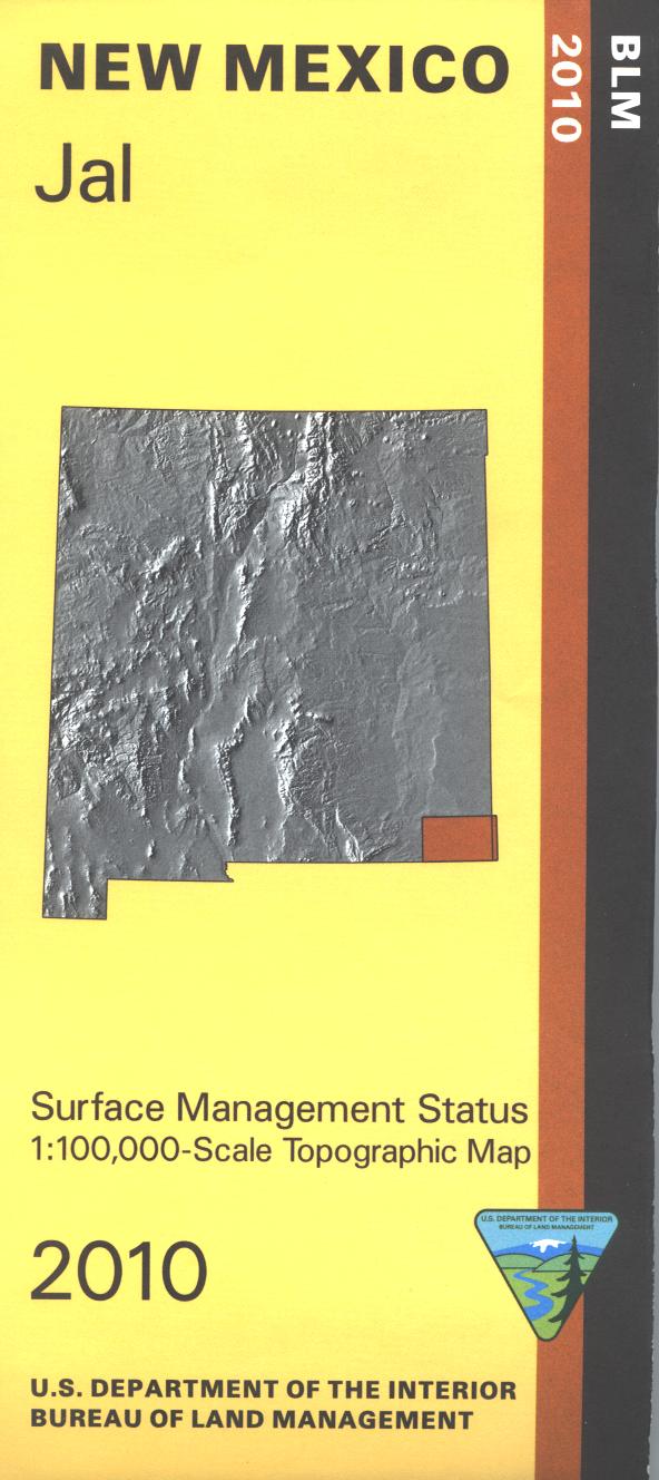
Map: New Mexico Recreation Southcentral
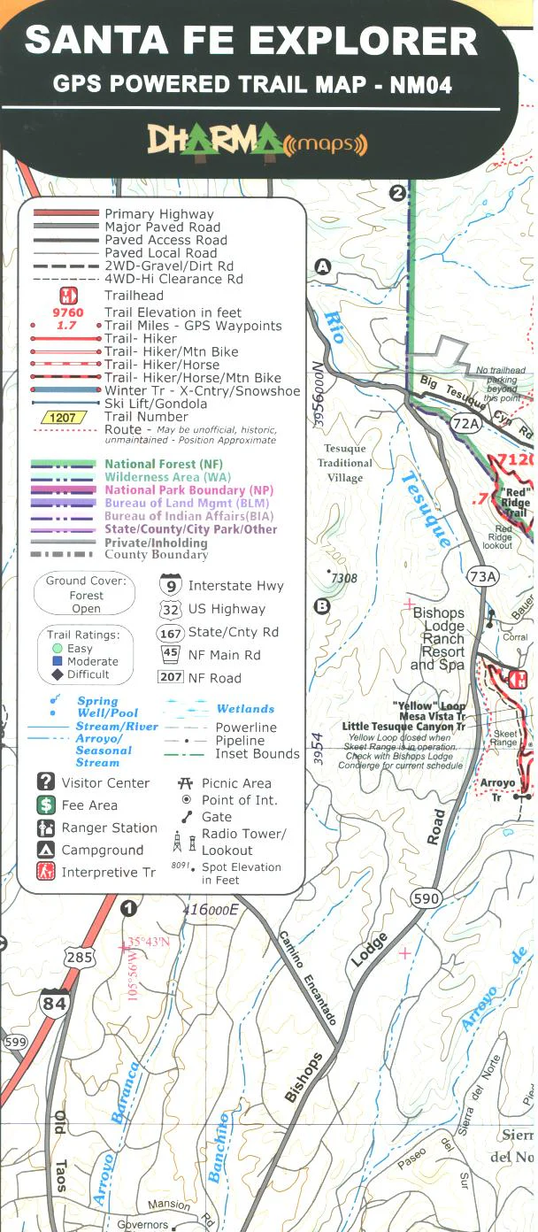
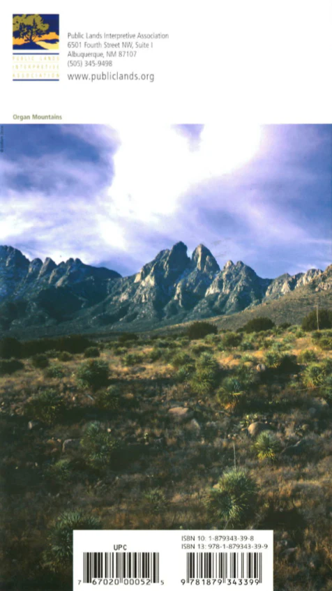
Revised, waterproof edition of the most comprehensive recreational map to camping, skiing, hiking or hunting in the great outdoors of south-central New Mexico. Detailed road information, GPS grid, hunting units, land ownership, emergency and contact numbers, as well as listings for campgrounds and other attractions. From the gypsum plains of Alamogordo's White Sands National Monument to the rugged cliffs of the Organ Mountains National Recreation Area near Las Cruces, and from the mountainous Mescalero Apache homeland around Ruidoso to the caves of Lincoln County, south central New Mexico has much to offer. See wintering birds at Bosque del Apache National Wildlife Refuge, browse among more than 20,000 petroglyphs at Three Rivers, learn about the state's fascinating history at Fort Stanton or by traveling along the Billy the Kid National Scenic Byway. Launch your travels from Las Cruces, Alamagordo, Ruidoso and the Lincoln National Forest, or Socorro on the historic Camino Real de Tierra Adentro National Historic Trail. Scale: 1:375,000, Printed on waterproof, tearproof synthetic paper. $9.99, 2013
More Images
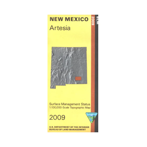
Map: New Mexico Recreation Southcentral
Revised, waterproof edition of the most comprehensive recreational map to camping, skiing, hiking or hunting in the great outdoors of south-central New Mexico. Detailed road information, GPS grid, hunting units, land ownership, emergency and contact numbers, as well as listings for campgrounds and other attractions. From the gypsum plains of Alamogordo's White Sands National Monument to the rugged cliffs of the Organ Mountains National Recreation Area near Las Cruces, and from the mountainous Mescalero Apache homeland around Ruidoso to the caves of Lincoln County, south central New Mexico has much to offer. See wintering birds at Bosque del Apache National Wildlife Refuge, browse among more than 20,000 petroglyphs at Three Rivers, learn about the state's fascinating history at Fort Stanton or by traveling along the Billy the Kid National Scenic Byway. Launch your travels from Las Cruces, Alamagordo, Ruidoso and the Lincoln National Forest, or Socorro on the historic Camino Real de Tierra Adentro National Historic Trail. Scale: 1:375,000, Printed on waterproof, tearproof synthetic paper. $9.99, 2013
Product Information
Product Information
Shipping & Returns
Shipping & Returns
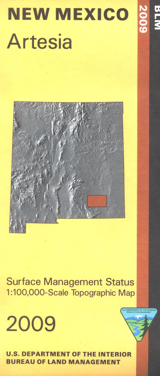
Description
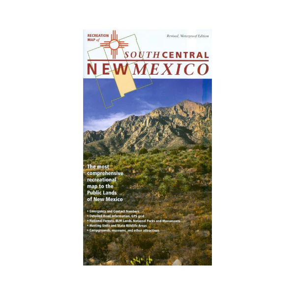
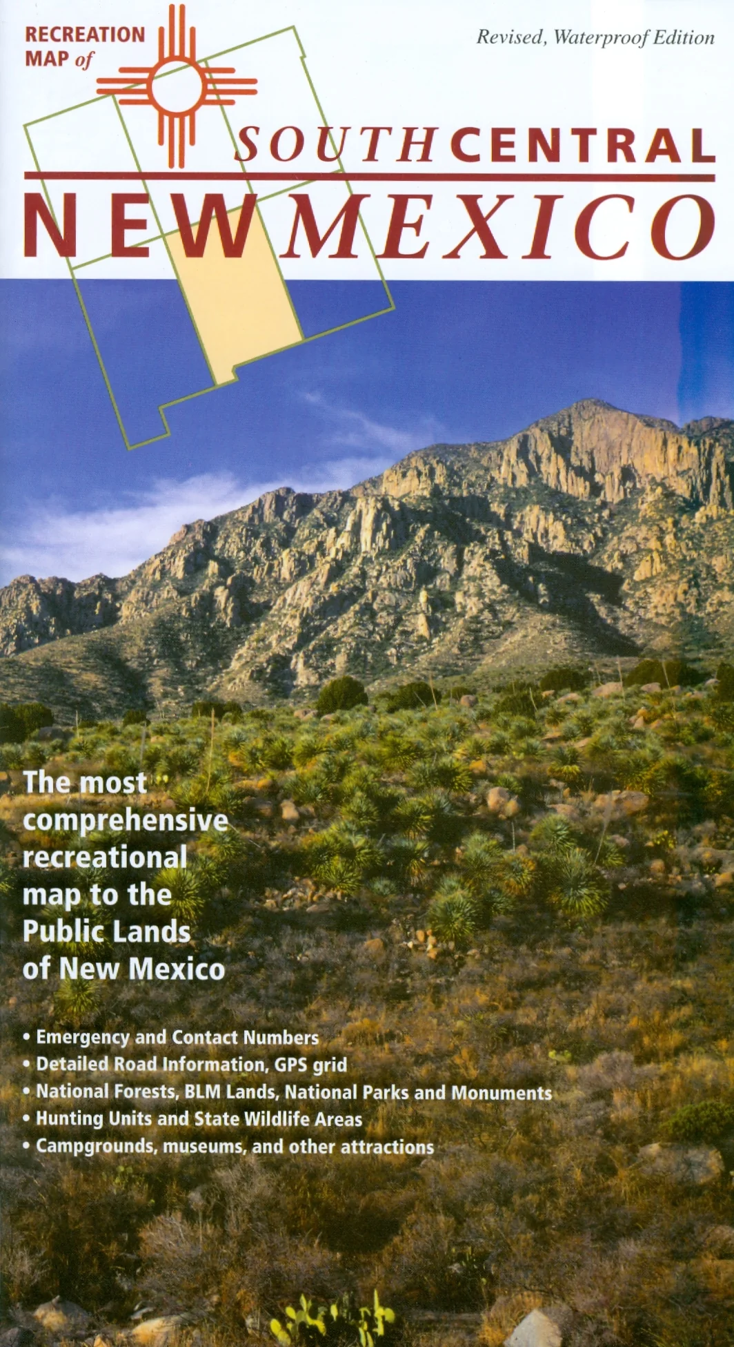
Revised, waterproof edition of the most comprehensive recreational map to camping, skiing, hiking or hunting in the great outdoors of south-central New Mexico. Detailed road information, GPS grid, hunting units, land ownership, emergency and contact numbers, as well as listings for campgrounds and other attractions. From the gypsum plains of Alamogordo's White Sands National Monument to the rugged cliffs of the Organ Mountains National Recreation Area near Las Cruces, and from the mountainous Mescalero Apache homeland around Ruidoso to the caves of Lincoln County, south central New Mexico has much to offer. See wintering birds at Bosque del Apache National Wildlife Refuge, browse among more than 20,000 petroglyphs at Three Rivers, learn about the state's fascinating history at Fort Stanton or by traveling along the Billy the Kid National Scenic Byway. Launch your travels from Las Cruces, Alamagordo, Ruidoso and the Lincoln National Forest, or Socorro on the historic Camino Real de Tierra Adentro National Historic Trail. Scale: 1:375,000, Printed on waterproof, tearproof synthetic paper. $9.99, 2013