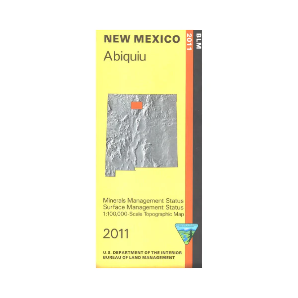
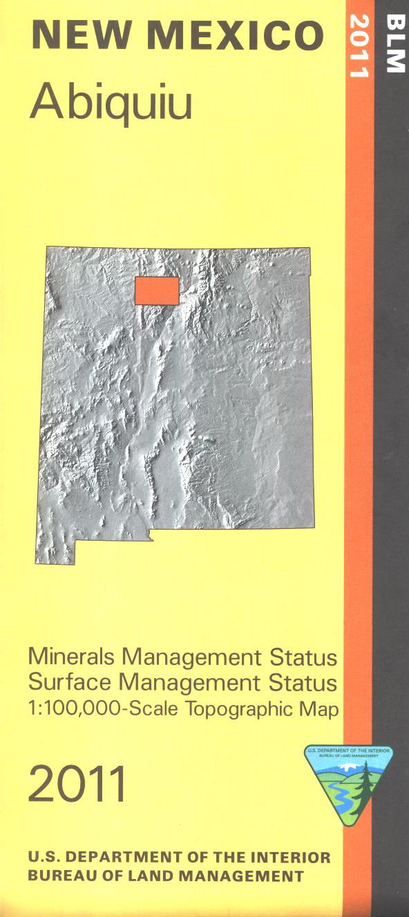
Map: Abiquiu - MINERAL (NM) - NM001SM
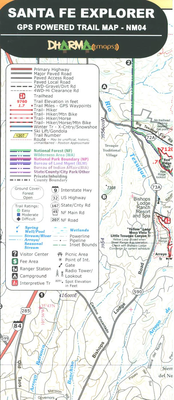
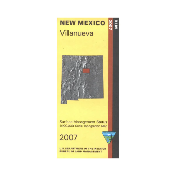
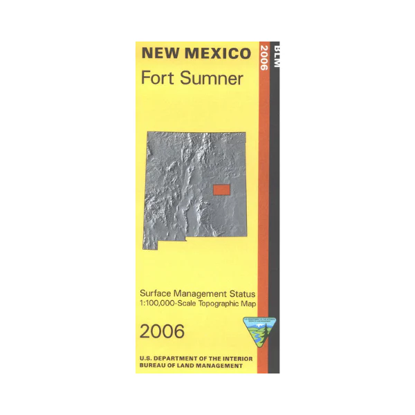
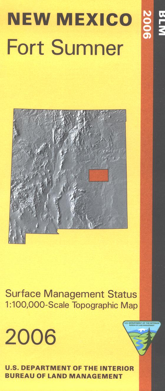
Official Bureau of Land Management topographic maps @1:100,000 metric scale (roughly 3/4" = 1 mile), are color coded to show military withdrawals, private, state, and federally-managed lands, roads and trails, lakes, rivers, streams, and developed recreation areas. It is a great map to have while touring "O'Keeffe Country," taking the boat to Abiquiu Lake, stalking game in Hunting Units 5A, 5B, 51, fishing or rafting the Chama River, wildlife watching, hiking, backpacking, mountain biking, camping, or OHV and ATV riding. Includes roads and lands in Rio Arriba, Sandoval Counties; Carson and Santa Fe National Forests. 2011
This is a Mineral Management edition of this map, with an additional layer showing below-surface mineral ownership.
More Images
Map: Abiquiu - MINERAL (NM) - NM001SM
Official Bureau of Land Management topographic maps @1:100,000 metric scale (roughly 3/4" = 1 mile), are color coded to show military withdrawals, private, state, and federally-managed lands, roads and trails, lakes, rivers, streams, and developed recreation areas. It is a great map to have while touring "O'Keeffe Country," taking the boat to Abiquiu Lake, stalking game in Hunting Units 5A, 5B, 51, fishing or rafting the Chama River, wildlife watching, hiking, backpacking, mountain biking, camping, or OHV and ATV riding. Includes roads and lands in Rio Arriba, Sandoval Counties; Carson and Santa Fe National Forests. 2011
This is a Mineral Management edition of this map, with an additional layer showing below-surface mineral ownership.
Product Information
Product Information
Shipping & Returns
Shipping & Returns
Description
Official Bureau of Land Management topographic maps @1:100,000 metric scale (roughly 3/4" = 1 mile), are color coded to show military withdrawals, private, state, and federally-managed lands, roads and trails, lakes, rivers, streams, and developed recreation areas. It is a great map to have while touring "O'Keeffe Country," taking the boat to Abiquiu Lake, stalking game in Hunting Units 5A, 5B, 51, fishing or rafting the Chama River, wildlife watching, hiking, backpacking, mountain biking, camping, or OHV and ATV riding. Includes roads and lands in Rio Arriba, Sandoval Counties; Carson and Santa Fe National Forests. 2011
This is a Mineral Management edition of this map, with an additional layer showing below-surface mineral ownership.