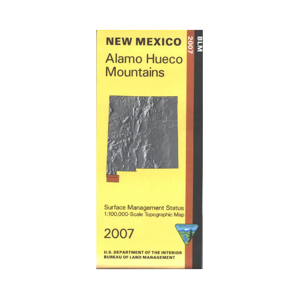
Map: Alamo Hueco Mts NM - NM003S
Official Bureau of Land Management topographic maps @1:100,000 metric scale (roughly 3/4" = 1 mile), are color coded to show military withdrawals, private, state, and federally-managed lands, roads and trails. It is a great map to have while looking for game in Hunting Units 26 and 27, wildlife watching, hiking, backpacking, mountain biking, camping, or OHV and ATV riding in New Mexico's "Boot Heel." Includes roads and lands in Hidalgo County, the Peloncillo Mountains portion of Coronado National Forest, plus - free at no extra charge - quite a bit of topography for Old Mexico. Revised 2007.
Original: $8.99
-65%$8.99
$3.15More Images
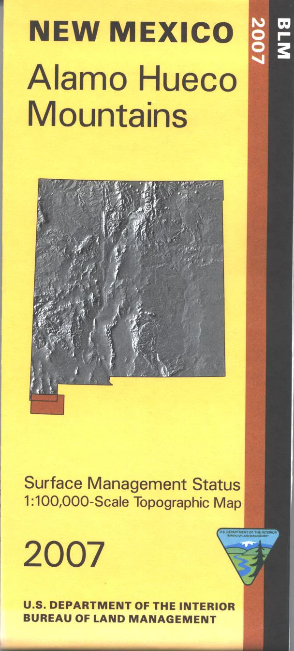
Map: Alamo Hueco Mts NM - NM003S
Official Bureau of Land Management topographic maps @1:100,000 metric scale (roughly 3/4" = 1 mile), are color coded to show military withdrawals, private, state, and federally-managed lands, roads and trails. It is a great map to have while looking for game in Hunting Units 26 and 27, wildlife watching, hiking, backpacking, mountain biking, camping, or OHV and ATV riding in New Mexico's "Boot Heel." Includes roads and lands in Hidalgo County, the Peloncillo Mountains portion of Coronado National Forest, plus - free at no extra charge - quite a bit of topography for Old Mexico. Revised 2007.
Product Information
Product Information
Shipping & Returns
Shipping & Returns
Description
Official Bureau of Land Management topographic maps @1:100,000 metric scale (roughly 3/4" = 1 mile), are color coded to show military withdrawals, private, state, and federally-managed lands, roads and trails. It is a great map to have while looking for game in Hunting Units 26 and 27, wildlife watching, hiking, backpacking, mountain biking, camping, or OHV and ATV riding in New Mexico's "Boot Heel." Includes roads and lands in Hidalgo County, the Peloncillo Mountains portion of Coronado National Forest, plus - free at no extra charge - quite a bit of topography for Old Mexico. Revised 2007.


