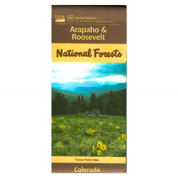
Map: Arapaho/Roosevelt National Forests (2024) CO
The maps show roads, trails, streams, lakes, recreation sites with information, land ownership, and major points of interest in the Arapaho and Roosevelt National Forests. This area surrounds Rocky Mountain National Park and includes Indian Peaks, Comanche Peak, Rawah, Never Summer, Cache La Poudre, James Peak, Vasquez, Byers Peak, Mount Evans, and Ptarmigan Peak Wildernesses.
A great map to use for hiking, backpacking, horseback riding, camping, fishing, scenic driving through the national park and on Hwy 14 along the Cache La Poudre River, and hunting. Map is useful for OHV use and CO Hunting Units 6, 7, 8, 18, 19, 20,28, 29, 37, 38, 171, and 191. The scale is 1/2"= mile. This map is printed on synthetic waterproof material. 2024.
Original: $19.99
-65%$19.99
$7.00Map: Arapaho/Roosevelt National Forests (2024) CO
The maps show roads, trails, streams, lakes, recreation sites with information, land ownership, and major points of interest in the Arapaho and Roosevelt National Forests. This area surrounds Rocky Mountain National Park and includes Indian Peaks, Comanche Peak, Rawah, Never Summer, Cache La Poudre, James Peak, Vasquez, Byers Peak, Mount Evans, and Ptarmigan Peak Wildernesses.
A great map to use for hiking, backpacking, horseback riding, camping, fishing, scenic driving through the national park and on Hwy 14 along the Cache La Poudre River, and hunting. Map is useful for OHV use and CO Hunting Units 6, 7, 8, 18, 19, 20,28, 29, 37, 38, 171, and 191. The scale is 1/2"= mile. This map is printed on synthetic waterproof material. 2024.
Product Information
Product Information
Shipping & Returns
Shipping & Returns
Description
The maps show roads, trails, streams, lakes, recreation sites with information, land ownership, and major points of interest in the Arapaho and Roosevelt National Forests. This area surrounds Rocky Mountain National Park and includes Indian Peaks, Comanche Peak, Rawah, Never Summer, Cache La Poudre, James Peak, Vasquez, Byers Peak, Mount Evans, and Ptarmigan Peak Wildernesses.
A great map to use for hiking, backpacking, horseback riding, camping, fishing, scenic driving through the national park and on Hwy 14 along the Cache La Poudre River, and hunting. Map is useful for OHV use and CO Hunting Units 6, 7, 8, 18, 19, 20,28, 29, 37, 38, 171, and 191. The scale is 1/2"= mile. This map is printed on synthetic waterproof material. 2024.


