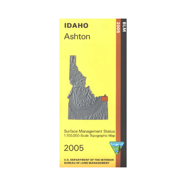
Map: Ashton ID - ID1002S
Explore Targhee National Forest north of Ashton, scenic driving on Mesa Falls Scenic Byway. Camping, boating, and fishing at Island Park Reservoir and Henrys Fork River. Explore the BLM lands and state lands west of Ashton; visit, fish, and view wildlife in the Sand Creek Wildlife Management Areas. Official Bureau of Land Management metric topographic map @1:100,000 scale (roughly 3/4"`1 mile), color-coded to show Surface Management/ownership. Map is useful for OHV use, and ID Hunting Unit 60, 60A, 61, 62A, and 62. 2005
Original: $8.99
-65%$8.99
$3.15More Images
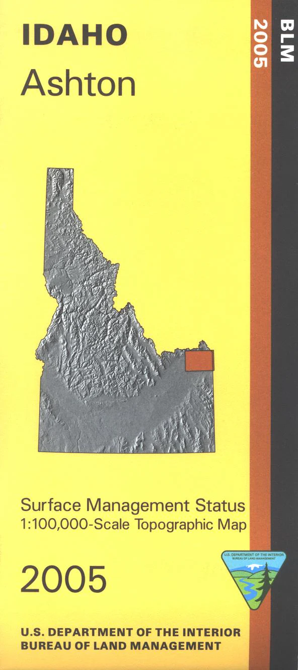
Map: Ashton ID - ID1002S
Explore Targhee National Forest north of Ashton, scenic driving on Mesa Falls Scenic Byway. Camping, boating, and fishing at Island Park Reservoir and Henrys Fork River. Explore the BLM lands and state lands west of Ashton; visit, fish, and view wildlife in the Sand Creek Wildlife Management Areas. Official Bureau of Land Management metric topographic map @1:100,000 scale (roughly 3/4"`1 mile), color-coded to show Surface Management/ownership. Map is useful for OHV use, and ID Hunting Unit 60, 60A, 61, 62A, and 62. 2005
Product Information
Product Information
Shipping & Returns
Shipping & Returns
Description
Explore Targhee National Forest north of Ashton, scenic driving on Mesa Falls Scenic Byway. Camping, boating, and fishing at Island Park Reservoir and Henrys Fork River. Explore the BLM lands and state lands west of Ashton; visit, fish, and view wildlife in the Sand Creek Wildlife Management Areas. Official Bureau of Land Management metric topographic map @1:100,000 scale (roughly 3/4"`1 mile), color-coded to show Surface Management/ownership. Map is useful for OHV use, and ID Hunting Unit 60, 60A, 61, 62A, and 62. 2005


