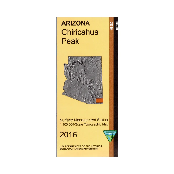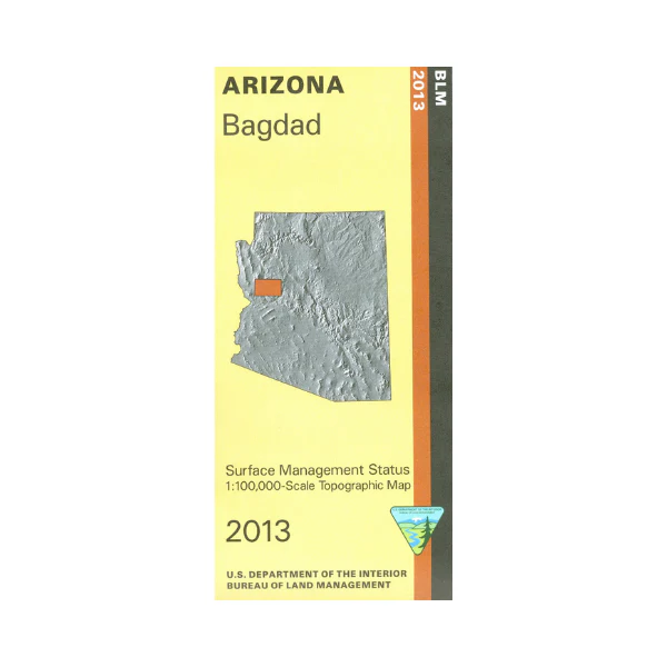
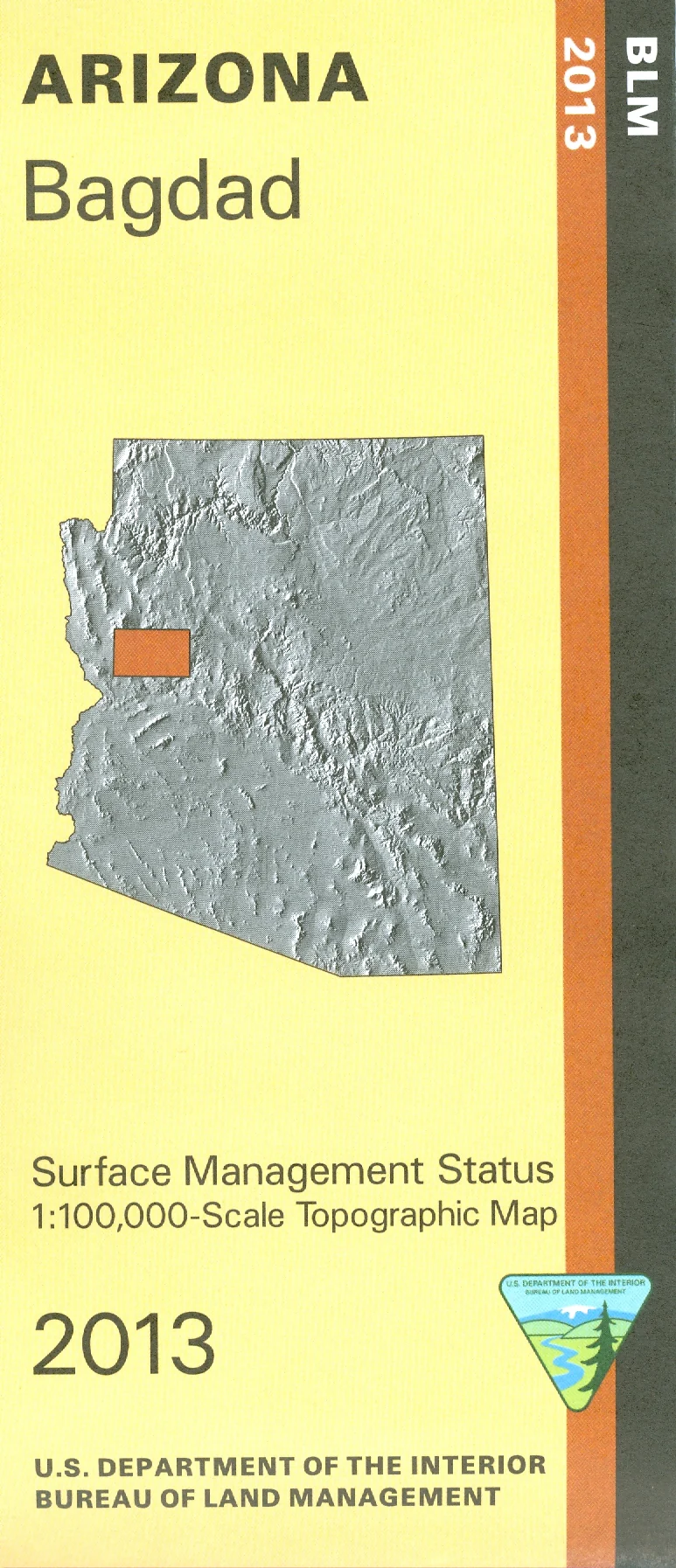
Map: Bagdad AZ - AZ104S
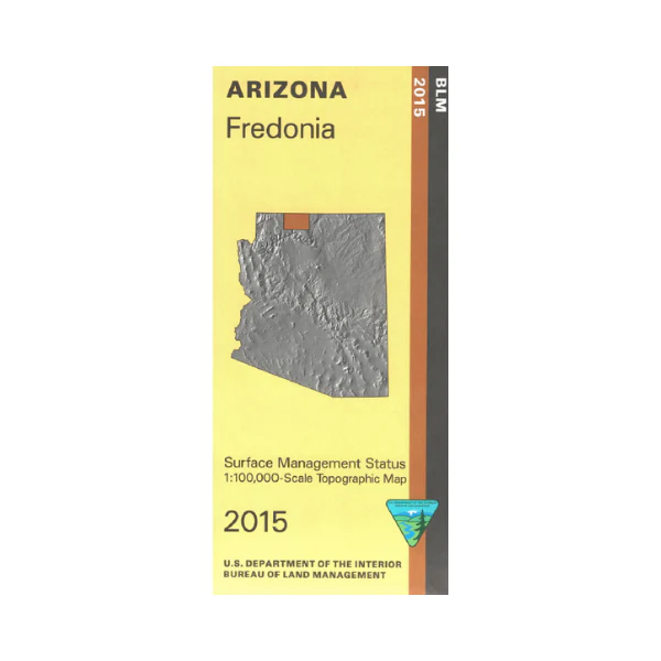
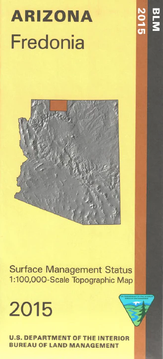
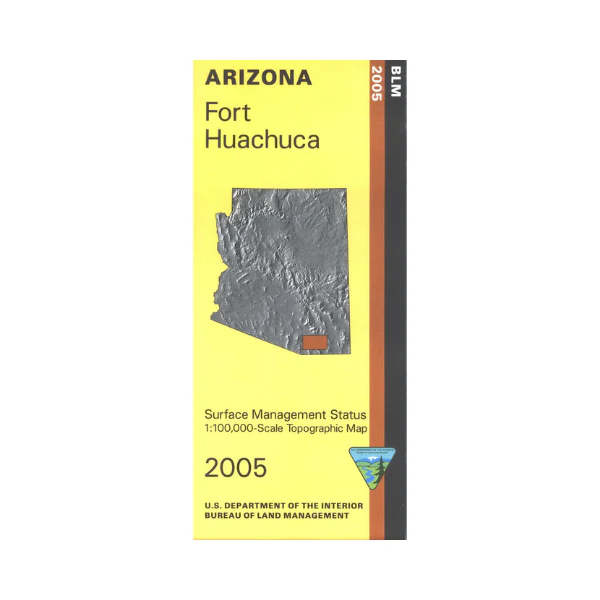
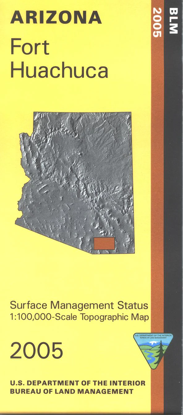
Differentiates between public and private land, and also among the various agencies who manage the public lands. Use this map to explore the Public Lands in the Aquarius Mountains and Hualapai Mountains as well as the Upper Burro Creek Wilderness. This map covers portions of AZ hunting unit 16A and 18B. Use this map for OHV/ATV driving, camping, hunting, fishing(where available), hiking, biking, and scenic backcountry driving. and Scale 1:100,000 (roughly 3/4 inch = 1 mile). 2013
More Images
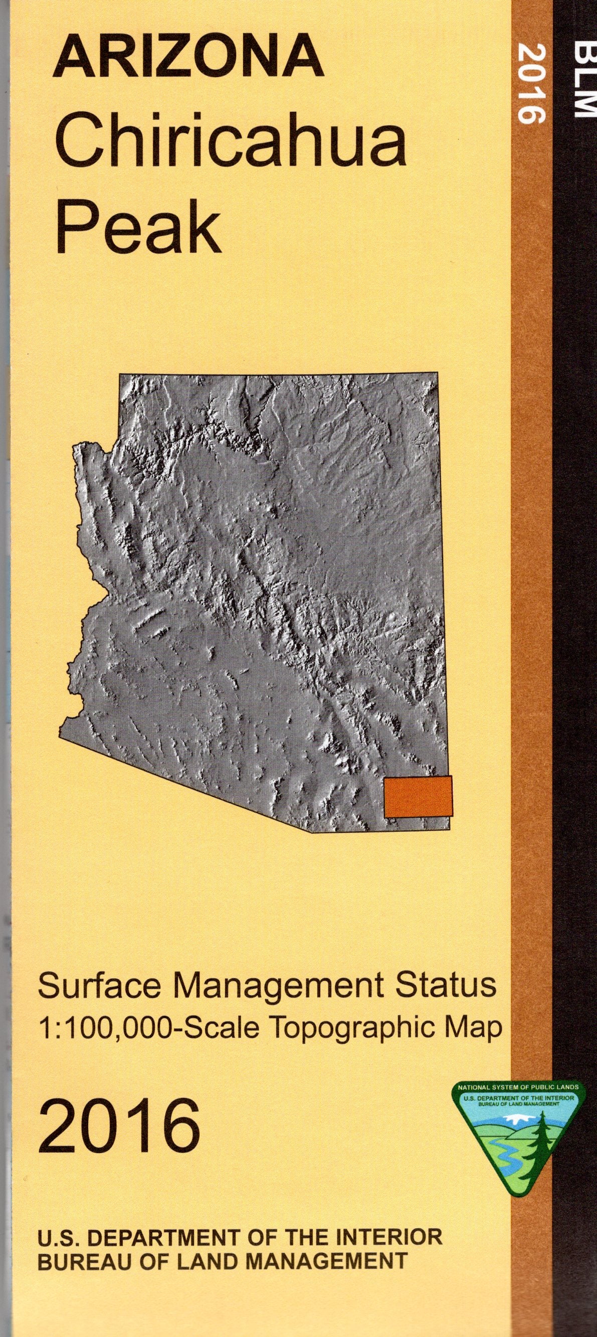
Map: Bagdad AZ - AZ104S
Differentiates between public and private land, and also among the various agencies who manage the public lands. Use this map to explore the Public Lands in the Aquarius Mountains and Hualapai Mountains as well as the Upper Burro Creek Wilderness. This map covers portions of AZ hunting unit 16A and 18B. Use this map for OHV/ATV driving, camping, hunting, fishing(where available), hiking, biking, and scenic backcountry driving. and Scale 1:100,000 (roughly 3/4 inch = 1 mile). 2013
Product Information
Product Information
Shipping & Returns
Shipping & Returns
Description
Differentiates between public and private land, and also among the various agencies who manage the public lands. Use this map to explore the Public Lands in the Aquarius Mountains and Hualapai Mountains as well as the Upper Burro Creek Wilderness. This map covers portions of AZ hunting unit 16A and 18B. Use this map for OHV/ATV driving, camping, hunting, fishing(where available), hiking, biking, and scenic backcountry driving. and Scale 1:100,000 (roughly 3/4 inch = 1 mile). 2013