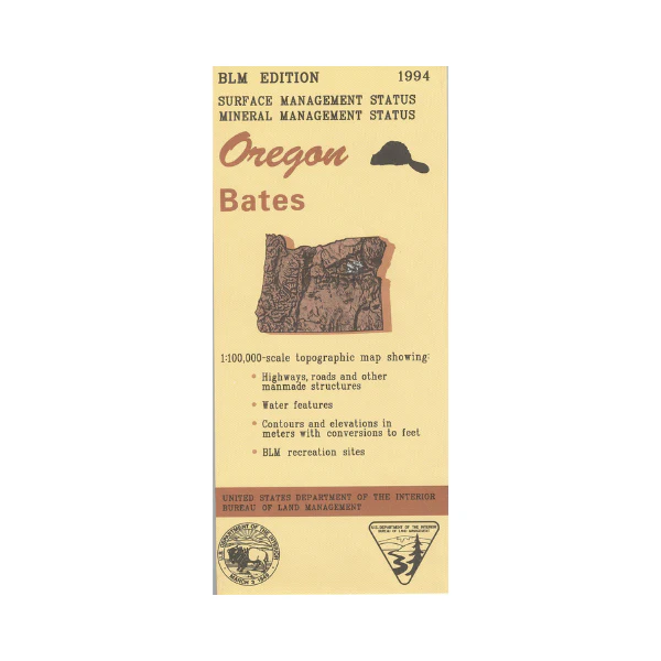
Map: Bates OR - OR004S
Map shows sections of Umatilla, Wallowa-Whitman, and Malheur National Forests surrounding Bates. Travel north to explore the forest roads and the Blue Mountains, and east to Phillips Lake. Bureau of Land Management metric map @1:100,000 scale (roughly 3/4"`1 mile), color-coded to show surface management, i.e. agency vs. private or tribal ownership. This map shows roads, water features, and the township and range lines. Use for OR Hunting Units 47, 50, 51, and 52. Currently only the version with surface and mineral management is available. 2017
More Images
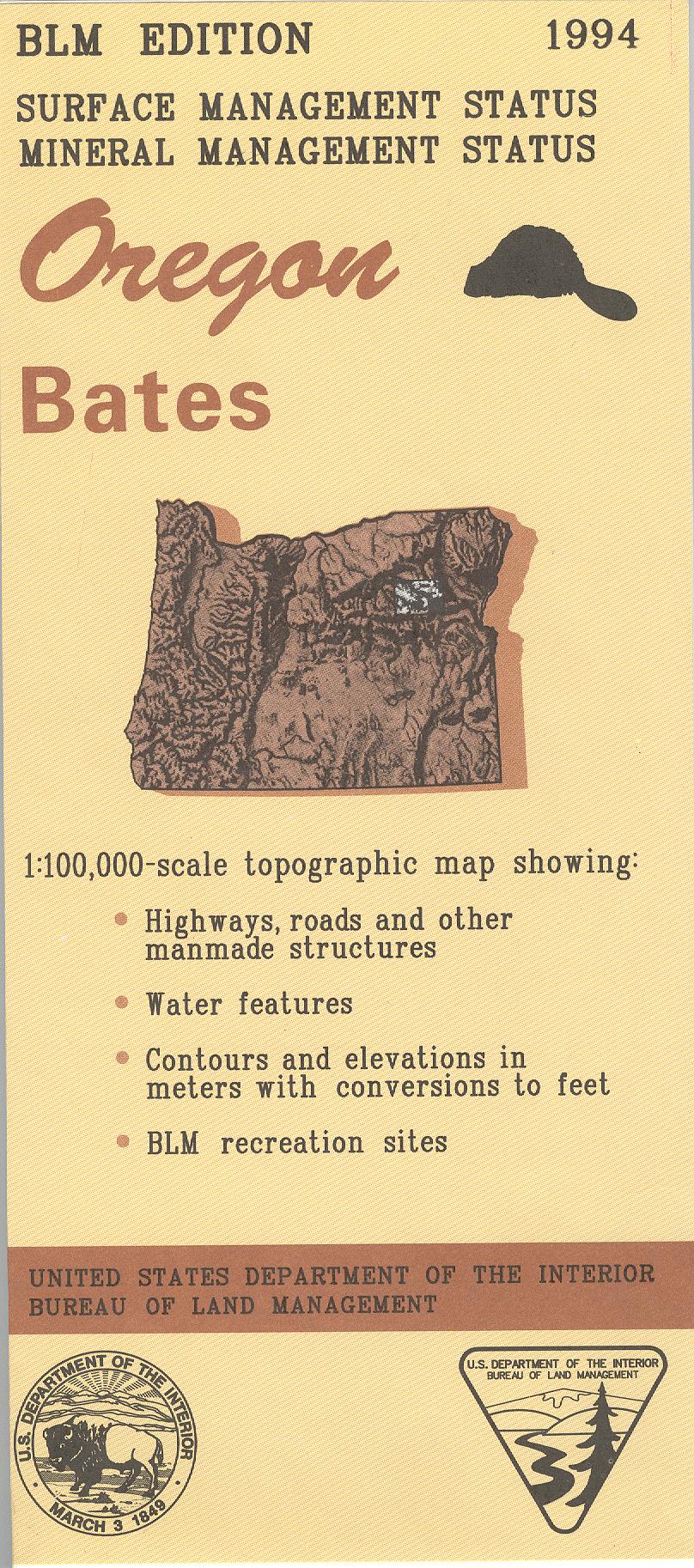
Map: Bates OR - OR004S
Map shows sections of Umatilla, Wallowa-Whitman, and Malheur National Forests surrounding Bates. Travel north to explore the forest roads and the Blue Mountains, and east to Phillips Lake. Bureau of Land Management metric map @1:100,000 scale (roughly 3/4"`1 mile), color-coded to show surface management, i.e. agency vs. private or tribal ownership. This map shows roads, water features, and the township and range lines. Use for OR Hunting Units 47, 50, 51, and 52. Currently only the version with surface and mineral management is available. 2017
Product Information
Product Information
Shipping & Returns
Shipping & Returns
Description
Map shows sections of Umatilla, Wallowa-Whitman, and Malheur National Forests surrounding Bates. Travel north to explore the forest roads and the Blue Mountains, and east to Phillips Lake. Bureau of Land Management metric map @1:100,000 scale (roughly 3/4"`1 mile), color-coded to show surface management, i.e. agency vs. private or tribal ownership. This map shows roads, water features, and the township and range lines. Use for OR Hunting Units 47, 50, 51, and 52. Currently only the version with surface and mineral management is available. 2017


