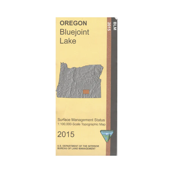
Map: Bluejoint Lake OR - OR006S
Map shows expansive BLM lands, the north half of Hart Mountain National Antelope Refuge, the adjacent Bluejoint Lake, and the other Warner Valley Lakes. Explore the BLM lands on the Lakeview to Steens National Back Country Byway which goes through the refuge. Opportunity for self-guided interpretive auto touring, wildlife viewing, hiking, fishing, and possibly canoeing in the refuge. Official Bureau of Land Management metric topographic map
@1:100,000 scale (roughly 3/4" = 1 mile), color-coded to show surface
management, i.e. agency vs. private or tribal ownership. This map shows roads, water features, recreation sites, points of interest, and the township
and range lines. Map is useful for OR Hunting Units 70, 71, and 74. 2015
More Images
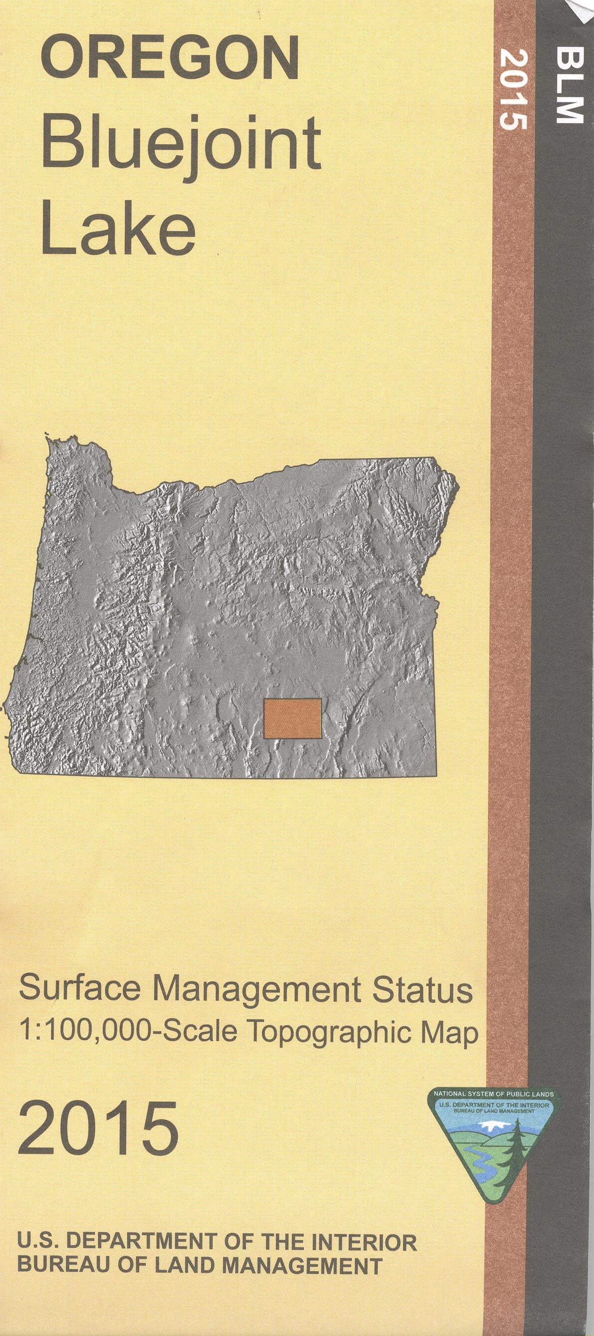
Map: Bluejoint Lake OR - OR006S
Map shows expansive BLM lands, the north half of Hart Mountain National Antelope Refuge, the adjacent Bluejoint Lake, and the other Warner Valley Lakes. Explore the BLM lands on the Lakeview to Steens National Back Country Byway which goes through the refuge. Opportunity for self-guided interpretive auto touring, wildlife viewing, hiking, fishing, and possibly canoeing in the refuge. Official Bureau of Land Management metric topographic map
@1:100,000 scale (roughly 3/4" = 1 mile), color-coded to show surface
management, i.e. agency vs. private or tribal ownership. This map shows roads, water features, recreation sites, points of interest, and the township
and range lines. Map is useful for OR Hunting Units 70, 71, and 74. 2015
Product Information
Product Information
Shipping & Returns
Shipping & Returns
Description
Map shows expansive BLM lands, the north half of Hart Mountain National Antelope Refuge, the adjacent Bluejoint Lake, and the other Warner Valley Lakes. Explore the BLM lands on the Lakeview to Steens National Back Country Byway which goes through the refuge. Opportunity for self-guided interpretive auto touring, wildlife viewing, hiking, fishing, and possibly canoeing in the refuge. Official Bureau of Land Management metric topographic map
@1:100,000 scale (roughly 3/4" = 1 mile), color-coded to show surface
management, i.e. agency vs. private or tribal ownership. This map shows roads, water features, recreation sites, points of interest, and the township
and range lines. Map is useful for OR Hunting Units 70, 71, and 74. 2015


