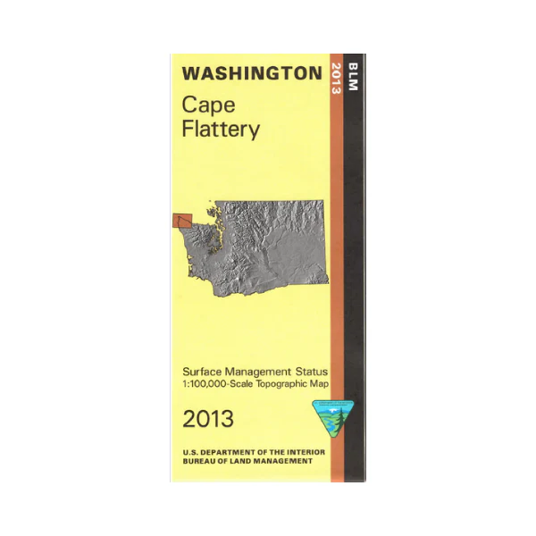
Map: Cape Flattery WA - WA004S
Cape Flattery is the westernmost land point in Washington. Access the site by traveling northwest from Sappho on Hwy 101. Map shows Strait of Juan De Fuca, Cape Flattery, a coastal section of Olympic National Park with camping at Ozette Lake or on the coast by hiking the trails, and part of Olympic National Forest with the campgrounds marked east of Sappho. This Bureau of Land Management map shows color-coded federal, state, and private lands, roads, water features, recreation sites, points of interest, place names, county and BLM district boundaries, township and range lines. Use this map for hunting in Units 601, 602, 603, and 607.
Scale is 1:100,000, roughly 3/4 inch to 1 mile. 2013
More Images
Map: Cape Flattery WA - WA004S
Cape Flattery is the westernmost land point in Washington. Access the site by traveling northwest from Sappho on Hwy 101. Map shows Strait of Juan De Fuca, Cape Flattery, a coastal section of Olympic National Park with camping at Ozette Lake or on the coast by hiking the trails, and part of Olympic National Forest with the campgrounds marked east of Sappho. This Bureau of Land Management map shows color-coded federal, state, and private lands, roads, water features, recreation sites, points of interest, place names, county and BLM district boundaries, township and range lines. Use this map for hunting in Units 601, 602, 603, and 607.
Scale is 1:100,000, roughly 3/4 inch to 1 mile. 2013
Product Information
Product Information
Shipping & Returns
Shipping & Returns
Description
Cape Flattery is the westernmost land point in Washington. Access the site by traveling northwest from Sappho on Hwy 101. Map shows Strait of Juan De Fuca, Cape Flattery, a coastal section of Olympic National Park with camping at Ozette Lake or on the coast by hiking the trails, and part of Olympic National Forest with the campgrounds marked east of Sappho. This Bureau of Land Management map shows color-coded federal, state, and private lands, roads, water features, recreation sites, points of interest, place names, county and BLM district boundaries, township and range lines. Use this map for hunting in Units 601, 602, 603, and 607.
Scale is 1:100,000, roughly 3/4 inch to 1 mile. 2013


