✨ New Arrivals Just Dropped!Explore
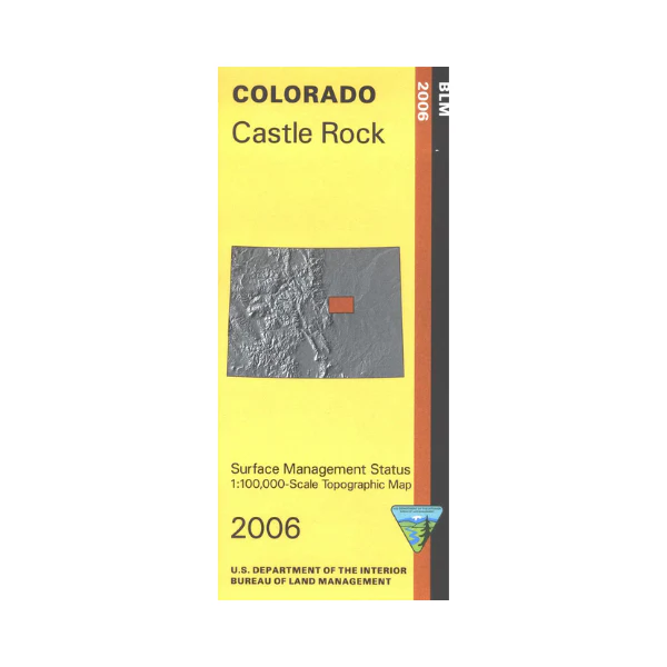
Map: Castle Rock CO - CO110S
Mineral Management version. The BLM quadrant maps are scaled at 1:100,000, and cover an area of about 30 x 50 miles. Explore the small section of Pike National Forest shown on the map. Visit Castlewood Canyon State Park; enjoy picnicking, rock climbing, and hiking. Map is useful for Colorado Hunting Units 51, 104, 105, 111, and 512. No BLM land shown on map, but has scattered sections of state lands. Differentiates between public and private land, and also among the various agencies who manage the public lands. 2006
$3.15
Original: $8.99
-65%Map: Castle Rock CO - CO110S—
$8.99
$3.15More Images
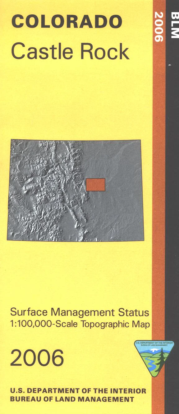
Map: Castle Rock CO - CO110S
Mineral Management version. The BLM quadrant maps are scaled at 1:100,000, and cover an area of about 30 x 50 miles. Explore the small section of Pike National Forest shown on the map. Visit Castlewood Canyon State Park; enjoy picnicking, rock climbing, and hiking. Map is useful for Colorado Hunting Units 51, 104, 105, 111, and 512. No BLM land shown on map, but has scattered sections of state lands. Differentiates between public and private land, and also among the various agencies who manage the public lands. 2006
Product Information
Product Information
Shipping & Returns
Shipping & Returns
Description
Mineral Management version. The BLM quadrant maps are scaled at 1:100,000, and cover an area of about 30 x 50 miles. Explore the small section of Pike National Forest shown on the map. Visit Castlewood Canyon State Park; enjoy picnicking, rock climbing, and hiking. Map is useful for Colorado Hunting Units 51, 104, 105, 111, and 512. No BLM land shown on map, but has scattered sections of state lands. Differentiates between public and private land, and also among the various agencies who manage the public lands. 2006


