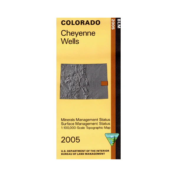
Map: Cheyenne Wells CO (MINERAL)- CO111SM
This map covers lands from the Colorado New Mexico border west to Rush Creek State habitat Area, and north and south of I-40. Map includes scattered state land parcels among mostly private land. Also includes the Sand Creek Massacre National Historic Site southwest of Cheyenne Wells. The BLM quadrant maps are scaled at 1:100,000, and cover an area of about 30 x 50 miles. Ownership status is denoted by color, and roads, lakes, streams, and other topographical features are marked on these maps. Use this map for hunting in Units 115, 116, 117, 121, and 122. 2005
This is a mineral management map, with an additional layer showing below-surface mineral rights.
Original: $8.99
-65%$8.99
$3.15More Images
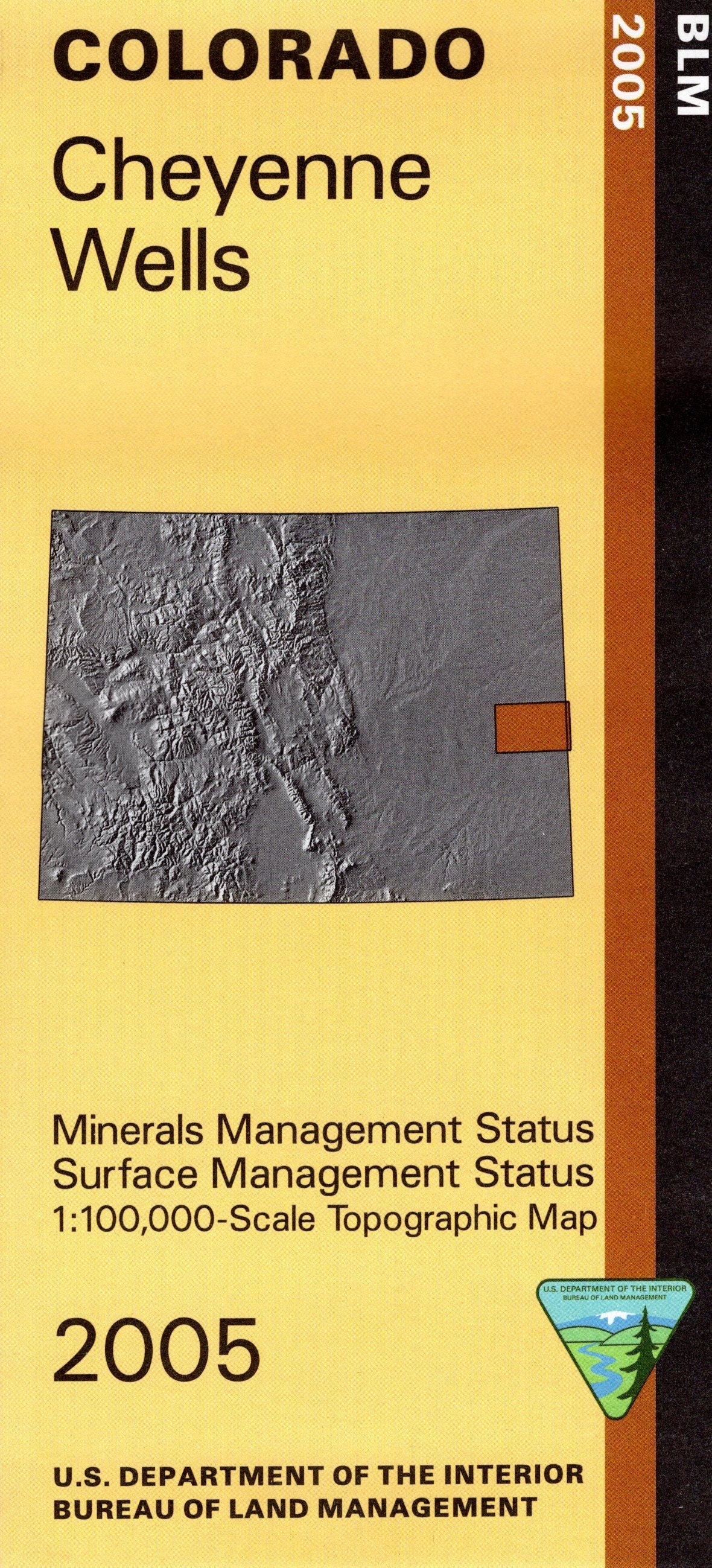
Map: Cheyenne Wells CO (MINERAL)- CO111SM
This map covers lands from the Colorado New Mexico border west to Rush Creek State habitat Area, and north and south of I-40. Map includes scattered state land parcels among mostly private land. Also includes the Sand Creek Massacre National Historic Site southwest of Cheyenne Wells. The BLM quadrant maps are scaled at 1:100,000, and cover an area of about 30 x 50 miles. Ownership status is denoted by color, and roads, lakes, streams, and other topographical features are marked on these maps. Use this map for hunting in Units 115, 116, 117, 121, and 122. 2005
This is a mineral management map, with an additional layer showing below-surface mineral rights.
Product Information
Product Information
Shipping & Returns
Shipping & Returns
Description
This map covers lands from the Colorado New Mexico border west to Rush Creek State habitat Area, and north and south of I-40. Map includes scattered state land parcels among mostly private land. Also includes the Sand Creek Massacre National Historic Site southwest of Cheyenne Wells. The BLM quadrant maps are scaled at 1:100,000, and cover an area of about 30 x 50 miles. Ownership status is denoted by color, and roads, lakes, streams, and other topographical features are marked on these maps. Use this map for hunting in Units 115, 116, 117, 121, and 122. 2005
This is a mineral management map, with an additional layer showing below-surface mineral rights.


