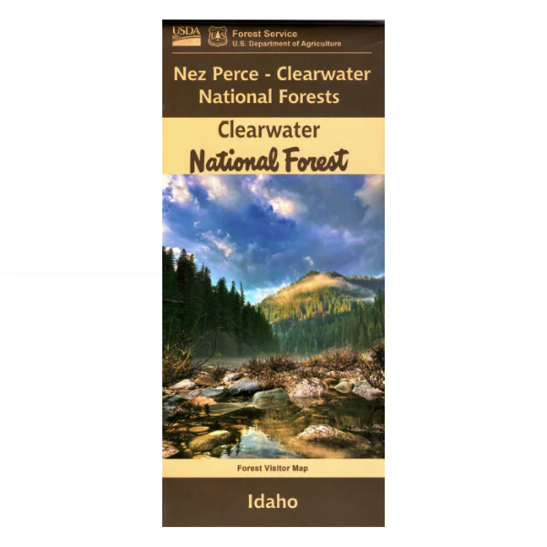
Map: Clearwater National Forest ID
Covers the entire forest, including part of the Selway Bitterroot Wilderness, the wild and scenic Middle Fork of the Clearwater River and its two tributaries, the Selway River and the Lochsa River. Scenic driving along the Lochsa River on Hwy 12 with many opportunities for camping, hiking, fishing, and floating as you head to Lolo Pass. Explore other forest roads in the west section, east of Moscow. Official map is scaled at 1/2"=1 mile. Shows all lands, roads, trails, water features, campgrounds and other recreation sites within the forest. No topographic data. The map includes information about motorized off-road travel (ATVs, motorcycles, etc.) Tear proof synthetic paper. Map is useful for ID Hunting Units 5, 6, 7, 8, 8A, 9, 10, 10A, 12, 16, and 17. 2024 Reprint.
Original: $19.99
-65%$19.99
$7.00Map: Clearwater National Forest ID
Covers the entire forest, including part of the Selway Bitterroot Wilderness, the wild and scenic Middle Fork of the Clearwater River and its two tributaries, the Selway River and the Lochsa River. Scenic driving along the Lochsa River on Hwy 12 with many opportunities for camping, hiking, fishing, and floating as you head to Lolo Pass. Explore other forest roads in the west section, east of Moscow. Official map is scaled at 1/2"=1 mile. Shows all lands, roads, trails, water features, campgrounds and other recreation sites within the forest. No topographic data. The map includes information about motorized off-road travel (ATVs, motorcycles, etc.) Tear proof synthetic paper. Map is useful for ID Hunting Units 5, 6, 7, 8, 8A, 9, 10, 10A, 12, 16, and 17. 2024 Reprint.
Product Information
Product Information
Shipping & Returns
Shipping & Returns
Description
Covers the entire forest, including part of the Selway Bitterroot Wilderness, the wild and scenic Middle Fork of the Clearwater River and its two tributaries, the Selway River and the Lochsa River. Scenic driving along the Lochsa River on Hwy 12 with many opportunities for camping, hiking, fishing, and floating as you head to Lolo Pass. Explore other forest roads in the west section, east of Moscow. Official map is scaled at 1/2"=1 mile. Shows all lands, roads, trails, water features, campgrounds and other recreation sites within the forest. No topographic data. The map includes information about motorized off-road travel (ATVs, motorcycles, etc.) Tear proof synthetic paper. Map is useful for ID Hunting Units 5, 6, 7, 8, 8A, 9, 10, 10A, 12, 16, and 17. 2024 Reprint.


