✨ New Arrivals Just Dropped!Explore
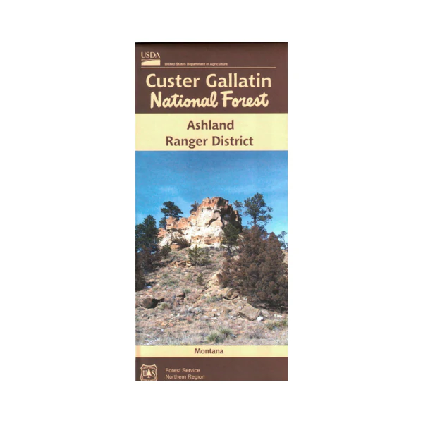
Map: Custer Gallatin National Forest Map MT - Ashland RD
Covers the entire Ashland Ranger District. Official map is scaled at 1"=1 mile.
Shows all lands, roads, trails, campgrounds and other recreation
sites within the forest. 2016.
$19.99
Map: Custer Gallatin National Forest Map MT - Ashland RD—
$19.99
More Images
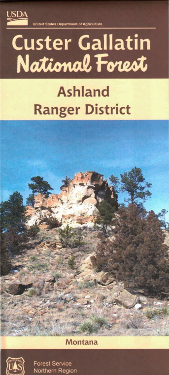
Map: Custer Gallatin National Forest Map MT - Ashland RD
Covers the entire Ashland Ranger District. Official map is scaled at 1"=1 mile.
Shows all lands, roads, trails, campgrounds and other recreation
sites within the forest. 2016.
Product Information
Product Information
Shipping & Returns
Shipping & Returns
Description
Covers the entire Ashland Ranger District. Official map is scaled at 1"=1 mile.
Shows all lands, roads, trails, campgrounds and other recreation
sites within the forest. 2016.


