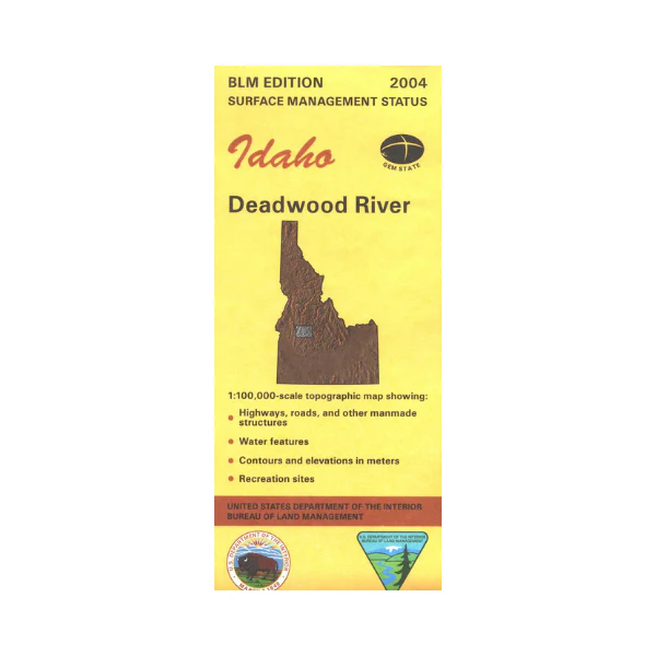
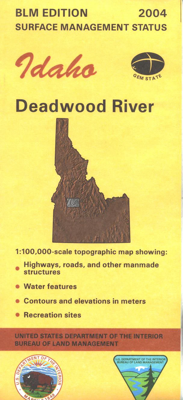
Map: Deadwood River ID - ID1018S
Explore Salmon River Mountains area in Boise National Forest. Scenic driving on Ponderosa Pine Scenic Byway leading to Sawtooth National Recreation Area with the Centennial Trail which also leads into the River of No Return Wilderness shown on the map. Numerous campgrounds are marked. Official Bureau of Land Management metric topographic map @1:100,000 scale (roughly 3/4"`1 mile), color-coded to show Surface Management/ownership. Map shows roads, OHV/4WD roads, recreation sites,and waterways. Map is useful for OHV use, and ID Hunting Units 33, 34, 35, and 36. 2004
Original: $8.99
-65%$8.99
$3.15More Images
Map: Deadwood River ID - ID1018S
Explore Salmon River Mountains area in Boise National Forest. Scenic driving on Ponderosa Pine Scenic Byway leading to Sawtooth National Recreation Area with the Centennial Trail which also leads into the River of No Return Wilderness shown on the map. Numerous campgrounds are marked. Official Bureau of Land Management metric topographic map @1:100,000 scale (roughly 3/4"`1 mile), color-coded to show Surface Management/ownership. Map shows roads, OHV/4WD roads, recreation sites,and waterways. Map is useful for OHV use, and ID Hunting Units 33, 34, 35, and 36. 2004
Product Information
Product Information
Shipping & Returns
Shipping & Returns
Description
Explore Salmon River Mountains area in Boise National Forest. Scenic driving on Ponderosa Pine Scenic Byway leading to Sawtooth National Recreation Area with the Centennial Trail which also leads into the River of No Return Wilderness shown on the map. Numerous campgrounds are marked. Official Bureau of Land Management metric topographic map @1:100,000 scale (roughly 3/4"`1 mile), color-coded to show Surface Management/ownership. Map shows roads, OHV/4WD roads, recreation sites,and waterways. Map is useful for OHV use, and ID Hunting Units 33, 34, 35, and 36. 2004


