✨ New Arrivals Just Dropped!Explore
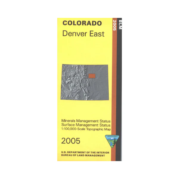
Map: Denver East CO - CO117S
Mineral Management version. The BLM quadrant maps are scaled at 1:100,000, and cover an area of about 30 x 50 miles. Ownership status is denoted by color, and roads, lakes, streams, and other topographical features are marked on these maps. Visit Cherry Creek State Park; offers camping, horse riding, hiking, fishing, boating, swimming, and picnicking. No BLM land shown on map. Use this map for hunting in Units 99, 104, 105, and 106. 2005
$8.99
Map: Denver East CO - CO117S—
$8.99
More Images
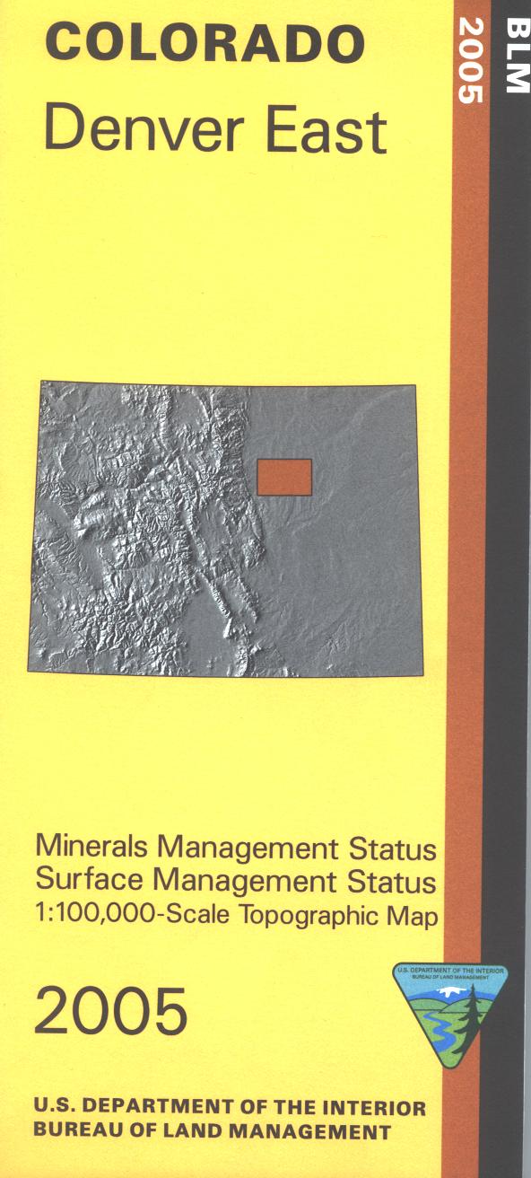
Map: Denver East CO - CO117S
Mineral Management version. The BLM quadrant maps are scaled at 1:100,000, and cover an area of about 30 x 50 miles. Ownership status is denoted by color, and roads, lakes, streams, and other topographical features are marked on these maps. Visit Cherry Creek State Park; offers camping, horse riding, hiking, fishing, boating, swimming, and picnicking. No BLM land shown on map. Use this map for hunting in Units 99, 104, 105, and 106. 2005
Product Information
Product Information
Shipping & Returns
Shipping & Returns
Description
Mineral Management version. The BLM quadrant maps are scaled at 1:100,000, and cover an area of about 30 x 50 miles. Ownership status is denoted by color, and roads, lakes, streams, and other topographical features are marked on these maps. Visit Cherry Creek State Park; offers camping, horse riding, hiking, fishing, boating, swimming, and picnicking. No BLM land shown on map. Use this map for hunting in Units 99, 104, 105, and 106. 2005


