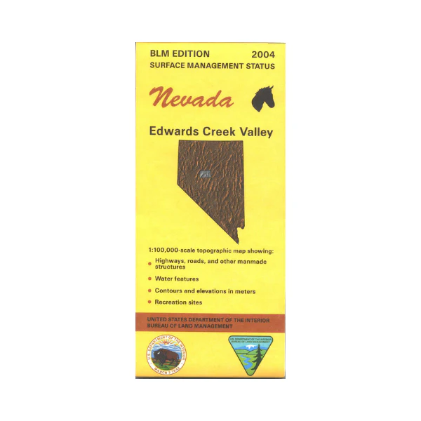
Map: Edwards Creek Valley NV - NV119S
BLM Management Status maps color code who owns what in the given quadrant; private, tribal, or public. Roads, waterways, recreation sites, and other manmade and natural features are clearly marked. The Reese River is shown with Hwy 305 near the river. Map is useful for OHV use, and NV Hunting Units 156, 182, and 183. Almost all of the map is BLM land. 2004
Original: $8.99
-65%$8.99
$3.15More Images
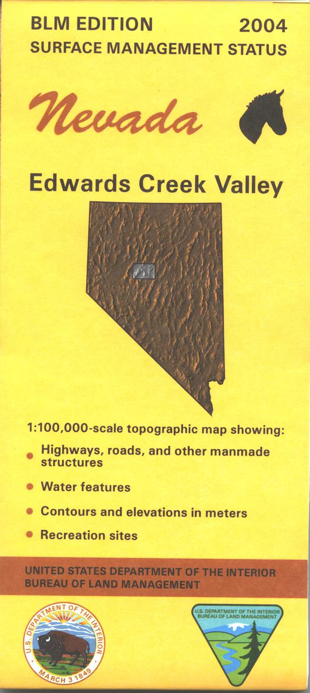
Map: Edwards Creek Valley NV - NV119S
BLM Management Status maps color code who owns what in the given quadrant; private, tribal, or public. Roads, waterways, recreation sites, and other manmade and natural features are clearly marked. The Reese River is shown with Hwy 305 near the river. Map is useful for OHV use, and NV Hunting Units 156, 182, and 183. Almost all of the map is BLM land. 2004
Product Information
Product Information
Shipping & Returns
Shipping & Returns
Description
BLM Management Status maps color code who owns what in the given quadrant; private, tribal, or public. Roads, waterways, recreation sites, and other manmade and natural features are clearly marked. The Reese River is shown with Hwy 305 near the river. Map is useful for OHV use, and NV Hunting Units 156, 182, and 183. Almost all of the map is BLM land. 2004