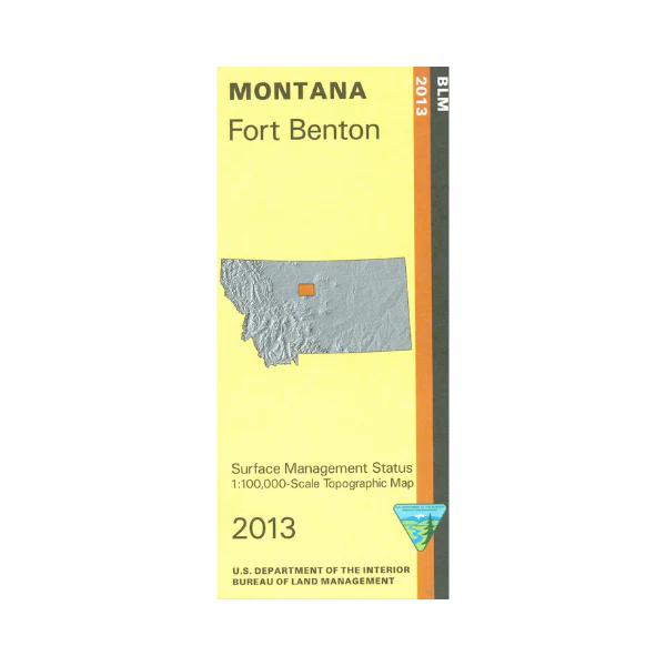
Map: Fort Benton MT - MT1071S
Map shows the Upper Missouri National Wild and Scenic River from Hole in the Wall Boat Camp west to Carter Ferry Fishing Site. Includes the Upper Missouri River Breaks Monument east of Fort Benton and the Lewis and Clark National Historic Trail. For people floating the river the campgrounds and boat ramps are marked. Official Bureau of Land Management metric topographic map @1:100,000 scale (roughly 3/4"`1 mile), color-coded to show surface
management, i.e. agency vs. private or tribal ownership. Map shows color coded public and private ownership, roads, water features, recreation sites, points of interest, and the township
and range lines. Use this map for hunting Deer, Elk, and Mountain Lion in Units 400, 404, 405, 447, 471, and 680. 2013
More Images
Map: Fort Benton MT - MT1071S
Map shows the Upper Missouri National Wild and Scenic River from Hole in the Wall Boat Camp west to Carter Ferry Fishing Site. Includes the Upper Missouri River Breaks Monument east of Fort Benton and the Lewis and Clark National Historic Trail. For people floating the river the campgrounds and boat ramps are marked. Official Bureau of Land Management metric topographic map @1:100,000 scale (roughly 3/4"`1 mile), color-coded to show surface
management, i.e. agency vs. private or tribal ownership. Map shows color coded public and private ownership, roads, water features, recreation sites, points of interest, and the township
and range lines. Use this map for hunting Deer, Elk, and Mountain Lion in Units 400, 404, 405, 447, 471, and 680. 2013
Product Information
Product Information
Shipping & Returns
Shipping & Returns
Description
Map shows the Upper Missouri National Wild and Scenic River from Hole in the Wall Boat Camp west to Carter Ferry Fishing Site. Includes the Upper Missouri River Breaks Monument east of Fort Benton and the Lewis and Clark National Historic Trail. For people floating the river the campgrounds and boat ramps are marked. Official Bureau of Land Management metric topographic map @1:100,000 scale (roughly 3/4"`1 mile), color-coded to show surface
management, i.e. agency vs. private or tribal ownership. Map shows color coded public and private ownership, roads, water features, recreation sites, points of interest, and the township
and range lines. Use this map for hunting Deer, Elk, and Mountain Lion in Units 400, 404, 405, 447, 471, and 680. 2013


