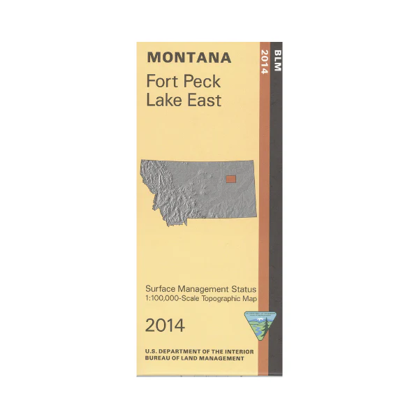
Map: Fort Peck Lake East MT - MT1072S
Fort Peck Lake is shown from Nelson Creek Recreation Area in the Dry Arm west to Hell Creek State Park in the Hell Creek Arm. Then north to Fort Peck Dam in Duck Creek Bay area; all part of Charles M Russell National Wildlife Refuge. Enjoy camping, fishing, boating, and wildlife viewing. Explore roads leading to various bay areas of the lake, or explore numerous BLM lands surrounding the lake. Official Bureau of Land Management metric topographic map @1:100,000 scale (roughly 3/4"`1 mile), color-coded to show surface management, i.e. agency vs. private or tribal ownership. Map shows color coded public and private ownership, roads, water features, recreation sites, points of interest, and the township and range lines. Use for hunting Deer, Elk, and Mountain Lion in Units 630, 632, 650, 652, and 700. 2014
Original: $8.99
-65%$8.99
$3.15More Images
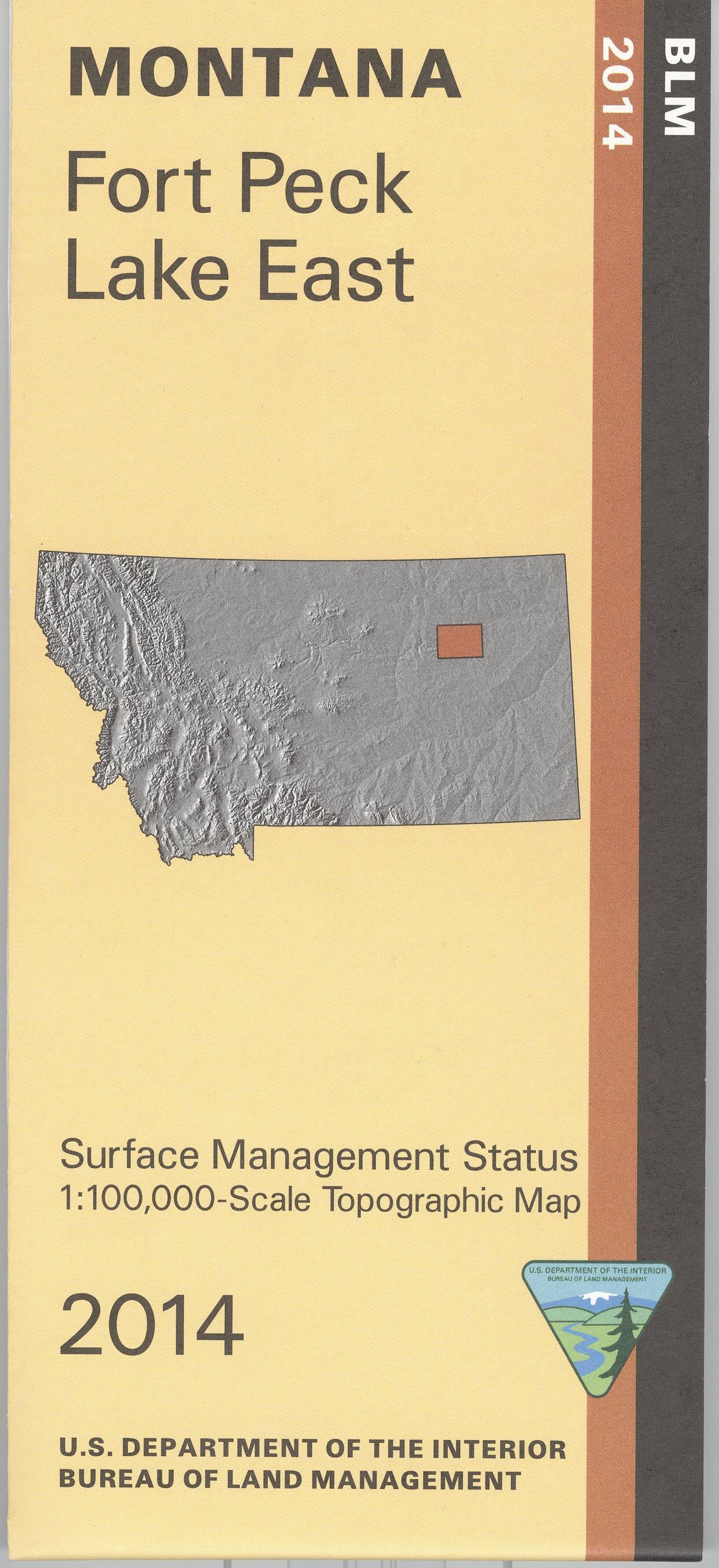
Map: Fort Peck Lake East MT - MT1072S
Fort Peck Lake is shown from Nelson Creek Recreation Area in the Dry Arm west to Hell Creek State Park in the Hell Creek Arm. Then north to Fort Peck Dam in Duck Creek Bay area; all part of Charles M Russell National Wildlife Refuge. Enjoy camping, fishing, boating, and wildlife viewing. Explore roads leading to various bay areas of the lake, or explore numerous BLM lands surrounding the lake. Official Bureau of Land Management metric topographic map @1:100,000 scale (roughly 3/4"`1 mile), color-coded to show surface management, i.e. agency vs. private or tribal ownership. Map shows color coded public and private ownership, roads, water features, recreation sites, points of interest, and the township and range lines. Use for hunting Deer, Elk, and Mountain Lion in Units 630, 632, 650, 652, and 700. 2014
Product Information
Product Information
Shipping & Returns
Shipping & Returns
Description
Fort Peck Lake is shown from Nelson Creek Recreation Area in the Dry Arm west to Hell Creek State Park in the Hell Creek Arm. Then north to Fort Peck Dam in Duck Creek Bay area; all part of Charles M Russell National Wildlife Refuge. Enjoy camping, fishing, boating, and wildlife viewing. Explore roads leading to various bay areas of the lake, or explore numerous BLM lands surrounding the lake. Official Bureau of Land Management metric topographic map @1:100,000 scale (roughly 3/4"`1 mile), color-coded to show surface management, i.e. agency vs. private or tribal ownership. Map shows color coded public and private ownership, roads, water features, recreation sites, points of interest, and the township and range lines. Use for hunting Deer, Elk, and Mountain Lion in Units 630, 632, 650, 652, and 700. 2014


