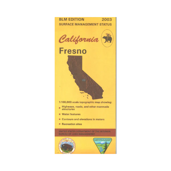
Map: Fresno CA - CA165S
Map shows Fresno and mostly private lands to the east, with a part of western Sierra and Sequoia National Forests. From Fresno travel east to Pine Flat Reservoir, then continue along the Kings River into the national forests with opportunities for camping, and fishing. North of Fresno is Millerton Lake State Recreation Area offering camping, hiking, mountain biking, fishing, and boating. Official Bureau of Land Management metric topographic map @1:100,000 scale (roughly 3/4"=1 mile), color-coded to show surface management, i.e. agency vs. private or tribal ownership. Map shows roads, water features, recreation sites,points of interest, and the township and range lines. Maps show trails, roads, and developed recreation areas such as campgrounds. Use this map for Deer Hunting in Unit A South 110 and D7 and D8. 2003
Original: $8.99
-65%$8.99
$3.15More Images
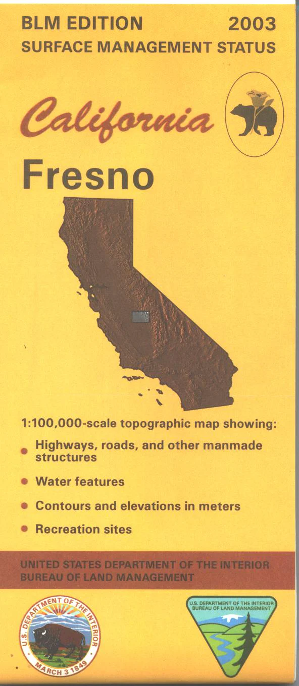
Map: Fresno CA - CA165S
Map shows Fresno and mostly private lands to the east, with a part of western Sierra and Sequoia National Forests. From Fresno travel east to Pine Flat Reservoir, then continue along the Kings River into the national forests with opportunities for camping, and fishing. North of Fresno is Millerton Lake State Recreation Area offering camping, hiking, mountain biking, fishing, and boating. Official Bureau of Land Management metric topographic map @1:100,000 scale (roughly 3/4"=1 mile), color-coded to show surface management, i.e. agency vs. private or tribal ownership. Map shows roads, water features, recreation sites,points of interest, and the township and range lines. Maps show trails, roads, and developed recreation areas such as campgrounds. Use this map for Deer Hunting in Unit A South 110 and D7 and D8. 2003
Product Information
Product Information
Shipping & Returns
Shipping & Returns
Description
Map shows Fresno and mostly private lands to the east, with a part of western Sierra and Sequoia National Forests. From Fresno travel east to Pine Flat Reservoir, then continue along the Kings River into the national forests with opportunities for camping, and fishing. North of Fresno is Millerton Lake State Recreation Area offering camping, hiking, mountain biking, fishing, and boating. Official Bureau of Land Management metric topographic map @1:100,000 scale (roughly 3/4"=1 mile), color-coded to show surface management, i.e. agency vs. private or tribal ownership. Map shows roads, water features, recreation sites,points of interest, and the township and range lines. Maps show trails, roads, and developed recreation areas such as campgrounds. Use this map for Deer Hunting in Unit A South 110 and D7 and D8. 2003


