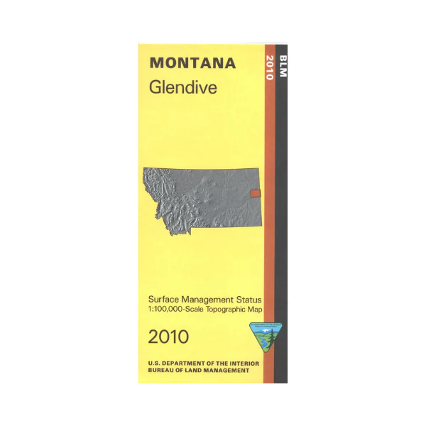
Map: Glendive MT - MT1080S
From Glendive travel north to Elk Island Wildlife Management Area on the Yellowstone River; fishing, wildlife viewing, and hand launch boating available. Fishing access sites along the river are shown on the map. South of Glendive is Makoshika State Park offering camping and hiking. Official Bureau of Land Management metric topographic map @1:100,000 scale (roughly 3/4"`1 mile), color-coded to show surface management, i.e. agency vs. private or tribal ownership. This map shows color coded public and private ownership, roads, water features, recreation sites, points of interest, and the township
and range lines. Use this map for hunting in unit 703. 2010
More Images
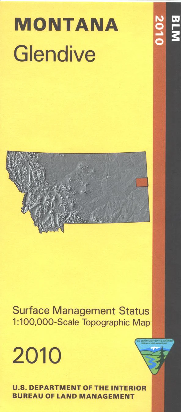
Map: Glendive MT - MT1080S
From Glendive travel north to Elk Island Wildlife Management Area on the Yellowstone River; fishing, wildlife viewing, and hand launch boating available. Fishing access sites along the river are shown on the map. South of Glendive is Makoshika State Park offering camping and hiking. Official Bureau of Land Management metric topographic map @1:100,000 scale (roughly 3/4"`1 mile), color-coded to show surface management, i.e. agency vs. private or tribal ownership. This map shows color coded public and private ownership, roads, water features, recreation sites, points of interest, and the township
and range lines. Use this map for hunting in unit 703. 2010
Product Information
Product Information
Shipping & Returns
Shipping & Returns
Description
From Glendive travel north to Elk Island Wildlife Management Area on the Yellowstone River; fishing, wildlife viewing, and hand launch boating available. Fishing access sites along the river are shown on the map. South of Glendive is Makoshika State Park offering camping and hiking. Official Bureau of Land Management metric topographic map @1:100,000 scale (roughly 3/4"`1 mile), color-coded to show surface management, i.e. agency vs. private or tribal ownership. This map shows color coded public and private ownership, roads, water features, recreation sites, points of interest, and the township
and range lines. Use this map for hunting in unit 703. 2010


