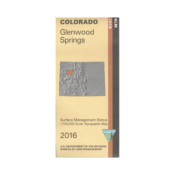
Map: Glenwood Springs CO - CO126S
The BLM quadrant maps are scaled at 1:100,000, and cover an area of about 30 x 50 miles. The White River National Forest and extensive BLM lands provide you with a wide range of recreational opportunities. Enjoy the beauty and serenity of the Flat Tops Wilderness while hiking, backpacking, or horseback riding. Camping, fishing, and boating at Rifle Gap Reservoir. Map is useful for OHV use, and Colorado Hunting Units, 22, 23, 24, 25, 32, 33, 34, 35, 42, 43, 44, and 444. Ownership status is denoted by color, and roads, lakes, streams, and other topographical features are marked on these maps. 2016
Original: $8.99
-65%$8.99
$3.15More Images
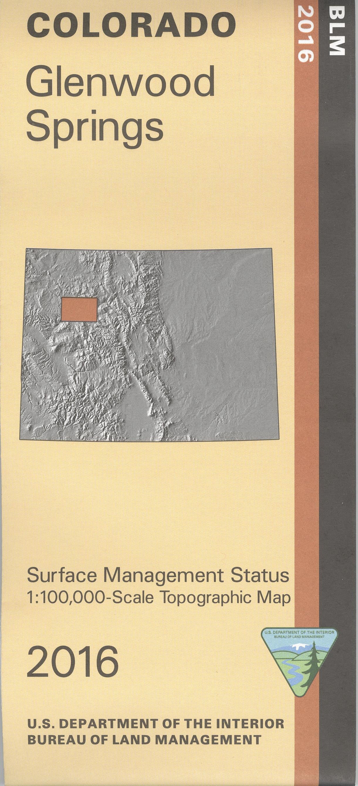
Map: Glenwood Springs CO - CO126S
The BLM quadrant maps are scaled at 1:100,000, and cover an area of about 30 x 50 miles. The White River National Forest and extensive BLM lands provide you with a wide range of recreational opportunities. Enjoy the beauty and serenity of the Flat Tops Wilderness while hiking, backpacking, or horseback riding. Camping, fishing, and boating at Rifle Gap Reservoir. Map is useful for OHV use, and Colorado Hunting Units, 22, 23, 24, 25, 32, 33, 34, 35, 42, 43, 44, and 444. Ownership status is denoted by color, and roads, lakes, streams, and other topographical features are marked on these maps. 2016
Product Information
Product Information
Shipping & Returns
Shipping & Returns
Description
The BLM quadrant maps are scaled at 1:100,000, and cover an area of about 30 x 50 miles. The White River National Forest and extensive BLM lands provide you with a wide range of recreational opportunities. Enjoy the beauty and serenity of the Flat Tops Wilderness while hiking, backpacking, or horseback riding. Camping, fishing, and boating at Rifle Gap Reservoir. Map is useful for OHV use, and Colorado Hunting Units, 22, 23, 24, 25, 32, 33, 34, 35, 42, 43, 44, and 444. Ownership status is denoted by color, and roads, lakes, streams, and other topographical features are marked on these maps. 2016


