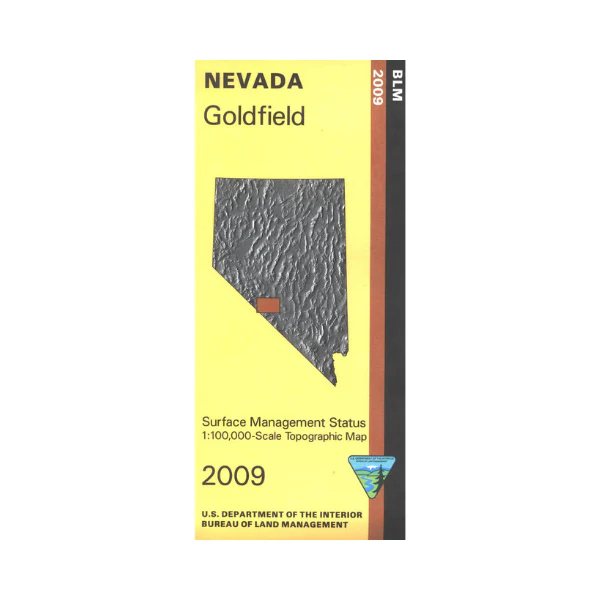
Map: Goldfield NV - NV128S
BLM Management Status maps color code who owns what in the given quadrant; private, tribal, or public. Roads and waterways and other manmade and natural features are clearly marked. Map is mostly BLM land and includes Silver Peak Range, Weepah Hills, and Montezuma Range. Map is useful for OHV use, and NV Hunting Units 211, 212, 251, and 252. 2009
More Images
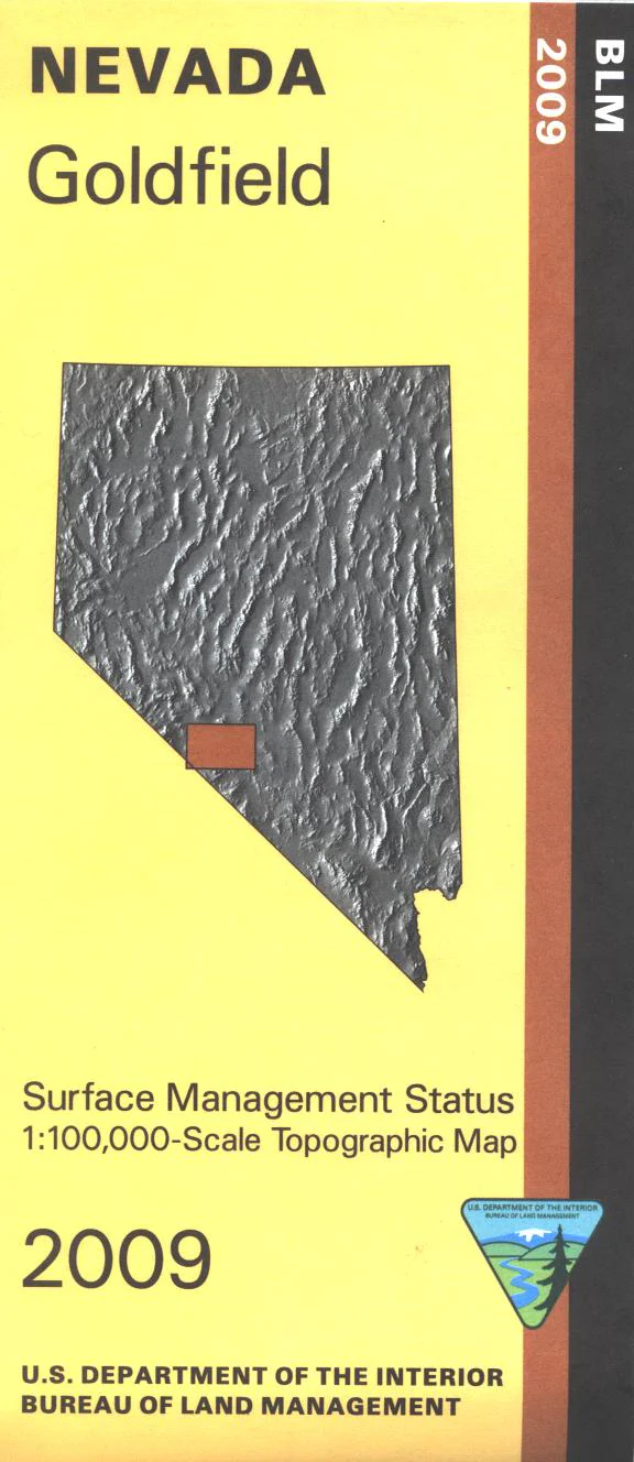
Map: Goldfield NV - NV128S
BLM Management Status maps color code who owns what in the given quadrant; private, tribal, or public. Roads and waterways and other manmade and natural features are clearly marked. Map is mostly BLM land and includes Silver Peak Range, Weepah Hills, and Montezuma Range. Map is useful for OHV use, and NV Hunting Units 211, 212, 251, and 252. 2009
Product Information
Product Information
Shipping & Returns
Shipping & Returns
Description
BLM Management Status maps color code who owns what in the given quadrant; private, tribal, or public. Roads and waterways and other manmade and natural features are clearly marked. Map is mostly BLM land and includes Silver Peak Range, Weepah Hills, and Montezuma Range. Map is useful for OHV use, and NV Hunting Units 211, 212, 251, and 252. 2009


