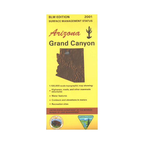
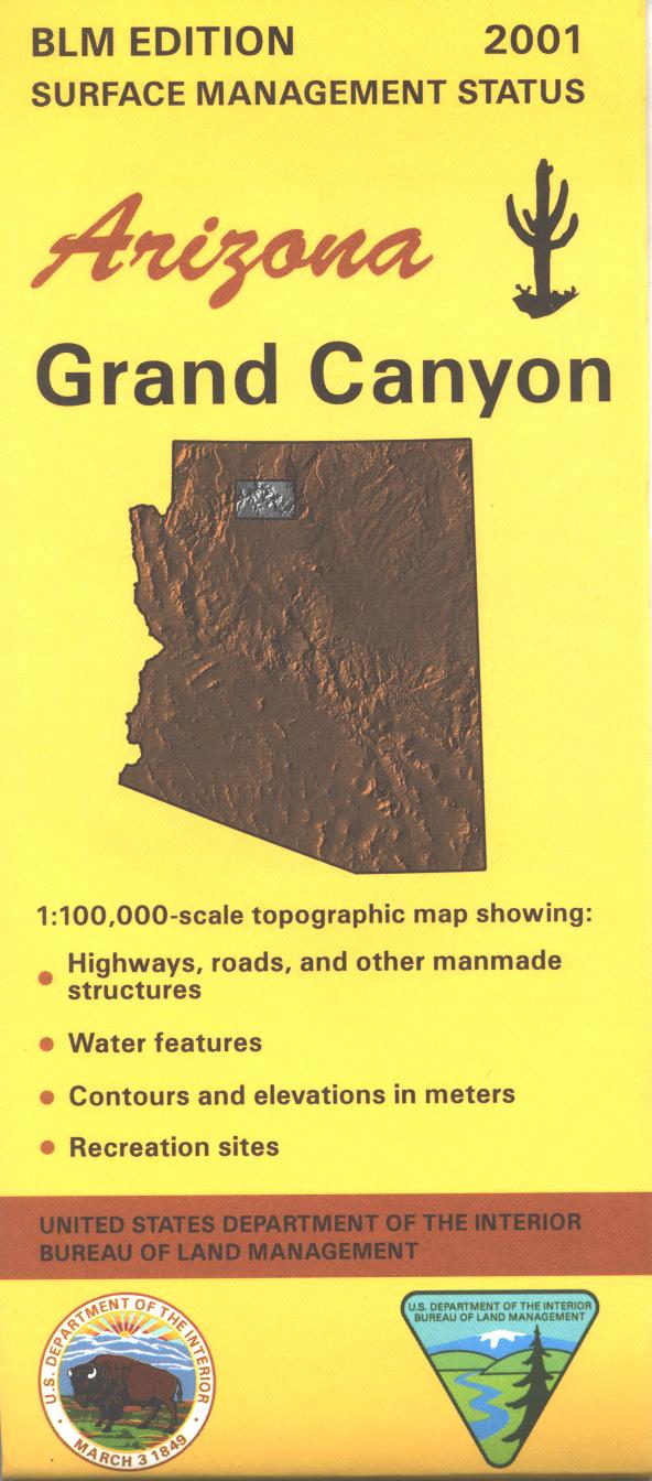
Map: Grand Canyon AZ - AZ121S
This map of the Grand Canyon differentiates between public and private land, and also among the various agencies who manage the public lands. Explore the northern Kaibab National Forest; has hiking tails, camping, backcountry hiking, and scenic diving/views. Access highway to the North Rim of the Grand Canyon is included on this map. AZ Hunting Units 9, 10, 12AE and 12AW and 13A. Hwy 18, the access road to Havasupai Indian Reservation and Hualapai Hilltop(Havasu Trail Trailhead) is on the map. Scale 1:100,000 (roughly 3/4 inch = 1 mile). 2001
Original: $8.99
-65%$8.99
$3.15More Images
Map: Grand Canyon AZ - AZ121S
This map of the Grand Canyon differentiates between public and private land, and also among the various agencies who manage the public lands. Explore the northern Kaibab National Forest; has hiking tails, camping, backcountry hiking, and scenic diving/views. Access highway to the North Rim of the Grand Canyon is included on this map. AZ Hunting Units 9, 10, 12AE and 12AW and 13A. Hwy 18, the access road to Havasupai Indian Reservation and Hualapai Hilltop(Havasu Trail Trailhead) is on the map. Scale 1:100,000 (roughly 3/4 inch = 1 mile). 2001
Product Information
Product Information
Shipping & Returns
Shipping & Returns
Description
This map of the Grand Canyon differentiates between public and private land, and also among the various agencies who manage the public lands. Explore the northern Kaibab National Forest; has hiking tails, camping, backcountry hiking, and scenic diving/views. Access highway to the North Rim of the Grand Canyon is included on this map. AZ Hunting Units 9, 10, 12AE and 12AW and 13A. Hwy 18, the access road to Havasupai Indian Reservation and Hualapai Hilltop(Havasu Trail Trailhead) is on the map. Scale 1:100,000 (roughly 3/4 inch = 1 mile). 2001