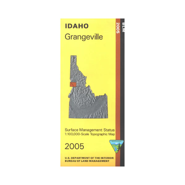
Map: Grangeville ID - ID1023S
South of Grangeville is Nez Perce National Forest with campgrounds marked. Scenic drive along the Salmon River. West of Grangeville is Hells Canyon Wilderness and Hells Canyon National Recreation Area. The Snake River divides Idaho from Oregon with the recreation area/wilderness located in Oregon in Wallowa Whitman National Forest. Camping and river access at Pittsburg Landing on the east side of Snake River in Idaho.
Official Bureau of Land Management metric topographic map @1:100,000 scale (roughly 3/4"`1 mile), color-coded to show surface
management, i.e. agency vs. private or tribal ownership. Map shows color coded public and private ownership, roads, water features, recreation sites, points of interest, and the township and range lines. Map is useful for OHV use, and ID Hunting Units 13,14,15,18. 2018
Original: $8.99
-65%$8.99
$3.15More Images
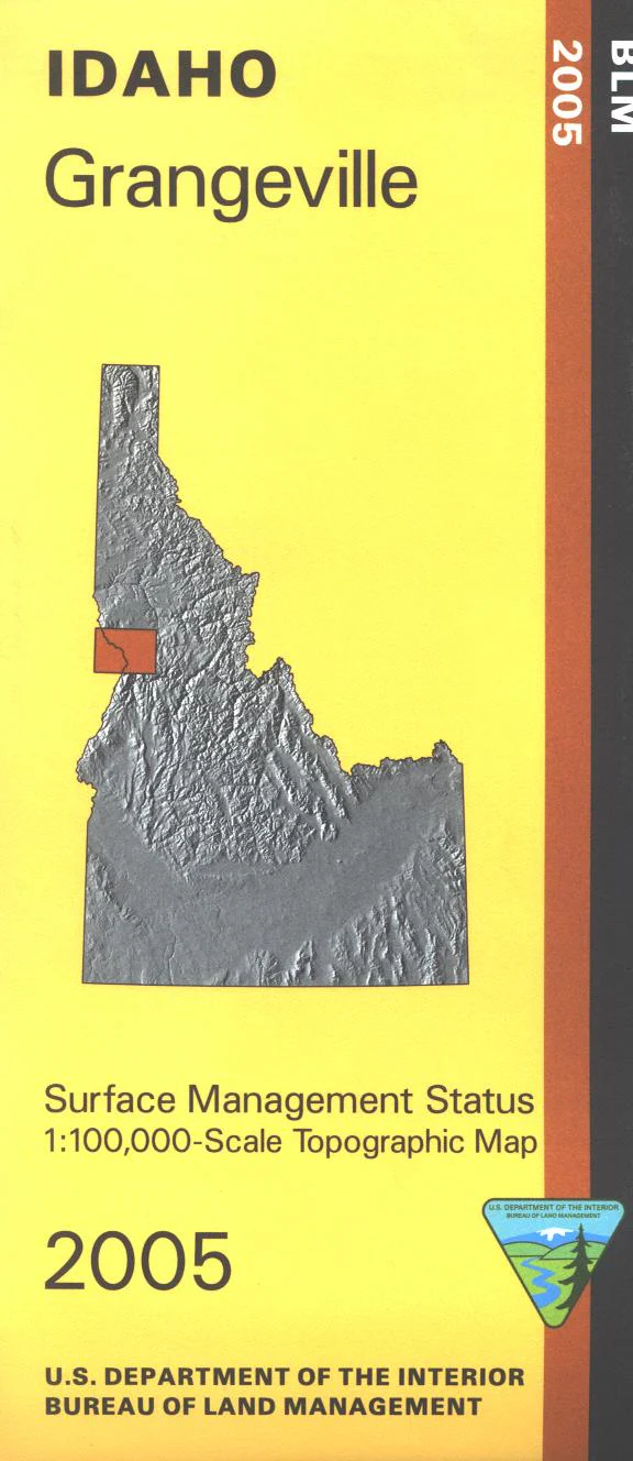
Map: Grangeville ID - ID1023S
South of Grangeville is Nez Perce National Forest with campgrounds marked. Scenic drive along the Salmon River. West of Grangeville is Hells Canyon Wilderness and Hells Canyon National Recreation Area. The Snake River divides Idaho from Oregon with the recreation area/wilderness located in Oregon in Wallowa Whitman National Forest. Camping and river access at Pittsburg Landing on the east side of Snake River in Idaho.
Official Bureau of Land Management metric topographic map @1:100,000 scale (roughly 3/4"`1 mile), color-coded to show surface
management, i.e. agency vs. private or tribal ownership. Map shows color coded public and private ownership, roads, water features, recreation sites, points of interest, and the township and range lines. Map is useful for OHV use, and ID Hunting Units 13,14,15,18. 2018
Product Information
Product Information
Shipping & Returns
Shipping & Returns
Description
South of Grangeville is Nez Perce National Forest with campgrounds marked. Scenic drive along the Salmon River. West of Grangeville is Hells Canyon Wilderness and Hells Canyon National Recreation Area. The Snake River divides Idaho from Oregon with the recreation area/wilderness located in Oregon in Wallowa Whitman National Forest. Camping and river access at Pittsburg Landing on the east side of Snake River in Idaho.
Official Bureau of Land Management metric topographic map @1:100,000 scale (roughly 3/4"`1 mile), color-coded to show surface
management, i.e. agency vs. private or tribal ownership. Map shows color coded public and private ownership, roads, water features, recreation sites, points of interest, and the township and range lines. Map is useful for OHV use, and ID Hunting Units 13,14,15,18. 2018


