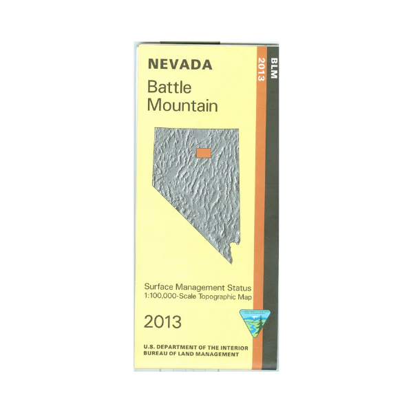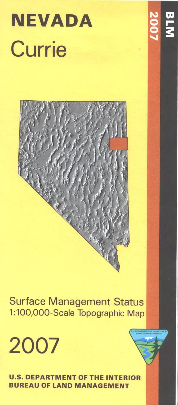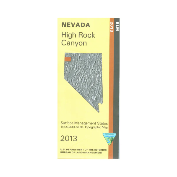
Map: High Rock Canyon NV - NV129S
BLM Management Status maps color code who owns what in the given quadrant; private, tribal, or public. Roads and waterways and other manmade and natural features are clearly marked. A great map to have when exploring the Black Desert High Rock Canyon Emigrant Trails National Conservation Area; campgrounds, viewpoints, and historic sites are marked. Map is useful for OHV use, and NV Hunting Units 12, 13, 14, 34. 2013
More Images
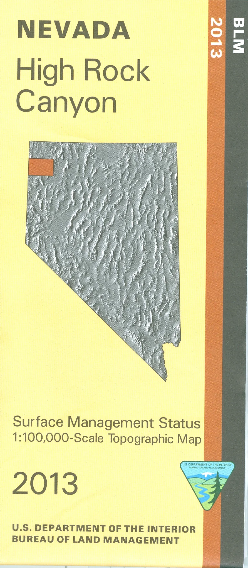
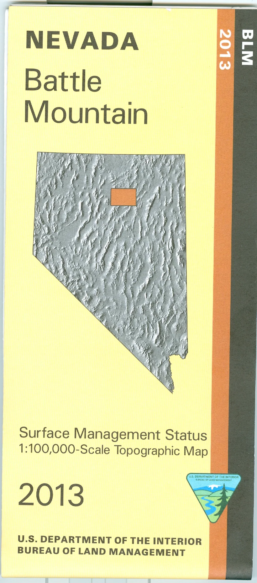
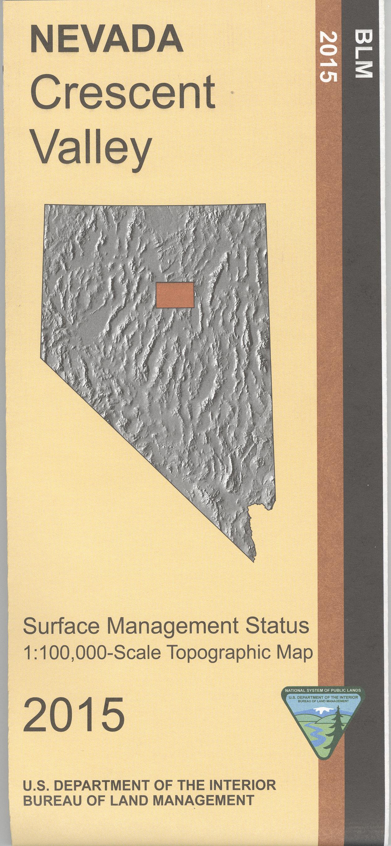
Map: High Rock Canyon NV - NV129S
BLM Management Status maps color code who owns what in the given quadrant; private, tribal, or public. Roads and waterways and other manmade and natural features are clearly marked. A great map to have when exploring the Black Desert High Rock Canyon Emigrant Trails National Conservation Area; campgrounds, viewpoints, and historic sites are marked. Map is useful for OHV use, and NV Hunting Units 12, 13, 14, 34. 2013
Product Information
Product Information
Shipping & Returns
Shipping & Returns
Description
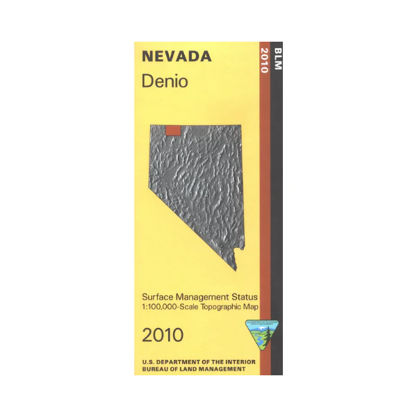
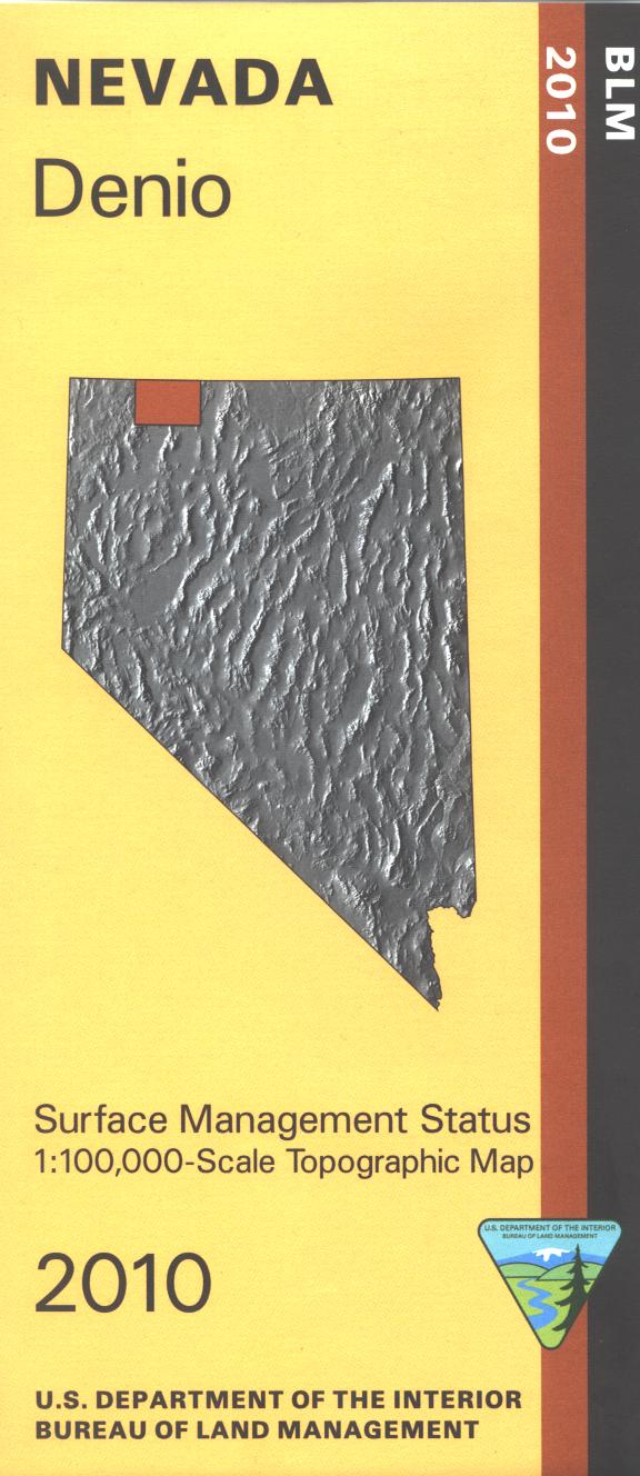
BLM Management Status maps color code who owns what in the given quadrant; private, tribal, or public. Roads and waterways and other manmade and natural features are clearly marked. A great map to have when exploring the Black Desert High Rock Canyon Emigrant Trails National Conservation Area; campgrounds, viewpoints, and historic sites are marked. Map is useful for OHV use, and NV Hunting Units 12, 13, 14, 34. 2013