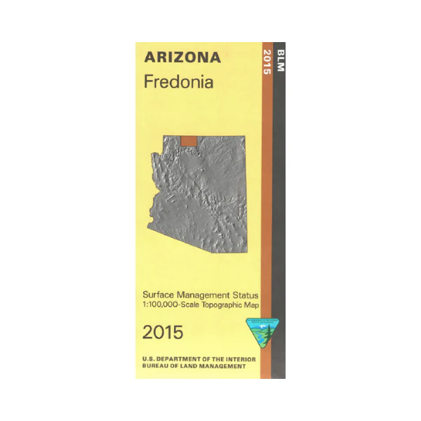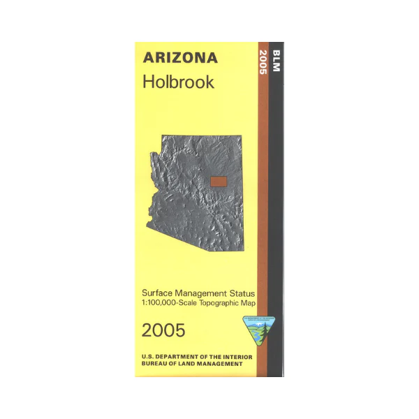
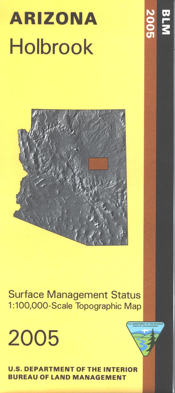
Map: Holbrook AZ - AZ122S
Differentiates between public and private land, and also among the various agencies who manage the public lands. Camping, hiking, horseback riding, OHV riding, and exploring a northern section of Apache-Sitgreaves National Forest. Use this map for AZ Hunting Units 3A, 4A, 4B, and 5A. Scale 1:100,000 (roughly 3/4 inch = 1 mile). 2005
More Images
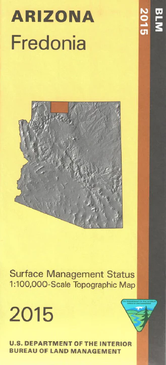
Map: Holbrook AZ - AZ122S
Differentiates between public and private land, and also among the various agencies who manage the public lands. Camping, hiking, horseback riding, OHV riding, and exploring a northern section of Apache-Sitgreaves National Forest. Use this map for AZ Hunting Units 3A, 4A, 4B, and 5A. Scale 1:100,000 (roughly 3/4 inch = 1 mile). 2005
Product Information
Product Information
Shipping & Returns
Shipping & Returns
Description
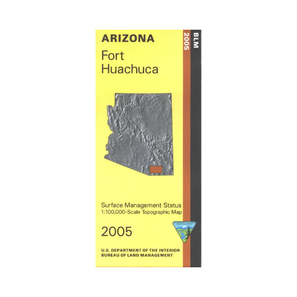
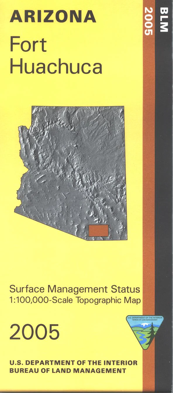
Differentiates between public and private land, and also among the various agencies who manage the public lands. Camping, hiking, horseback riding, OHV riding, and exploring a northern section of Apache-Sitgreaves National Forest. Use this map for AZ Hunting Units 3A, 4A, 4B, and 5A. Scale 1:100,000 (roughly 3/4 inch = 1 mile). 2005