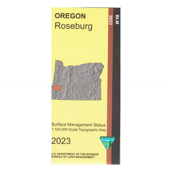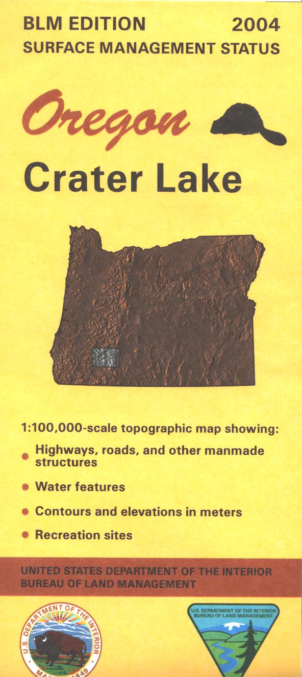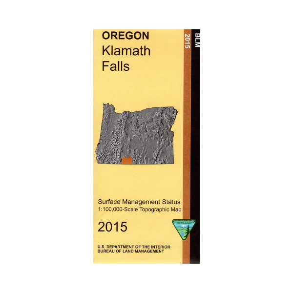
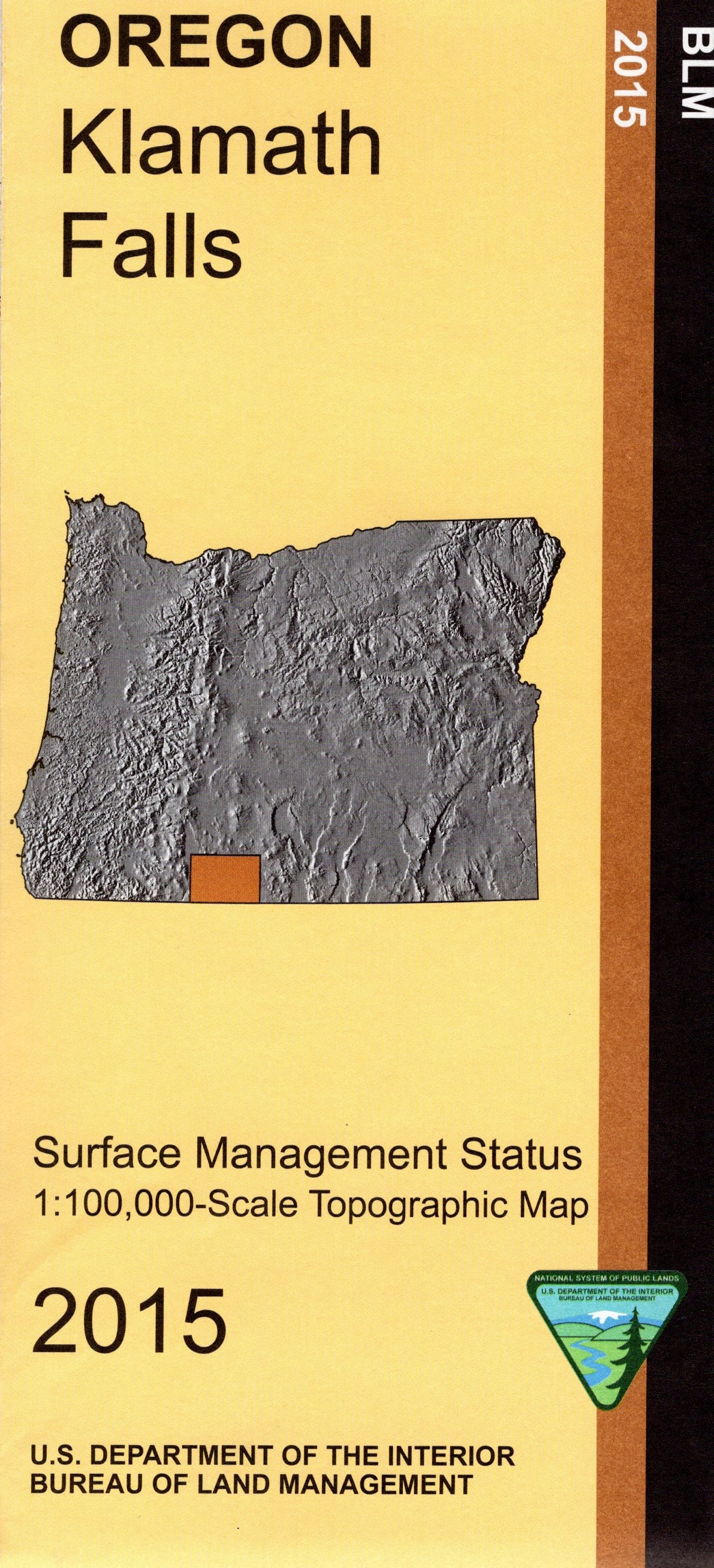
Map: Klamath Falls OR - OR030S
Map shows lands from Upper Klamath Lake east to Bly, includes sections of Winema and Fremont National Forests, scattered BLM lands east of Klamath Falls, and Gerber Reservoir with BLM lands south of the reservoir. Numerous opportunities for exploring BLM land from Gerber Reservoir south to Willow Valley Reservoir with several wildlife viewing areas and campgrounds in that area. Official Bureau of Land Management metric topographic map
@1:100,000 scale (roughly 3/4" = 1 mile), color-coded to show surface
management, i.e. agency vs. private or tribal ownership. Map shows roads, water features, recreation sites, points of interest and the township
and range lines. Map is useful for OR Hunting Units 31, 32, and 75. 2015
Original: $8.99
-65%$8.99
$3.15More Images
Map: Klamath Falls OR - OR030S
Map shows lands from Upper Klamath Lake east to Bly, includes sections of Winema and Fremont National Forests, scattered BLM lands east of Klamath Falls, and Gerber Reservoir with BLM lands south of the reservoir. Numerous opportunities for exploring BLM land from Gerber Reservoir south to Willow Valley Reservoir with several wildlife viewing areas and campgrounds in that area. Official Bureau of Land Management metric topographic map
@1:100,000 scale (roughly 3/4" = 1 mile), color-coded to show surface
management, i.e. agency vs. private or tribal ownership. Map shows roads, water features, recreation sites, points of interest and the township
and range lines. Map is useful for OR Hunting Units 31, 32, and 75. 2015
Product Information
Product Information
Shipping & Returns
Shipping & Returns
Description
Map shows lands from Upper Klamath Lake east to Bly, includes sections of Winema and Fremont National Forests, scattered BLM lands east of Klamath Falls, and Gerber Reservoir with BLM lands south of the reservoir. Numerous opportunities for exploring BLM land from Gerber Reservoir south to Willow Valley Reservoir with several wildlife viewing areas and campgrounds in that area. Official Bureau of Land Management metric topographic map
@1:100,000 scale (roughly 3/4" = 1 mile), color-coded to show surface
management, i.e. agency vs. private or tribal ownership. Map shows roads, water features, recreation sites, points of interest and the township
and range lines. Map is useful for OR Hunting Units 31, 32, and 75. 2015