✨ New Arrivals Just Dropped!Explore
Map: Klamath Falls Resource Area OR
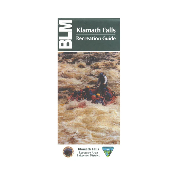
Covers the lower Klamath Basin from just north of Crater Lake National Park south to the California state line. In addition to roads, water features, township and range, and ownership, this series highlights recreational opportunities such as camping, picnicking, fishing, rockhounding, hiking, and scenic overlooks. Scale is 1/2 inch= 1 mile. 1994.
*note* this map covers less of an area than the Upper Klamath Basin Map.
*note* this map covers less of an area than the Upper Klamath Basin Map.
$11.99
Map: Klamath Falls Resource Area OR—
$11.99
More Images
Map: Klamath Falls Resource Area OR
Covers the lower Klamath Basin from just north of Crater Lake National Park south to the California state line. In addition to roads, water features, township and range, and ownership, this series highlights recreational opportunities such as camping, picnicking, fishing, rockhounding, hiking, and scenic overlooks. Scale is 1/2 inch= 1 mile. 1994.
*note* this map covers less of an area than the Upper Klamath Basin Map.
*note* this map covers less of an area than the Upper Klamath Basin Map.
Product Information
Product Information
Shipping & Returns
Shipping & Returns
Description
Covers the lower Klamath Basin from just north of Crater Lake National Park south to the California state line. In addition to roads, water features, township and range, and ownership, this series highlights recreational opportunities such as camping, picnicking, fishing, rockhounding, hiking, and scenic overlooks. Scale is 1/2 inch= 1 mile. 1994.
*note* this map covers less of an area than the Upper Klamath Basin Map.
*note* this map covers less of an area than the Upper Klamath Basin Map.


