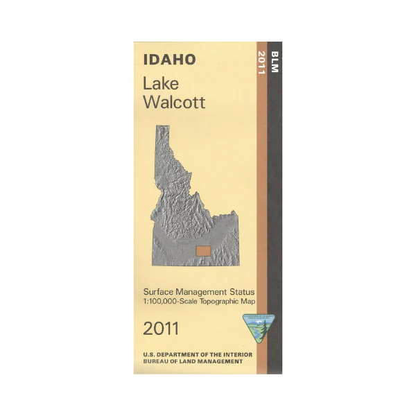
Map: Lake Walcott ID - ID1033S
Map shows BLM lands, state lands, Lake Wolcott, Snake River, and Craters of the Moon National Monument and Preserve all north or east of Burley ID. Wildlife viewing, camping, hiking, fishing, hunting, and boating at Lake Wolcott. Scenic driving around the Craters of the Moon with hiking trailheads marked. Explore BLM lands north, south, and west of the monument. For history buffs the Oregon National Historic Trail is marked. Official Bureau of Land Management metric topographic map @1:100,000 scale (roughly 3/4"`1 mile), color-coded to show Surface Management/ownership. Map shows roads, OHV/4WD roads, waterways, recreation sites, trailheads, and points of interest. Map is useful for OHV use, and ID Hunting Units 52A,53,68, and 56. 2011
More Images
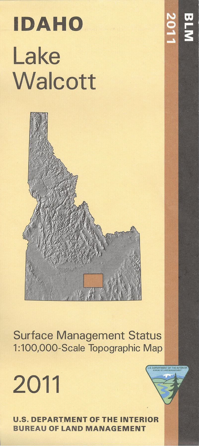
Map: Lake Walcott ID - ID1033S
Map shows BLM lands, state lands, Lake Wolcott, Snake River, and Craters of the Moon National Monument and Preserve all north or east of Burley ID. Wildlife viewing, camping, hiking, fishing, hunting, and boating at Lake Wolcott. Scenic driving around the Craters of the Moon with hiking trailheads marked. Explore BLM lands north, south, and west of the monument. For history buffs the Oregon National Historic Trail is marked. Official Bureau of Land Management metric topographic map @1:100,000 scale (roughly 3/4"`1 mile), color-coded to show Surface Management/ownership. Map shows roads, OHV/4WD roads, waterways, recreation sites, trailheads, and points of interest. Map is useful for OHV use, and ID Hunting Units 52A,53,68, and 56. 2011
Product Information
Product Information
Shipping & Returns
Shipping & Returns
Description
Map shows BLM lands, state lands, Lake Wolcott, Snake River, and Craters of the Moon National Monument and Preserve all north or east of Burley ID. Wildlife viewing, camping, hiking, fishing, hunting, and boating at Lake Wolcott. Scenic driving around the Craters of the Moon with hiking trailheads marked. Explore BLM lands north, south, and west of the monument. For history buffs the Oregon National Historic Trail is marked. Official Bureau of Land Management metric topographic map @1:100,000 scale (roughly 3/4"`1 mile), color-coded to show Surface Management/ownership. Map shows roads, OHV/4WD roads, waterways, recreation sites, trailheads, and points of interest. Map is useful for OHV use, and ID Hunting Units 52A,53,68, and 56. 2011


