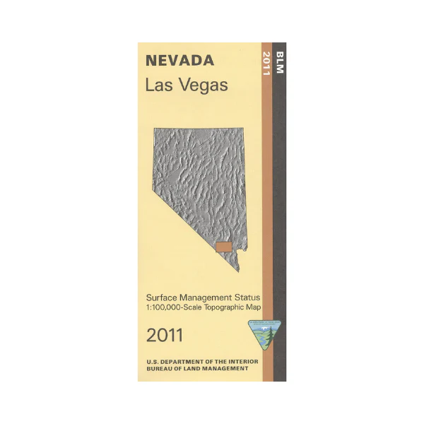
Map: Las Vegas NV Map - NV139S
BLM Management Status maps color code who owns what in the given quadrant; private, tribal, or public. Roads, waterways, recreation sites, and other manmade and natural features are clearly marked. Explore Red Rock Canyon National Conservation Area; camping, picnicking, hiking, and scenic driving in this area. Continue west of Las Vegas to Spring Mountains National Recreation Area in Humboldt Toiyabe National Forest. Popular area for camping, picnicking, scenic driving, and hiking. Use this map for hunting in Units 262, 263, 268, 284, and 286. 2011
More Images
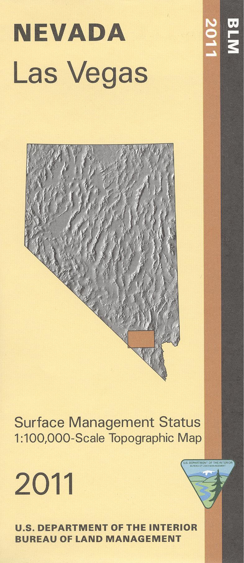
Map: Las Vegas NV Map - NV139S
BLM Management Status maps color code who owns what in the given quadrant; private, tribal, or public. Roads, waterways, recreation sites, and other manmade and natural features are clearly marked. Explore Red Rock Canyon National Conservation Area; camping, picnicking, hiking, and scenic driving in this area. Continue west of Las Vegas to Spring Mountains National Recreation Area in Humboldt Toiyabe National Forest. Popular area for camping, picnicking, scenic driving, and hiking. Use this map for hunting in Units 262, 263, 268, 284, and 286. 2011
Product Information
Product Information
Shipping & Returns
Shipping & Returns
Description
BLM Management Status maps color code who owns what in the given quadrant; private, tribal, or public. Roads, waterways, recreation sites, and other manmade and natural features are clearly marked. Explore Red Rock Canyon National Conservation Area; camping, picnicking, hiking, and scenic driving in this area. Continue west of Las Vegas to Spring Mountains National Recreation Area in Humboldt Toiyabe National Forest. Popular area for camping, picnicking, scenic driving, and hiking. Use this map for hunting in Units 262, 263, 268, 284, and 286. 2011


