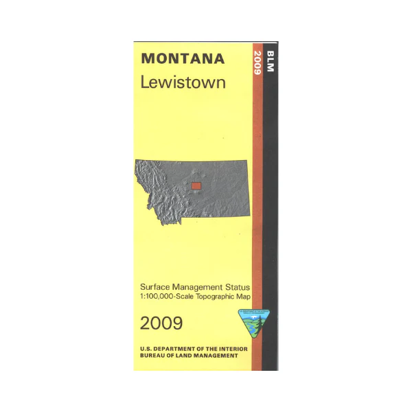
Map: Lewistown MT (MINERAL) - MT1114S
From Lewiston travel north or south to access fishing sites or hiking trails on Big Spring Creek. Camping, hiking, fishing, and hunting at Beckman Wildlife Management Area northwest of Lewiston. Explore BLM's Judith Mountains northeast of Lewiston. Official Bureau of Land Management metric topographic map
@1:100,000 scale (roughly 3/4"`1 mile), color-coded to show surface
management, i.e. agency vs. private or tribal ownership. Map shows color coded public and private ownership, roads, water features, recreation sites, points of interest, and the township
and range lines. Use this map for OHV use, and hunting Deer, Elk, and Mountain Lion in Units 411, 412, 417, 419, and 426; and for hunting Moose in Unit 496. 2009
This is a mineral management map, with an additional layer showing below-surface mineral rights.
More Images
Map: Lewistown MT (MINERAL) - MT1114S
From Lewiston travel north or south to access fishing sites or hiking trails on Big Spring Creek. Camping, hiking, fishing, and hunting at Beckman Wildlife Management Area northwest of Lewiston. Explore BLM's Judith Mountains northeast of Lewiston. Official Bureau of Land Management metric topographic map
@1:100,000 scale (roughly 3/4"`1 mile), color-coded to show surface
management, i.e. agency vs. private or tribal ownership. Map shows color coded public and private ownership, roads, water features, recreation sites, points of interest, and the township
and range lines. Use this map for OHV use, and hunting Deer, Elk, and Mountain Lion in Units 411, 412, 417, 419, and 426; and for hunting Moose in Unit 496. 2009
This is a mineral management map, with an additional layer showing below-surface mineral rights.
Product Information
Product Information
Shipping & Returns
Shipping & Returns
Description
From Lewiston travel north or south to access fishing sites or hiking trails on Big Spring Creek. Camping, hiking, fishing, and hunting at Beckman Wildlife Management Area northwest of Lewiston. Explore BLM's Judith Mountains northeast of Lewiston. Official Bureau of Land Management metric topographic map
@1:100,000 scale (roughly 3/4"`1 mile), color-coded to show surface
management, i.e. agency vs. private or tribal ownership. Map shows color coded public and private ownership, roads, water features, recreation sites, points of interest, and the township
and range lines. Use this map for OHV use, and hunting Deer, Elk, and Mountain Lion in Units 411, 412, 417, 419, and 426; and for hunting Moose in Unit 496. 2009
This is a mineral management map, with an additional layer showing below-surface mineral rights.


