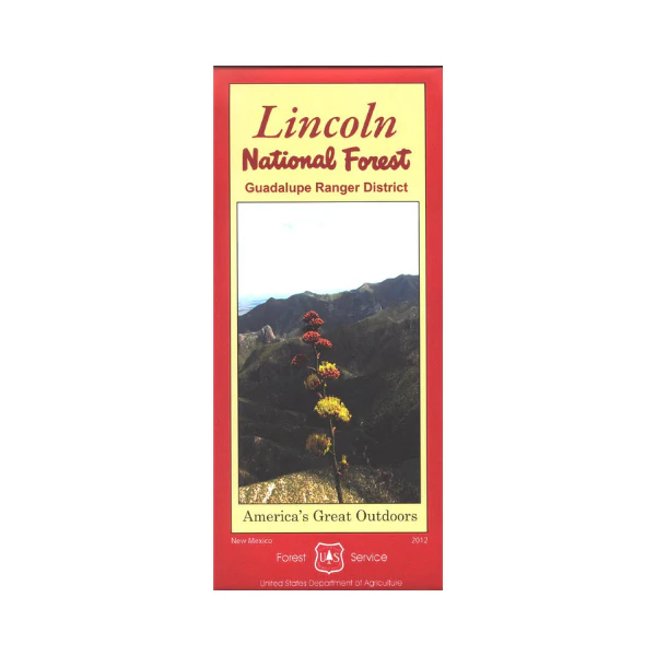
Map: Lincoln National Forest NM Guadalupe District
Official Forest Service map @1/2"=1 mile scale (no topographic detail) shows all lands, roads, trails, campgrounds and other recreation sites in the isolated Lincoln National Forest segment above Carlsbad on the Guadalupe Escarpment. This is a perfect map for hunting, scenic driving, hiking, camping, backpacking, and horseback riding both in the forest. Printed on waterproof, tear-proof, synthetic paper. 2012
More Images
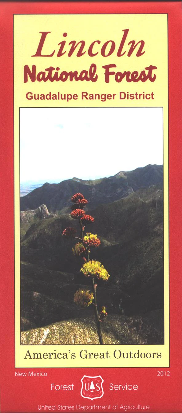
Map: Lincoln National Forest NM Guadalupe District
Official Forest Service map @1/2"=1 mile scale (no topographic detail) shows all lands, roads, trails, campgrounds and other recreation sites in the isolated Lincoln National Forest segment above Carlsbad on the Guadalupe Escarpment. This is a perfect map for hunting, scenic driving, hiking, camping, backpacking, and horseback riding both in the forest. Printed on waterproof, tear-proof, synthetic paper. 2012
Product Information
Product Information
Shipping & Returns
Shipping & Returns
Description
Official Forest Service map @1/2"=1 mile scale (no topographic detail) shows all lands, roads, trails, campgrounds and other recreation sites in the isolated Lincoln National Forest segment above Carlsbad on the Guadalupe Escarpment. This is a perfect map for hunting, scenic driving, hiking, camping, backpacking, and horseback riding both in the forest. Printed on waterproof, tear-proof, synthetic paper. 2012


