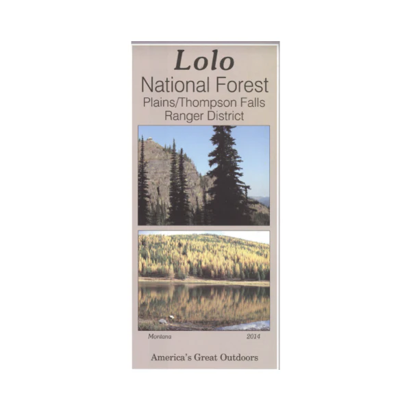
Map: Lolo National Forest MT - Plains/Thompson Falls RD
Covers the Plains/Thompson Falls Ranger District of the Lolo National Forest from Thompson Lakes south to St. Regis. Travel Hwy 200 and Hwy 135 along the Clark Fork River for scenic views, access to hiking trails and campgrounds, fishing sites, and views of falls. Explore the forest areas north of Thompson Falls, head to Fishtrap Lake for camping, canoeing, and fishing, or the Four Lakes Trailhead for hiking and fishing. Official map is scaled at 1"=1 mile. Shows all lands, water features, roads, OHV roads, trails, campgrounds and other recreation sites, and points of interest within the forest. The map includes information about motorized off-road travel (ATVs, motorcycles, etc.) Printed on synthetic waterproof material. Map is useful for MT Deer and Elk Hunting Units 121, 122, 123, 124, 200, and 202; MT Moose Hunting Units 121, 122, 125, and 126. 2014
Original: $19.99
-65%$19.99
$7.00More Images
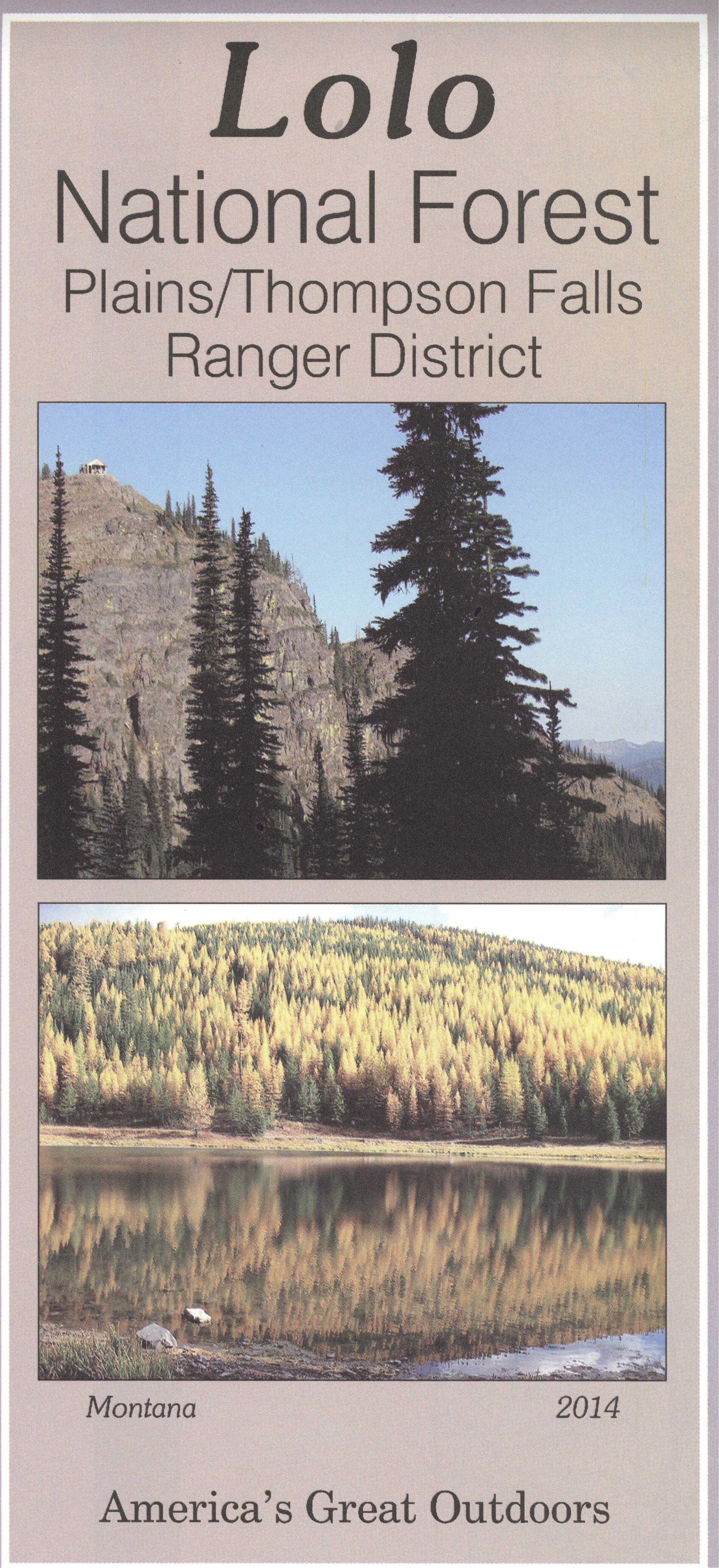
Map: Lolo National Forest MT - Plains/Thompson Falls RD
Covers the Plains/Thompson Falls Ranger District of the Lolo National Forest from Thompson Lakes south to St. Regis. Travel Hwy 200 and Hwy 135 along the Clark Fork River for scenic views, access to hiking trails and campgrounds, fishing sites, and views of falls. Explore the forest areas north of Thompson Falls, head to Fishtrap Lake for camping, canoeing, and fishing, or the Four Lakes Trailhead for hiking and fishing. Official map is scaled at 1"=1 mile. Shows all lands, water features, roads, OHV roads, trails, campgrounds and other recreation sites, and points of interest within the forest. The map includes information about motorized off-road travel (ATVs, motorcycles, etc.) Printed on synthetic waterproof material. Map is useful for MT Deer and Elk Hunting Units 121, 122, 123, 124, 200, and 202; MT Moose Hunting Units 121, 122, 125, and 126. 2014
Product Information
Product Information
Shipping & Returns
Shipping & Returns
Description
Covers the Plains/Thompson Falls Ranger District of the Lolo National Forest from Thompson Lakes south to St. Regis. Travel Hwy 200 and Hwy 135 along the Clark Fork River for scenic views, access to hiking trails and campgrounds, fishing sites, and views of falls. Explore the forest areas north of Thompson Falls, head to Fishtrap Lake for camping, canoeing, and fishing, or the Four Lakes Trailhead for hiking and fishing. Official map is scaled at 1"=1 mile. Shows all lands, water features, roads, OHV roads, trails, campgrounds and other recreation sites, and points of interest within the forest. The map includes information about motorized off-road travel (ATVs, motorcycles, etc.) Printed on synthetic waterproof material. Map is useful for MT Deer and Elk Hunting Units 121, 122, 123, 124, 200, and 202; MT Moose Hunting Units 121, 122, 125, and 126. 2014


