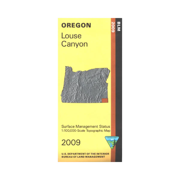
Map: Louse Canyon OR - OR035S
Map covers expansive BLM land from the Oregon/Idaho border west to Oregon Canyon Mountains and Blue Mountain west of Hwy 95; includes Owyhee Canyon and Louse Canyon with West Little Owyhee Wild and Scenic River. From McDermitt travel north on Hwy 95 to explore BLM lands in the area. Official Bureau of Land Management metric topographic map @1:100,000 scale (roughly 3/4" = 1 mile), color-coded to show surface
management, i.e. agency vs. private or tribal ownership. Map shows roads, water features, points of interest, and the township and range lines. Useful for OR Hunting Unit 68. 2009
Original: $8.99
-65%$8.99
$3.15More Images
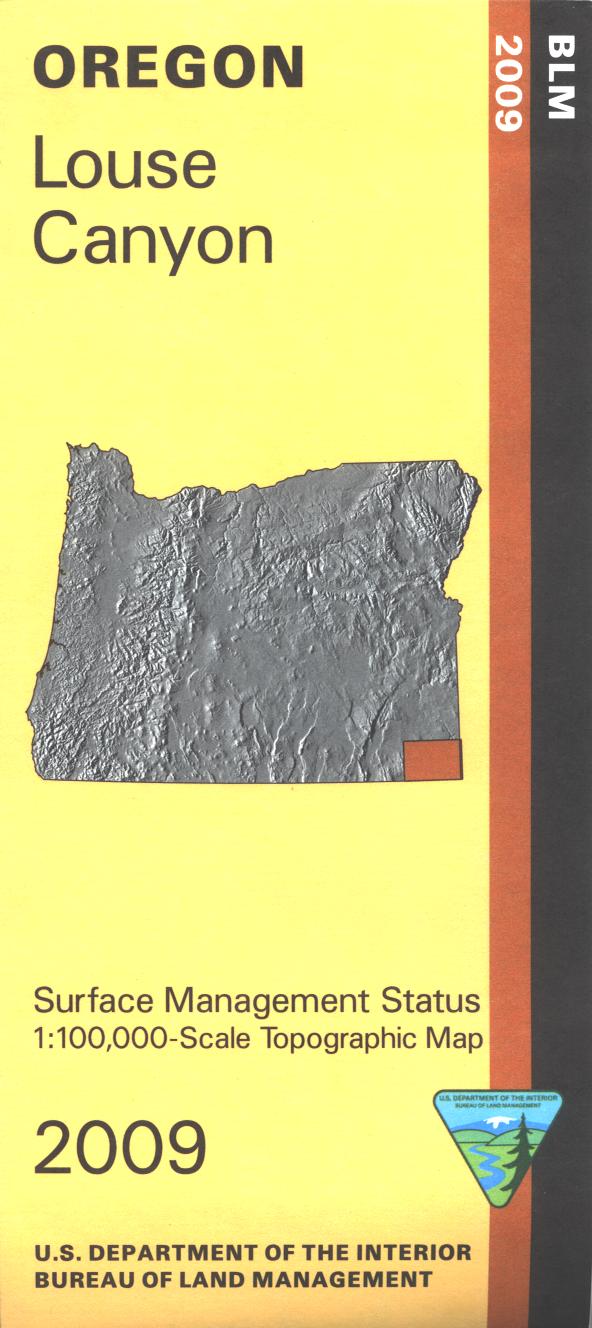
Map: Louse Canyon OR - OR035S
Map covers expansive BLM land from the Oregon/Idaho border west to Oregon Canyon Mountains and Blue Mountain west of Hwy 95; includes Owyhee Canyon and Louse Canyon with West Little Owyhee Wild and Scenic River. From McDermitt travel north on Hwy 95 to explore BLM lands in the area. Official Bureau of Land Management metric topographic map @1:100,000 scale (roughly 3/4" = 1 mile), color-coded to show surface
management, i.e. agency vs. private or tribal ownership. Map shows roads, water features, points of interest, and the township and range lines. Useful for OR Hunting Unit 68. 2009
Product Information
Product Information
Shipping & Returns
Shipping & Returns
Description
Map covers expansive BLM land from the Oregon/Idaho border west to Oregon Canyon Mountains and Blue Mountain west of Hwy 95; includes Owyhee Canyon and Louse Canyon with West Little Owyhee Wild and Scenic River. From McDermitt travel north on Hwy 95 to explore BLM lands in the area. Official Bureau of Land Management metric topographic map @1:100,000 scale (roughly 3/4" = 1 mile), color-coded to show surface
management, i.e. agency vs. private or tribal ownership. Map shows roads, water features, points of interest, and the township and range lines. Useful for OR Hunting Unit 68. 2009


