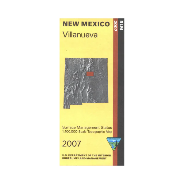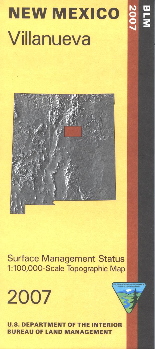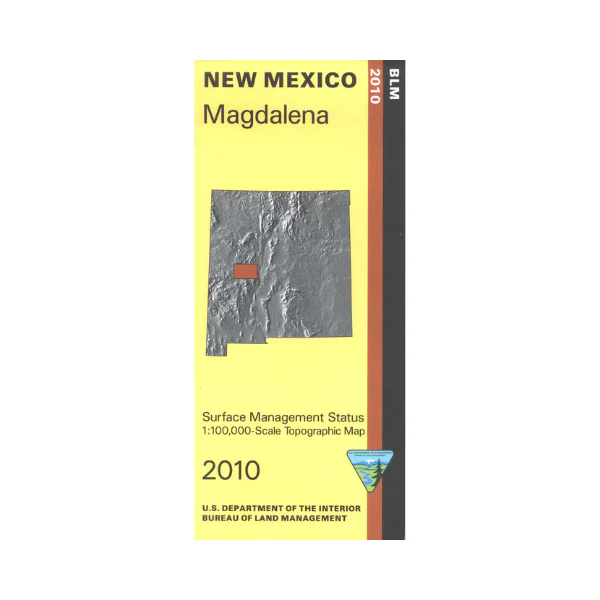
Map: Magdalena NM - NM036S
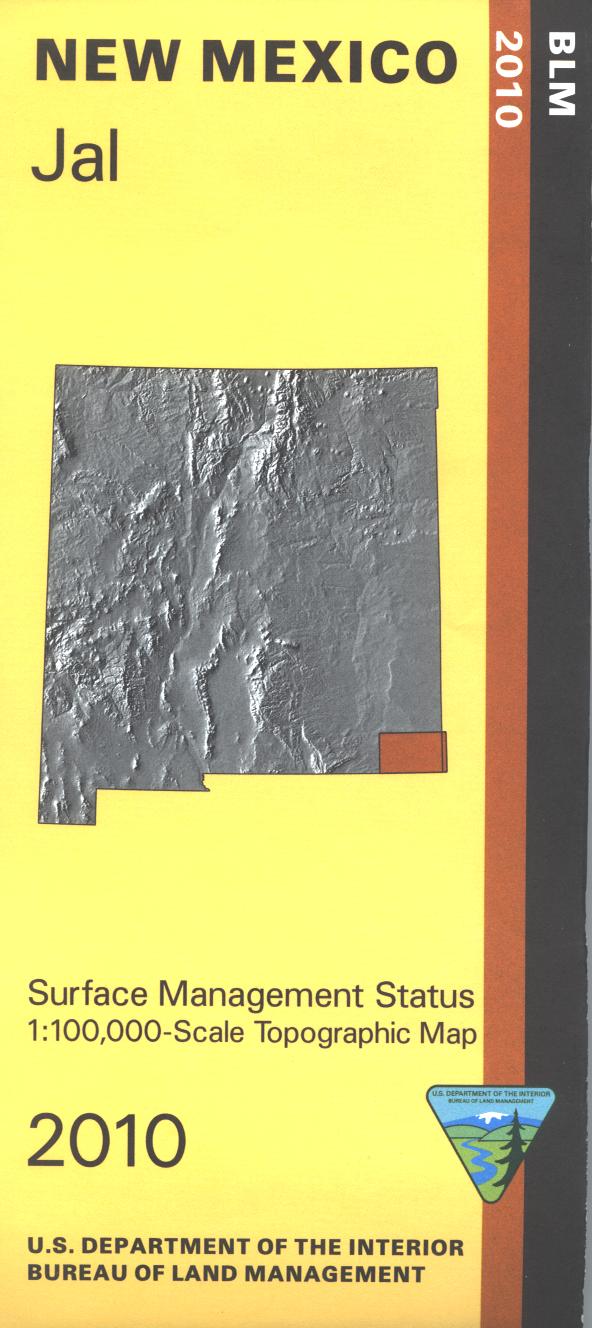
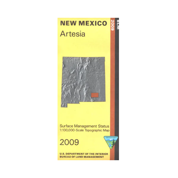
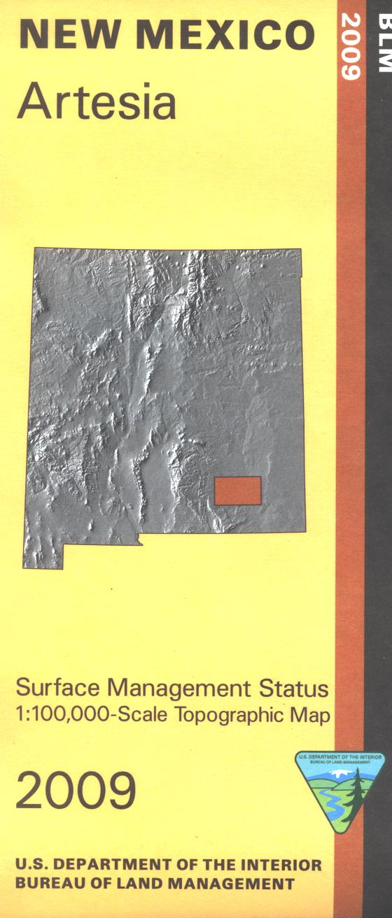
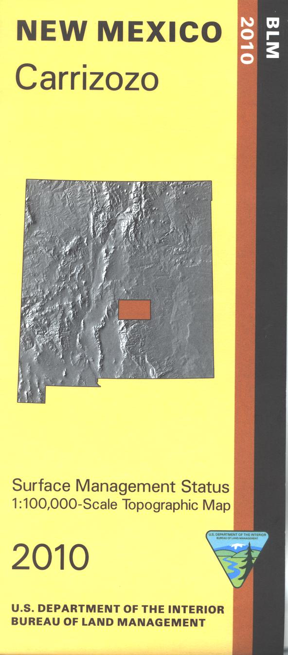
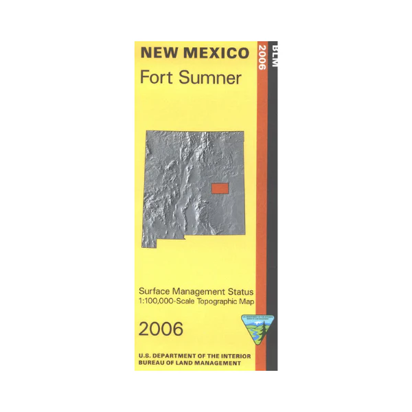
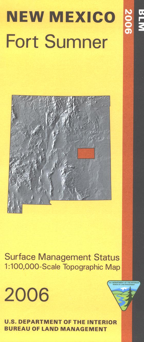
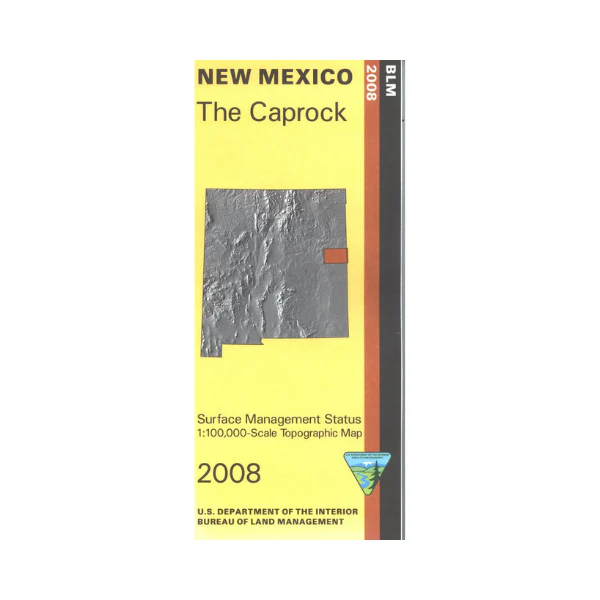
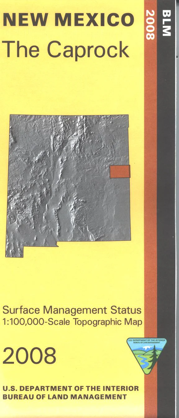
Official Bureau of Land Management topographic maps @1:100,000 metric scale (roughly 3/4" = 1 mile), are color-coded to show federally-managed public lands; plus state, private, or tribal lands, military withdrawals, roads and trails, lakes, rivers and streams, and developed recreation areas. This is a great map to have while stalking game in hunting Units 13, 16E, and 17. Official Bureau of Land Management topographic maps @1:100,000 metric scale (roughly 3/4" = 1 mile), are color-coded to show federally-managed public lands; plus state, private, or tribal lands, military withdrawals, roads and trails, lakes, rivers and streams, and developed recreation areas. This is a great map to have while stalking game in Hunting Units 13, 16E and 17, fishing (where available), wildlife watching, hiking, backpacking, mountain biking, camping, or OHV and ATV riding. Includes roads and lands in Socorro and Catron Counties and the northern portions of the Maggdalena Ranger District in Cibola National Forest. Scenic driving Hwy 60 west of Magdalena; stop and visit the National Radio Astronomy Observatory/VLA. 2010
Original: $8.99
-65%$8.99
$3.15More Images
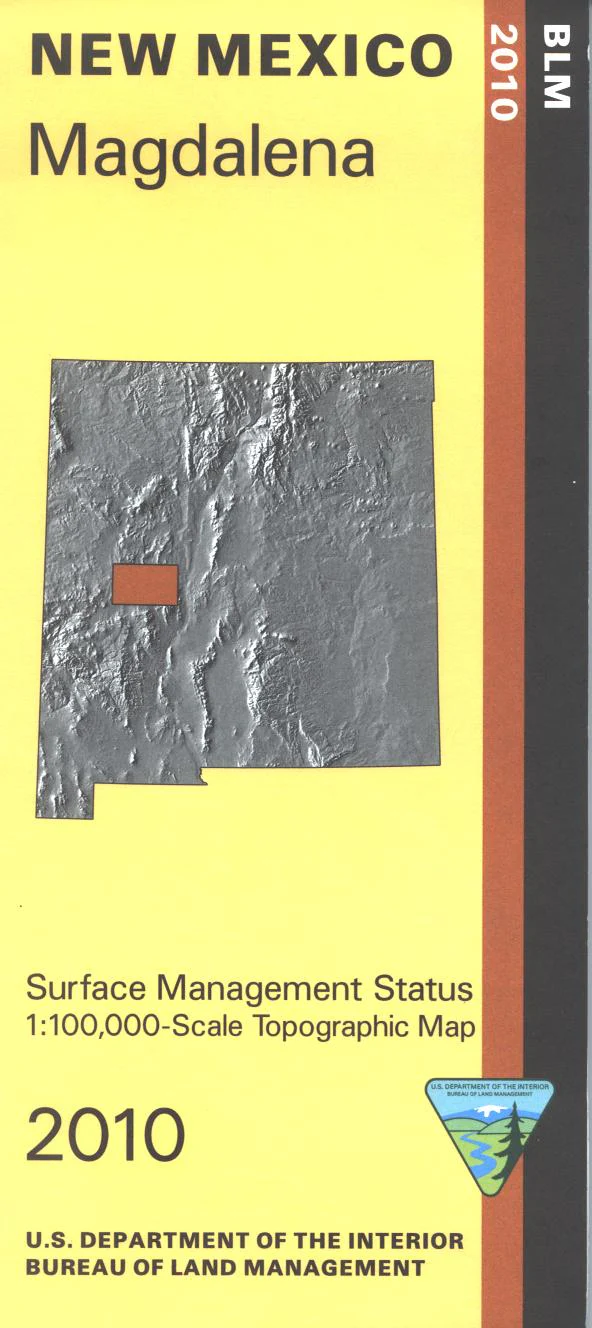
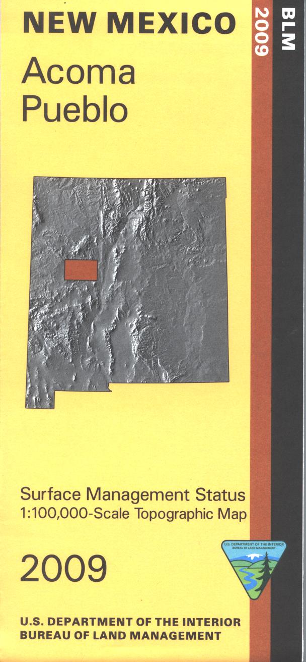
Map: Magdalena NM - NM036S
Official Bureau of Land Management topographic maps @1:100,000 metric scale (roughly 3/4" = 1 mile), are color-coded to show federally-managed public lands; plus state, private, or tribal lands, military withdrawals, roads and trails, lakes, rivers and streams, and developed recreation areas. This is a great map to have while stalking game in hunting Units 13, 16E, and 17. Official Bureau of Land Management topographic maps @1:100,000 metric scale (roughly 3/4" = 1 mile), are color-coded to show federally-managed public lands; plus state, private, or tribal lands, military withdrawals, roads and trails, lakes, rivers and streams, and developed recreation areas. This is a great map to have while stalking game in Hunting Units 13, 16E and 17, fishing (where available), wildlife watching, hiking, backpacking, mountain biking, camping, or OHV and ATV riding. Includes roads and lands in Socorro and Catron Counties and the northern portions of the Maggdalena Ranger District in Cibola National Forest. Scenic driving Hwy 60 west of Magdalena; stop and visit the National Radio Astronomy Observatory/VLA. 2010
Product Information
Product Information
Shipping & Returns
Shipping & Returns
Description
Official Bureau of Land Management topographic maps @1:100,000 metric scale (roughly 3/4" = 1 mile), are color-coded to show federally-managed public lands; plus state, private, or tribal lands, military withdrawals, roads and trails, lakes, rivers and streams, and developed recreation areas. This is a great map to have while stalking game in hunting Units 13, 16E, and 17. Official Bureau of Land Management topographic maps @1:100,000 metric scale (roughly 3/4" = 1 mile), are color-coded to show federally-managed public lands; plus state, private, or tribal lands, military withdrawals, roads and trails, lakes, rivers and streams, and developed recreation areas. This is a great map to have while stalking game in Hunting Units 13, 16E and 17, fishing (where available), wildlife watching, hiking, backpacking, mountain biking, camping, or OHV and ATV riding. Includes roads and lands in Socorro and Catron Counties and the northern portions of the Maggdalena Ranger District in Cibola National Forest. Scenic driving Hwy 60 west of Magdalena; stop and visit the National Radio Astronomy Observatory/VLA. 2010