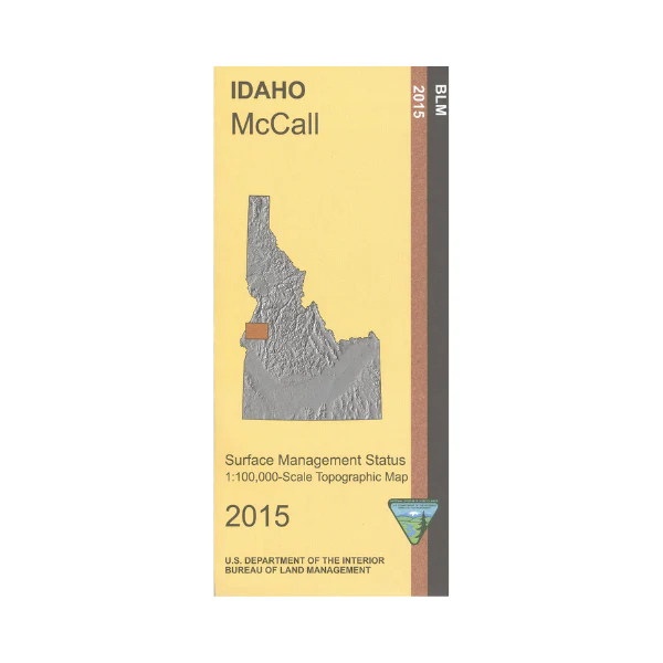
Map: McCall ID - ID1040S
Map show lands from Long Valley west to Brownlee Reservoir/Snake River. Map includes sections of Payette National Forest north or west of McCall, Payette Lake, Lake Cascade, Cecil D Andrus Wildlife Management Area, and part of the Snake River. From Council travel north, east, or west to explore the national forest with opportunities for camping, hiking, mountain biking, all types of boating, and fishing. Enjoy scenic driving highways or forest roads watching for wildlife and scenic views. Official Bureau of Land Management metric topographic map @1:100,000 scale (roughly 3/4"`1 mile), color-coded to show surface
management, i.e. agency vs. private or tribal ownership. Map shows color coded public and private ownership, roads, water features, campgrounds, other recreation sites, points of interest and the township and range lines. ID Hunting Units 22,23,24,31,32A,and 32. 2015
Original: $8.99
-65%$8.99
$3.15More Images
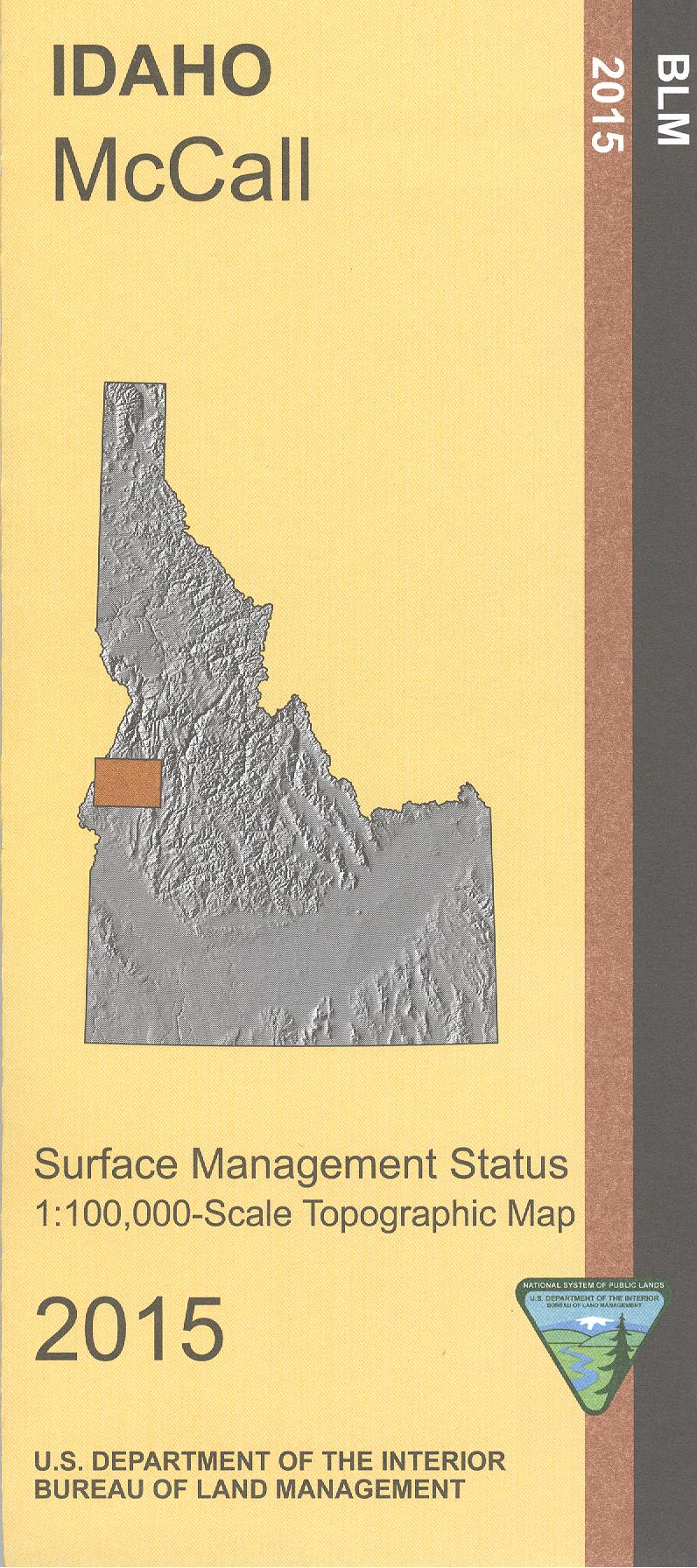
Map: McCall ID - ID1040S
Map show lands from Long Valley west to Brownlee Reservoir/Snake River. Map includes sections of Payette National Forest north or west of McCall, Payette Lake, Lake Cascade, Cecil D Andrus Wildlife Management Area, and part of the Snake River. From Council travel north, east, or west to explore the national forest with opportunities for camping, hiking, mountain biking, all types of boating, and fishing. Enjoy scenic driving highways or forest roads watching for wildlife and scenic views. Official Bureau of Land Management metric topographic map @1:100,000 scale (roughly 3/4"`1 mile), color-coded to show surface
management, i.e. agency vs. private or tribal ownership. Map shows color coded public and private ownership, roads, water features, campgrounds, other recreation sites, points of interest and the township and range lines. ID Hunting Units 22,23,24,31,32A,and 32. 2015
Product Information
Product Information
Shipping & Returns
Shipping & Returns
Description
Map show lands from Long Valley west to Brownlee Reservoir/Snake River. Map includes sections of Payette National Forest north or west of McCall, Payette Lake, Lake Cascade, Cecil D Andrus Wildlife Management Area, and part of the Snake River. From Council travel north, east, or west to explore the national forest with opportunities for camping, hiking, mountain biking, all types of boating, and fishing. Enjoy scenic driving highways or forest roads watching for wildlife and scenic views. Official Bureau of Land Management metric topographic map @1:100,000 scale (roughly 3/4"`1 mile), color-coded to show surface
management, i.e. agency vs. private or tribal ownership. Map shows color coded public and private ownership, roads, water features, campgrounds, other recreation sites, points of interest and the township and range lines. ID Hunting Units 22,23,24,31,32A,and 32. 2015


