
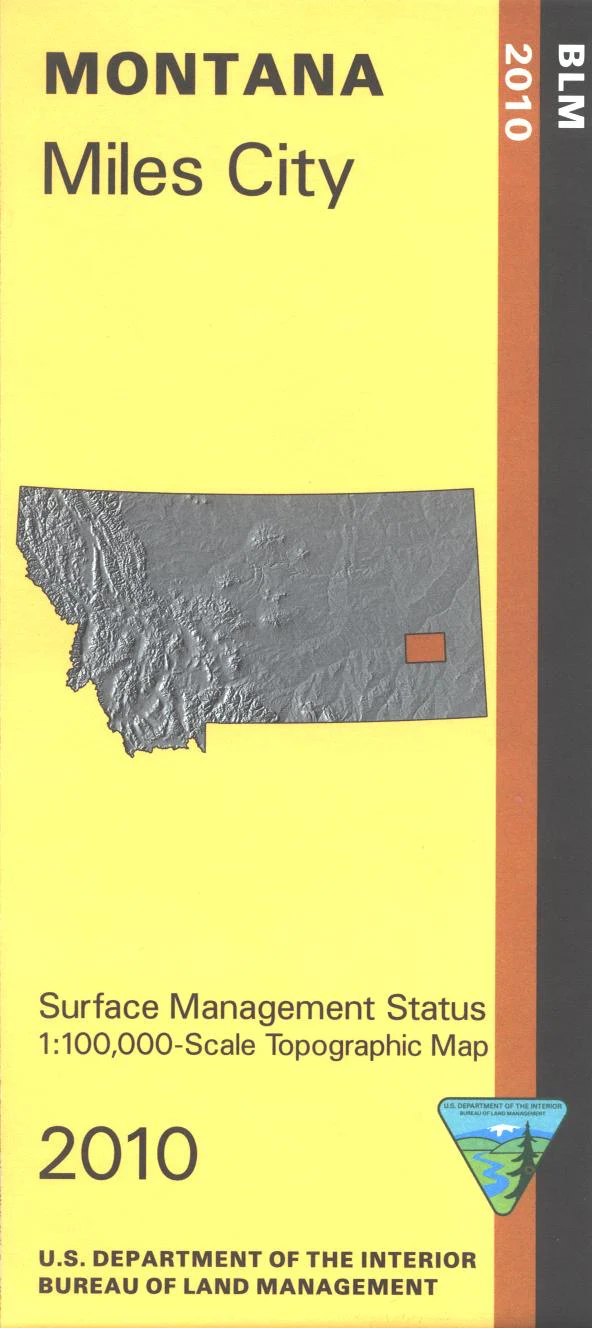
Map: Miles City MT - MT1129S
From Miles City travel north to fishing sites on the Yellowstone River, with hiking and fishing at Pirogue Island State Park. Travel south to the Tongue River to the fishing site which also has a camping area. Explore BLM lands shown on the map, a large section is south of Miles City. Official Bureau of Land Management metric topographic map @1:100,000 scale (roughly 3/4"`1 mile), color-coded to show surface management, i.e. agency vs. private or tribal ownership. Map shows color coded public and private ownership, roads, water features, recreation sites, points of interest, and the township and range lines. Use this map for OHV use, and hunting Deer and Elk in Units 701, 702, 704, and 705. 2010
More Images
Map: Miles City MT - MT1129S
From Miles City travel north to fishing sites on the Yellowstone River, with hiking and fishing at Pirogue Island State Park. Travel south to the Tongue River to the fishing site which also has a camping area. Explore BLM lands shown on the map, a large section is south of Miles City. Official Bureau of Land Management metric topographic map @1:100,000 scale (roughly 3/4"`1 mile), color-coded to show surface management, i.e. agency vs. private or tribal ownership. Map shows color coded public and private ownership, roads, water features, recreation sites, points of interest, and the township and range lines. Use this map for OHV use, and hunting Deer and Elk in Units 701, 702, 704, and 705. 2010
Product Information
Product Information
Shipping & Returns
Shipping & Returns
Description
From Miles City travel north to fishing sites on the Yellowstone River, with hiking and fishing at Pirogue Island State Park. Travel south to the Tongue River to the fishing site which also has a camping area. Explore BLM lands shown on the map, a large section is south of Miles City. Official Bureau of Land Management metric topographic map @1:100,000 scale (roughly 3/4"`1 mile), color-coded to show surface management, i.e. agency vs. private or tribal ownership. Map shows color coded public and private ownership, roads, water features, recreation sites, points of interest, and the township and range lines. Use this map for OHV use, and hunting Deer and Elk in Units 701, 702, 704, and 705. 2010


