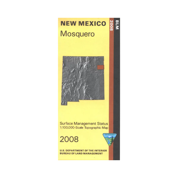
Map: Mosquero NM - NM038S
Official Bureau of Land Management topographic maps @1:100,000 metric scale (roughly 3/4" = 1 mile), are color-coded to show federally-managed public lands; plus state, private, or tribal lands, military withdrawals, roads and trails, lakes, rivers and streams, and developed recreation areas. NOTE: this portion of Eastern New Mexico is almost exclusively private or State Trust lands (which require a hunting license or Day Use permit for recreational use). This is a great map to have while stalking game in Hunting Units 41, 42, wildlife watching, or OHV and ATV riding on County Roads. Includes roads and lands in Harding, Union, Quay, San Miguel Counties. 2008
More Images
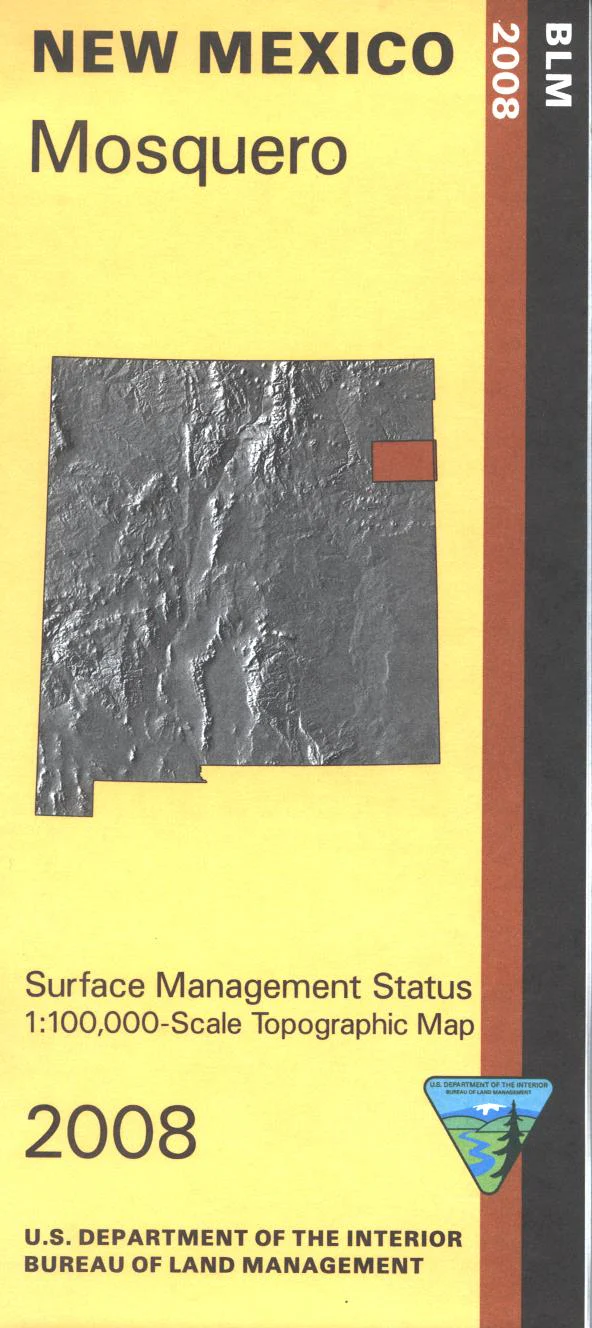
Map: Mosquero NM - NM038S
Official Bureau of Land Management topographic maps @1:100,000 metric scale (roughly 3/4" = 1 mile), are color-coded to show federally-managed public lands; plus state, private, or tribal lands, military withdrawals, roads and trails, lakes, rivers and streams, and developed recreation areas. NOTE: this portion of Eastern New Mexico is almost exclusively private or State Trust lands (which require a hunting license or Day Use permit for recreational use). This is a great map to have while stalking game in Hunting Units 41, 42, wildlife watching, or OHV and ATV riding on County Roads. Includes roads and lands in Harding, Union, Quay, San Miguel Counties. 2008
Product Information
Product Information
Shipping & Returns
Shipping & Returns
Description
Official Bureau of Land Management topographic maps @1:100,000 metric scale (roughly 3/4" = 1 mile), are color-coded to show federally-managed public lands; plus state, private, or tribal lands, military withdrawals, roads and trails, lakes, rivers and streams, and developed recreation areas. NOTE: this portion of Eastern New Mexico is almost exclusively private or State Trust lands (which require a hunting license or Day Use permit for recreational use). This is a great map to have while stalking game in Hunting Units 41, 42, wildlife watching, or OHV and ATV riding on County Roads. Includes roads and lands in Harding, Union, Quay, San Miguel Counties. 2008


