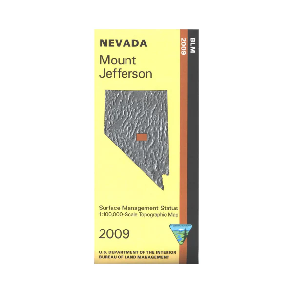
Map: Mount Jefferson NV - NV144S
BLM Management Status maps color code who owns what in the given quadrant; private, tribal, or public. Roads and waterways and other manmade and natural features are clearly marked. Explore the Toquima Range, the Monitor Range, and the Hot Creek Range in Humboldt Toiyabe National Forest. Camping, hiking, and horseback riding available, trailheads are marked. Also explore the BLM lands adjacent to the forest lands. Map is useful for OHV use, and NV Hunting Units 161, 162, 163, 164. Map is mostly forest lands and BLM land. 2009
More Images
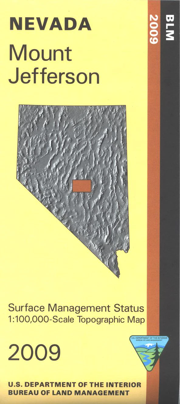
Map: Mount Jefferson NV - NV144S
BLM Management Status maps color code who owns what in the given quadrant; private, tribal, or public. Roads and waterways and other manmade and natural features are clearly marked. Explore the Toquima Range, the Monitor Range, and the Hot Creek Range in Humboldt Toiyabe National Forest. Camping, hiking, and horseback riding available, trailheads are marked. Also explore the BLM lands adjacent to the forest lands. Map is useful for OHV use, and NV Hunting Units 161, 162, 163, 164. Map is mostly forest lands and BLM land. 2009
Product Information
Product Information
Shipping & Returns
Shipping & Returns
Description
BLM Management Status maps color code who owns what in the given quadrant; private, tribal, or public. Roads and waterways and other manmade and natural features are clearly marked. Explore the Toquima Range, the Monitor Range, and the Hot Creek Range in Humboldt Toiyabe National Forest. Camping, hiking, and horseback riding available, trailheads are marked. Also explore the BLM lands adjacent to the forest lands. Map is useful for OHV use, and NV Hunting Units 161, 162, 163, 164. Map is mostly forest lands and BLM land. 2009


