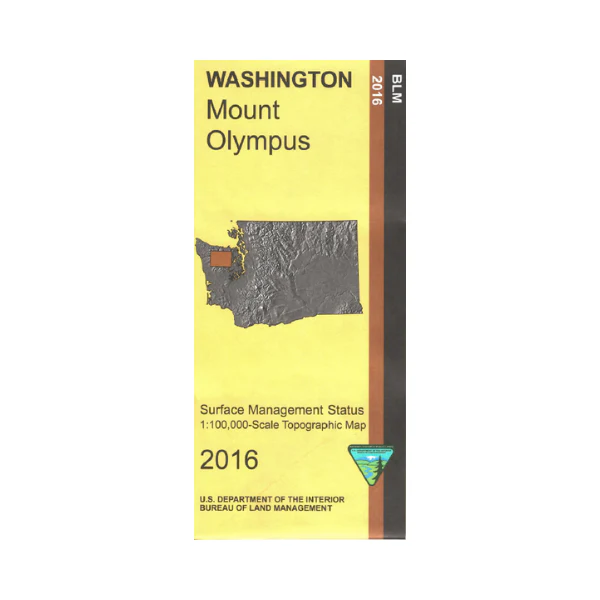
Map: Mount Olympus WA - WA020S
This Bureau of Land Management map covers mostly Olympic National Park, sections of Olympic National Forest and Buckhorn Wilderness east of the national park, and south to Colonel Bob Wilderness from Hurricane Ridge. Explore on foot the trails from Hurricane Ridge Visitor Center, reached by a wonderful scenic drive up the ridge from Port Angeles with scenic views of Mount Olympus along the way. Watch for the deer and marmots on the trails. Explore the Quinault Rainforest by driving the Quinault River Road to the Graves Creek Campground and trailhead. This BLM map shows color-coded federal, state, and private lands, roads, water features, recreation sites, points of interest, place names, county boundaries, township and range lines. Use this map for hunting in WA Units 607, 615, and 621.
Scale is 1:100,000, 3/4 inch to 1 mile. 2016
Original: $8.99
-65%$8.99
$3.15More Images
Map: Mount Olympus WA - WA020S
This Bureau of Land Management map covers mostly Olympic National Park, sections of Olympic National Forest and Buckhorn Wilderness east of the national park, and south to Colonel Bob Wilderness from Hurricane Ridge. Explore on foot the trails from Hurricane Ridge Visitor Center, reached by a wonderful scenic drive up the ridge from Port Angeles with scenic views of Mount Olympus along the way. Watch for the deer and marmots on the trails. Explore the Quinault Rainforest by driving the Quinault River Road to the Graves Creek Campground and trailhead. This BLM map shows color-coded federal, state, and private lands, roads, water features, recreation sites, points of interest, place names, county boundaries, township and range lines. Use this map for hunting in WA Units 607, 615, and 621.
Scale is 1:100,000, 3/4 inch to 1 mile. 2016
Product Information
Product Information
Shipping & Returns
Shipping & Returns
Description
This Bureau of Land Management map covers mostly Olympic National Park, sections of Olympic National Forest and Buckhorn Wilderness east of the national park, and south to Colonel Bob Wilderness from Hurricane Ridge. Explore on foot the trails from Hurricane Ridge Visitor Center, reached by a wonderful scenic drive up the ridge from Port Angeles with scenic views of Mount Olympus along the way. Watch for the deer and marmots on the trails. Explore the Quinault Rainforest by driving the Quinault River Road to the Graves Creek Campground and trailhead. This BLM map shows color-coded federal, state, and private lands, roads, water features, recreation sites, points of interest, place names, county boundaries, township and range lines. Use this map for hunting in WA Units 607, 615, and 621.
Scale is 1:100,000, 3/4 inch to 1 mile. 2016


