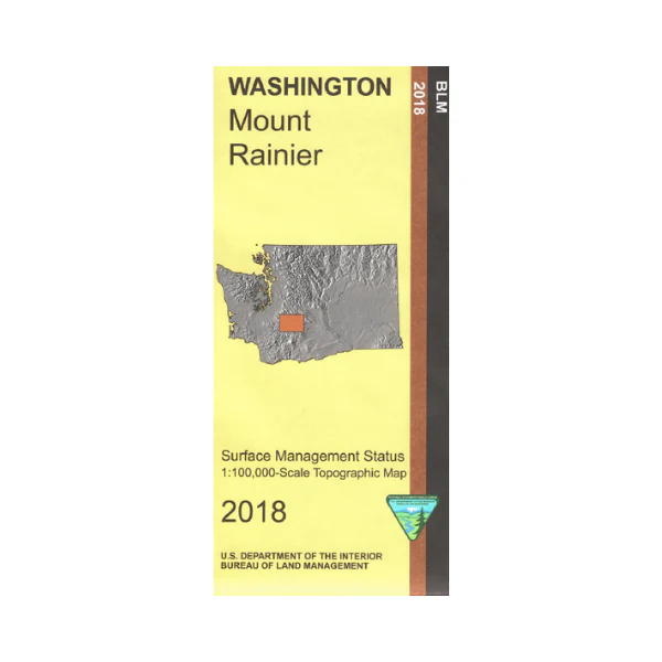
Map: Mount Rainier WA - WA021S
This Bureau of Land Management map shows much of Mount Rainier National Park, section of Mount Baker Snoqualmie National Forest, small section of Gifford Pinchot NF, Goat Rocks Wilderness, William O Douglas Wilderness, and a section of Wenatchee National Forest east of the wildernesses. From Randle or Packwood travel north to Mount Rainier NP to enjoy scenic driving, camping, and hiking; or visit Bumping Lake or Rimrock Lake for camping, boating, and fishing opportunities. Explore the forest roads or hike/backpack and horseback ride in the wilderness, trails are shown. Shows color-coded federal, state, and private lands, roads, water features, recreation sites, points of interest, place names, county boundaries, township and range lines. Use this map for hunting in Units 346, 352, 356, 364, 513, and 516.
Scale is 1:100,000, 3/4 inch to 1 mile. 2018
More Images
Map: Mount Rainier WA - WA021S
This Bureau of Land Management map shows much of Mount Rainier National Park, section of Mount Baker Snoqualmie National Forest, small section of Gifford Pinchot NF, Goat Rocks Wilderness, William O Douglas Wilderness, and a section of Wenatchee National Forest east of the wildernesses. From Randle or Packwood travel north to Mount Rainier NP to enjoy scenic driving, camping, and hiking; or visit Bumping Lake or Rimrock Lake for camping, boating, and fishing opportunities. Explore the forest roads or hike/backpack and horseback ride in the wilderness, trails are shown. Shows color-coded federal, state, and private lands, roads, water features, recreation sites, points of interest, place names, county boundaries, township and range lines. Use this map for hunting in Units 346, 352, 356, 364, 513, and 516.
Scale is 1:100,000, 3/4 inch to 1 mile. 2018
Product Information
Product Information
Shipping & Returns
Shipping & Returns
Description
This Bureau of Land Management map shows much of Mount Rainier National Park, section of Mount Baker Snoqualmie National Forest, small section of Gifford Pinchot NF, Goat Rocks Wilderness, William O Douglas Wilderness, and a section of Wenatchee National Forest east of the wildernesses. From Randle or Packwood travel north to Mount Rainier NP to enjoy scenic driving, camping, and hiking; or visit Bumping Lake or Rimrock Lake for camping, boating, and fishing opportunities. Explore the forest roads or hike/backpack and horseback ride in the wilderness, trails are shown. Shows color-coded federal, state, and private lands, roads, water features, recreation sites, points of interest, place names, county boundaries, township and range lines. Use this map for hunting in Units 346, 352, 356, 364, 513, and 516.
Scale is 1:100,000, 3/4 inch to 1 mile. 2018


