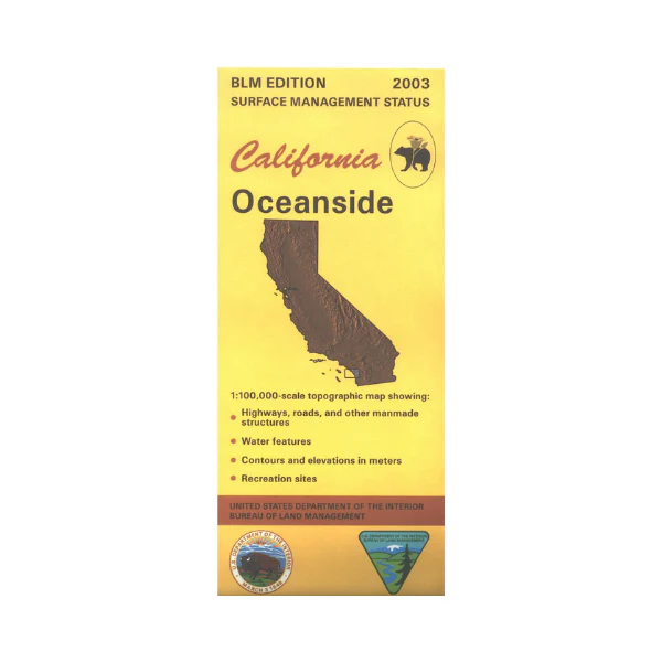
Map: Oceanside CA - CA310S
From Oceanside travel north to South Laguna or south to Cardiff- By- The- Sea. North or east of Camp Pendleton are two small sections of Cleveland National Forest. Three state beaches near Cam Pendleton have some opportunities for camping, fishing, swimming, or hiking. Official Bureau of Land Management metric topographic map @1:100,000 scale (roughly 3/4"=1 mile), color-coded to show surface management, i.e. agency vs. private or tribal ownership. Map shows roads, water features, recreation sites, points of interest, and the township and range lines. Maps show trails and developed recreation areas such as campgrounds. Use this map for Deer Hunting in Units D15 and D16. 2003
More Images
Map: Oceanside CA - CA310S
From Oceanside travel north to South Laguna or south to Cardiff- By- The- Sea. North or east of Camp Pendleton are two small sections of Cleveland National Forest. Three state beaches near Cam Pendleton have some opportunities for camping, fishing, swimming, or hiking. Official Bureau of Land Management metric topographic map @1:100,000 scale (roughly 3/4"=1 mile), color-coded to show surface management, i.e. agency vs. private or tribal ownership. Map shows roads, water features, recreation sites, points of interest, and the township and range lines. Maps show trails and developed recreation areas such as campgrounds. Use this map for Deer Hunting in Units D15 and D16. 2003
Product Information
Product Information
Shipping & Returns
Shipping & Returns
Description
From Oceanside travel north to South Laguna or south to Cardiff- By- The- Sea. North or east of Camp Pendleton are two small sections of Cleveland National Forest. Three state beaches near Cam Pendleton have some opportunities for camping, fishing, swimming, or hiking. Official Bureau of Land Management metric topographic map @1:100,000 scale (roughly 3/4"=1 mile), color-coded to show surface management, i.e. agency vs. private or tribal ownership. Map shows roads, water features, recreation sites, points of interest, and the township and range lines. Maps show trails and developed recreation areas such as campgrounds. Use this map for Deer Hunting in Units D15 and D16. 2003


