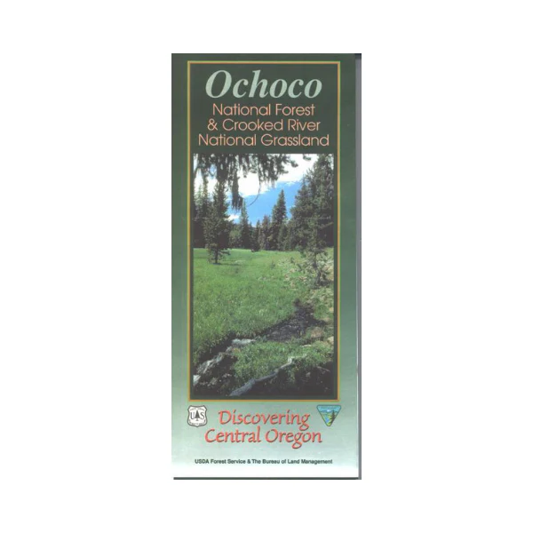
Map: Ochoco OR National Forest & Crooked River National Grassland - 2000
This map shows campgrounds and other recreation sites, corrals, roads, water features, points of interest, trails, and recreation information. Map includes the Black Canyon, Mill Creek, and Bridge Creek Wildernesses; plus extensive BLM lands surrounding the forest. From Madras explore the grasslands with camping, boating, and fishing at Haystack Reservoir or Lake Billy Chinook, or hiking, scenic driving, and wildlife viewing in the grasslands. From Prineville travel northeast to explore the forest; campgrounds and trailheads are marked on the map.
No topographic contours. Scale is 1/2" = 1 mile. Map is useful for OR Hunting Units 36,37,and 38. 2000
More Images
Map: Ochoco OR National Forest & Crooked River National Grassland - 2000
This map shows campgrounds and other recreation sites, corrals, roads, water features, points of interest, trails, and recreation information. Map includes the Black Canyon, Mill Creek, and Bridge Creek Wildernesses; plus extensive BLM lands surrounding the forest. From Madras explore the grasslands with camping, boating, and fishing at Haystack Reservoir or Lake Billy Chinook, or hiking, scenic driving, and wildlife viewing in the grasslands. From Prineville travel northeast to explore the forest; campgrounds and trailheads are marked on the map.
No topographic contours. Scale is 1/2" = 1 mile. Map is useful for OR Hunting Units 36,37,and 38. 2000
Product Information
Product Information
Shipping & Returns
Shipping & Returns
Description
This map shows campgrounds and other recreation sites, corrals, roads, water features, points of interest, trails, and recreation information. Map includes the Black Canyon, Mill Creek, and Bridge Creek Wildernesses; plus extensive BLM lands surrounding the forest. From Madras explore the grasslands with camping, boating, and fishing at Haystack Reservoir or Lake Billy Chinook, or hiking, scenic driving, and wildlife viewing in the grasslands. From Prineville travel northeast to explore the forest; campgrounds and trailheads are marked on the map.
No topographic contours. Scale is 1/2" = 1 mile. Map is useful for OR Hunting Units 36,37,and 38. 2000


