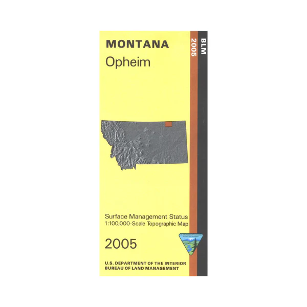
Map: Opheim MT - MT1146S
Map shows lands from the Canadian border to the northern part of Fort Peck Indian Reservation south of Opheim. BLM's Bitter Creek Wilderness Study Area is shown. Official Bureau of Land Management metric topographic map @1:100,000 scale (roughly 3/4"`1 mile), color-coded to show surface
management, i.e. agency vs. private or tribal ownership. Map shows color coded public and private ownership, roads, recreation sites, water features, points of interest and the township
and range lines. Currently only the version with mineral and surface management is available. Use this map for OHV use, and hunting Deer, Elk, and Mountain Lion in Unit 670. 2005
Original: $8.99
-65%$8.99
$3.15More Images
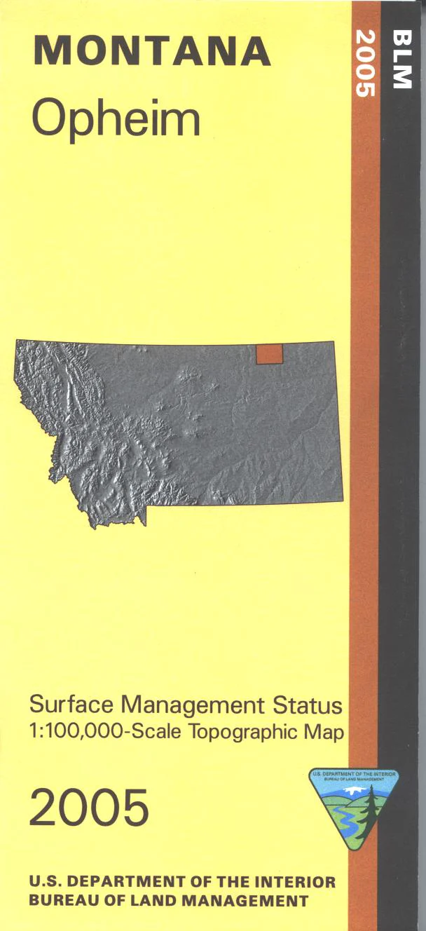
Map: Opheim MT - MT1146S
Map shows lands from the Canadian border to the northern part of Fort Peck Indian Reservation south of Opheim. BLM's Bitter Creek Wilderness Study Area is shown. Official Bureau of Land Management metric topographic map @1:100,000 scale (roughly 3/4"`1 mile), color-coded to show surface
management, i.e. agency vs. private or tribal ownership. Map shows color coded public and private ownership, roads, recreation sites, water features, points of interest and the township
and range lines. Currently only the version with mineral and surface management is available. Use this map for OHV use, and hunting Deer, Elk, and Mountain Lion in Unit 670. 2005
Product Information
Product Information
Shipping & Returns
Shipping & Returns
Description
Map shows lands from the Canadian border to the northern part of Fort Peck Indian Reservation south of Opheim. BLM's Bitter Creek Wilderness Study Area is shown. Official Bureau of Land Management metric topographic map @1:100,000 scale (roughly 3/4"`1 mile), color-coded to show surface
management, i.e. agency vs. private or tribal ownership. Map shows color coded public and private ownership, roads, recreation sites, water features, points of interest and the township
and range lines. Currently only the version with mineral and surface management is available. Use this map for OHV use, and hunting Deer, Elk, and Mountain Lion in Unit 670. 2005


