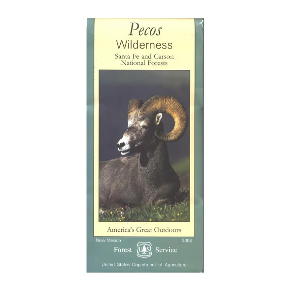
Map: Pecos Wilderness NM
Revised edition of the official USDA Forest Service map @ 1:54,000 scale (with topographic detail and full color shaded relief) showing all lands and trails in the Pecos Wilderness of Santa Fe National Forest. This is a perfect map for hunting, fishing, hiking, camping, backpacking, and horseback riding in the wilderness. Scenic drive to wilderness trails from nearby Santa Fe.
Printed on waterproof, tear-proof, synthetic paper in 2004.
More Images
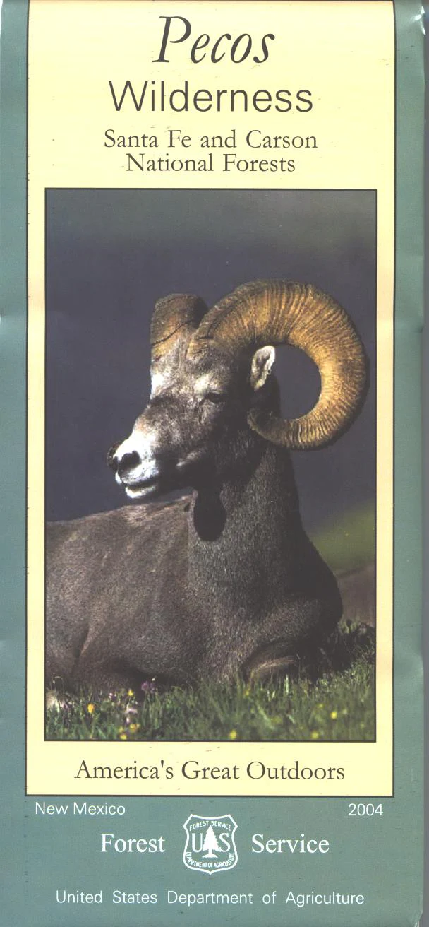
Map: Pecos Wilderness NM
Revised edition of the official USDA Forest Service map @ 1:54,000 scale (with topographic detail and full color shaded relief) showing all lands and trails in the Pecos Wilderness of Santa Fe National Forest. This is a perfect map for hunting, fishing, hiking, camping, backpacking, and horseback riding in the wilderness. Scenic drive to wilderness trails from nearby Santa Fe.
Printed on waterproof, tear-proof, synthetic paper in 2004.
Product Information
Product Information
Shipping & Returns
Shipping & Returns
Description
Revised edition of the official USDA Forest Service map @ 1:54,000 scale (with topographic detail and full color shaded relief) showing all lands and trails in the Pecos Wilderness of Santa Fe National Forest. This is a perfect map for hunting, fishing, hiking, camping, backpacking, and horseback riding in the wilderness. Scenic drive to wilderness trails from nearby Santa Fe.
Printed on waterproof, tear-proof, synthetic paper in 2004.


