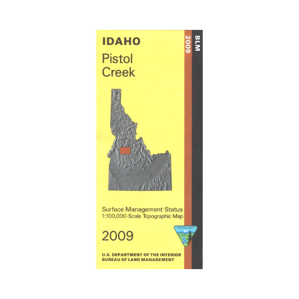
Map: Pistol Creek ID - ID1048S
The map shows national forest lands surrounding Warm Lake, and to the east of Warm Lake, which is located northeast of Cascade Reservoir. Sections of Payette and Boise National Forests along with part of Frank Church River of No Return Wilderness are on this map. Campgrounds, trailheads, and points of interest are marked. Enjoy scenic driving through the forest lands; follow along the South Fork of the Salmon River or along Johnson Creek camping or fishing as you travel. Official Bureau of Land Management metric topographic map @1:100,000 scale (roughly 3/4"`1 mile), color-coded to show Surface Management/ownership. Map shows roads, forest roads, OHV roads, waterways, recreation sites, trails, and points of interest. Map is useful for OHV use, and ID Hunting Units 24, 25, 26, 27, 34. 2009
More Images
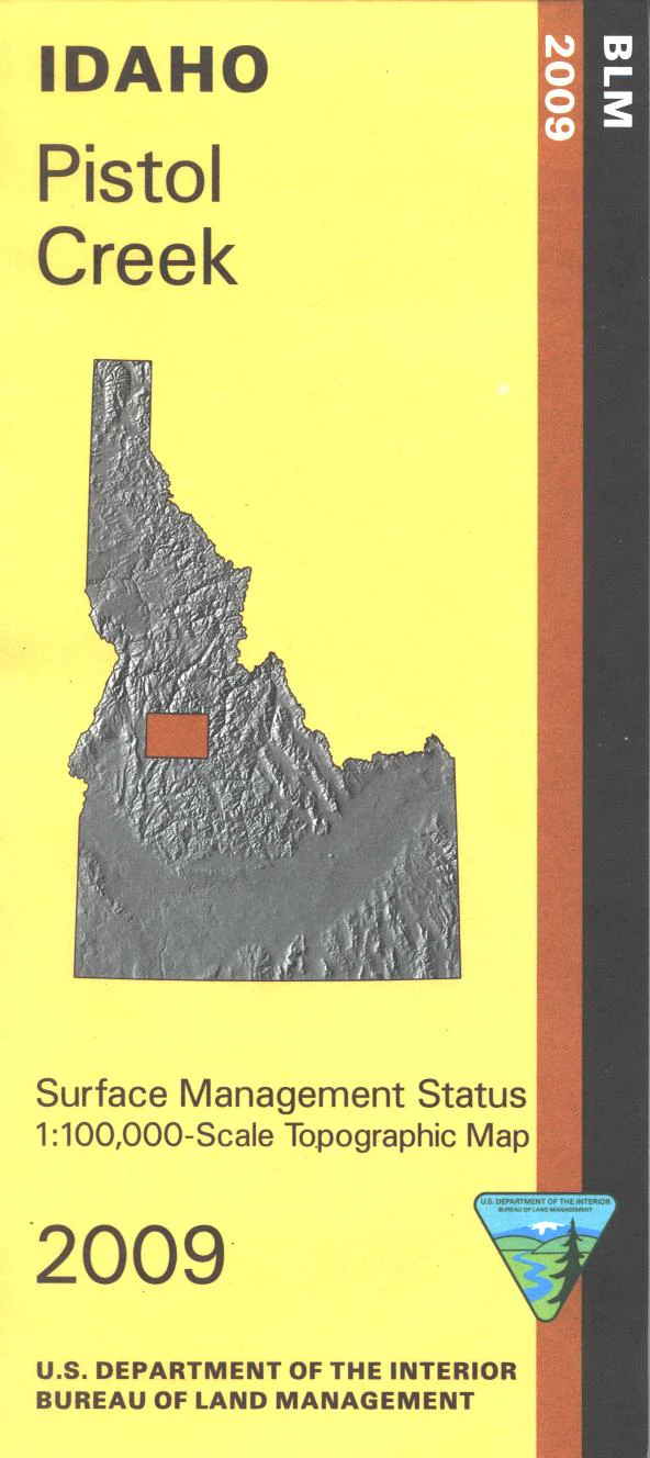
Map: Pistol Creek ID - ID1048S
The map shows national forest lands surrounding Warm Lake, and to the east of Warm Lake, which is located northeast of Cascade Reservoir. Sections of Payette and Boise National Forests along with part of Frank Church River of No Return Wilderness are on this map. Campgrounds, trailheads, and points of interest are marked. Enjoy scenic driving through the forest lands; follow along the South Fork of the Salmon River or along Johnson Creek camping or fishing as you travel. Official Bureau of Land Management metric topographic map @1:100,000 scale (roughly 3/4"`1 mile), color-coded to show Surface Management/ownership. Map shows roads, forest roads, OHV roads, waterways, recreation sites, trails, and points of interest. Map is useful for OHV use, and ID Hunting Units 24, 25, 26, 27, 34. 2009
Product Information
Product Information
Shipping & Returns
Shipping & Returns
Description
The map shows national forest lands surrounding Warm Lake, and to the east of Warm Lake, which is located northeast of Cascade Reservoir. Sections of Payette and Boise National Forests along with part of Frank Church River of No Return Wilderness are on this map. Campgrounds, trailheads, and points of interest are marked. Enjoy scenic driving through the forest lands; follow along the South Fork of the Salmon River or along Johnson Creek camping or fishing as you travel. Official Bureau of Land Management metric topographic map @1:100,000 scale (roughly 3/4"`1 mile), color-coded to show Surface Management/ownership. Map shows roads, forest roads, OHV roads, waterways, recreation sites, trails, and points of interest. Map is useful for OHV use, and ID Hunting Units 24, 25, 26, 27, 34. 2009


