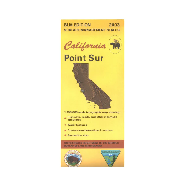
Map: Point Sur CA - CA360S
Map covers the coastline from Garrapata State Park south to Limekiln State Park, and east from Point Sur to San Lucas. East of Point Sur or west of Greenfield is Los Padres National Forest and Ventana Wilderness, with opportunities for camping, hiking, and backpacking. Five state parks are on the coast offering various recreational opportunities. Official Bureau of Land Management metric topographic map @1:100,000 scale (roughly 3/4"=1 mile), color-coded to show surface management, i.e. agency vs. private or tribal ownership. Map shows roads, water features, recreation sites, points of interest, and the township and range lines. Maps show trails and developed recreation areas such as campgrounds. Use this map for Deer Hunting in Unit A South 110, and for Elk Hunting in La Panza Zone. 2003
Original: $8.99
-65%$8.99
$3.15More Images
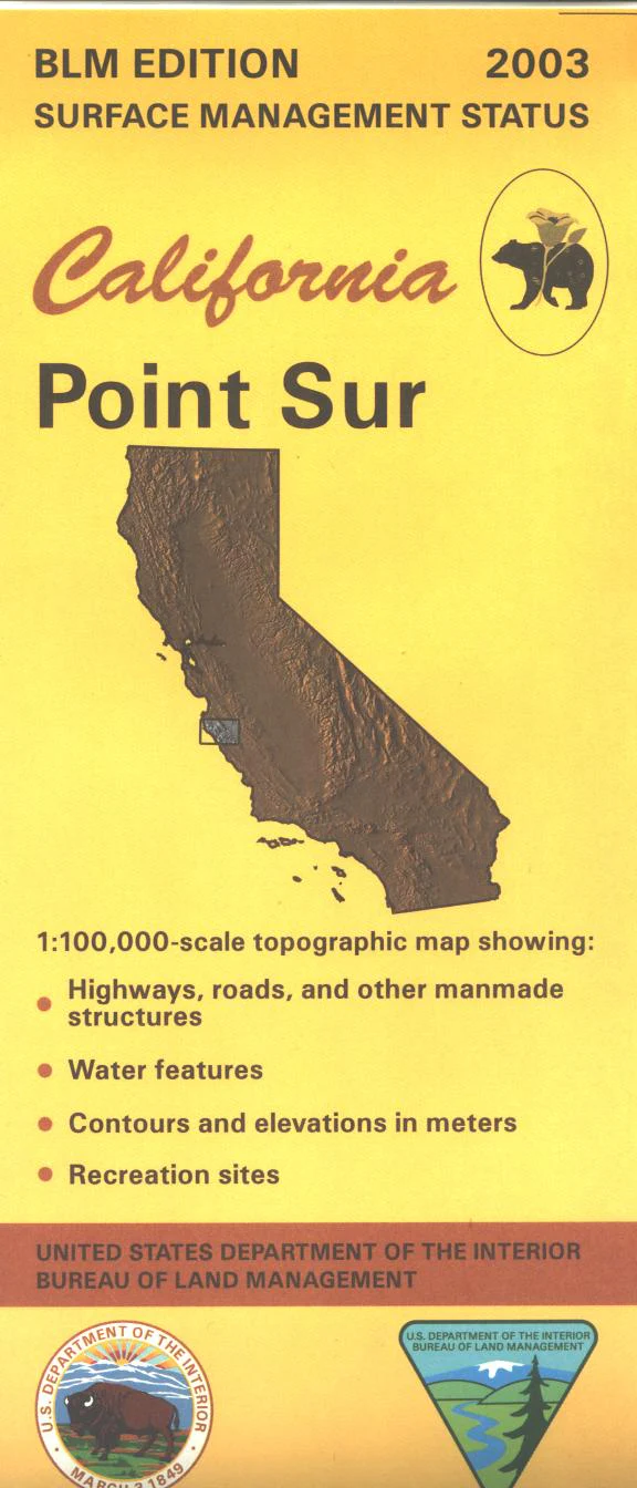
Map: Point Sur CA - CA360S
Map covers the coastline from Garrapata State Park south to Limekiln State Park, and east from Point Sur to San Lucas. East of Point Sur or west of Greenfield is Los Padres National Forest and Ventana Wilderness, with opportunities for camping, hiking, and backpacking. Five state parks are on the coast offering various recreational opportunities. Official Bureau of Land Management metric topographic map @1:100,000 scale (roughly 3/4"=1 mile), color-coded to show surface management, i.e. agency vs. private or tribal ownership. Map shows roads, water features, recreation sites, points of interest, and the township and range lines. Maps show trails and developed recreation areas such as campgrounds. Use this map for Deer Hunting in Unit A South 110, and for Elk Hunting in La Panza Zone. 2003
Product Information
Product Information
Shipping & Returns
Shipping & Returns
Description
Map covers the coastline from Garrapata State Park south to Limekiln State Park, and east from Point Sur to San Lucas. East of Point Sur or west of Greenfield is Los Padres National Forest and Ventana Wilderness, with opportunities for camping, hiking, and backpacking. Five state parks are on the coast offering various recreational opportunities. Official Bureau of Land Management metric topographic map @1:100,000 scale (roughly 3/4"=1 mile), color-coded to show surface management, i.e. agency vs. private or tribal ownership. Map shows roads, water features, recreation sites, points of interest, and the township and range lines. Maps show trails and developed recreation areas such as campgrounds. Use this map for Deer Hunting in Unit A South 110, and for Elk Hunting in La Panza Zone. 2003


