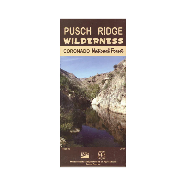
Map: Pusch Ridge Wilderness AZ
This map shows detailed coverage of the entire 56,933-acre Pusch Ridge Wilderness in the Santa Catalina Moutains outside of Tucson AZ. The wilderness is part of Coronado National Forest with several
trailhead accesses from Catalina State Park, Sabino Canyon, or Mount Lemmon Hwy. Map is great for hiking, backpacking, and horseback riding in the wilderness. No motorized use permitted. Map is useful for AZ Hunting Unit 33. The scale is 1:24,000. Revised in 2014, and printed on synthetic paper.
Original: $19.99
-65%$19.99
$7.00More Images
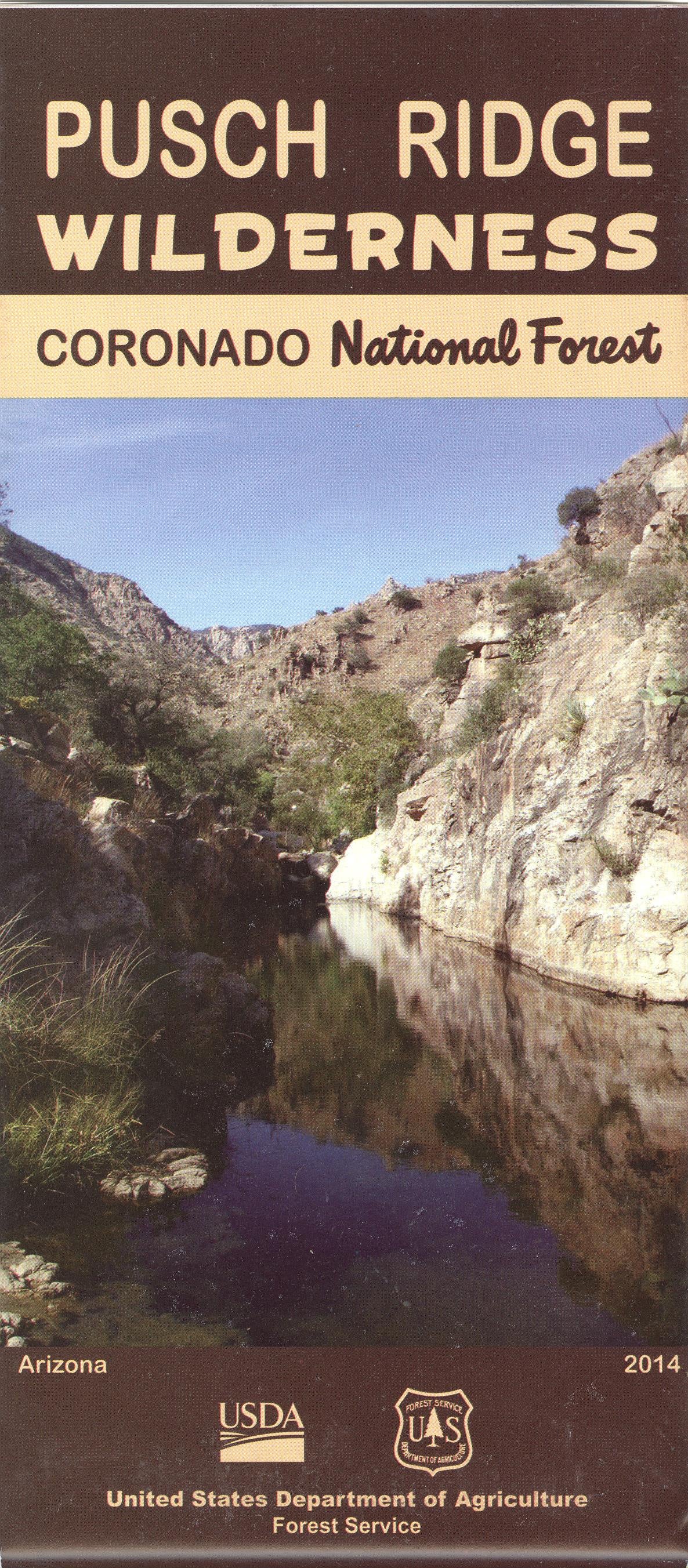
Map: Pusch Ridge Wilderness AZ
This map shows detailed coverage of the entire 56,933-acre Pusch Ridge Wilderness in the Santa Catalina Moutains outside of Tucson AZ. The wilderness is part of Coronado National Forest with several
trailhead accesses from Catalina State Park, Sabino Canyon, or Mount Lemmon Hwy. Map is great for hiking, backpacking, and horseback riding in the wilderness. No motorized use permitted. Map is useful for AZ Hunting Unit 33. The scale is 1:24,000. Revised in 2014, and printed on synthetic paper.
Product Information
Product Information
Shipping & Returns
Shipping & Returns
Description
This map shows detailed coverage of the entire 56,933-acre Pusch Ridge Wilderness in the Santa Catalina Moutains outside of Tucson AZ. The wilderness is part of Coronado National Forest with several
trailhead accesses from Catalina State Park, Sabino Canyon, or Mount Lemmon Hwy. Map is great for hiking, backpacking, and horseback riding in the wilderness. No motorized use permitted. Map is useful for AZ Hunting Unit 33. The scale is 1:24,000. Revised in 2014, and printed on synthetic paper.