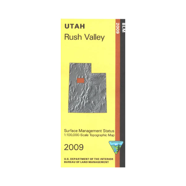
Map: Rush Valley UT - UT132S
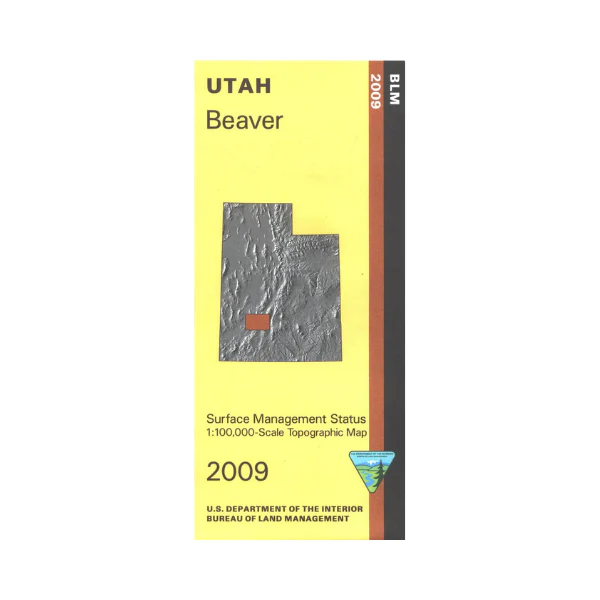
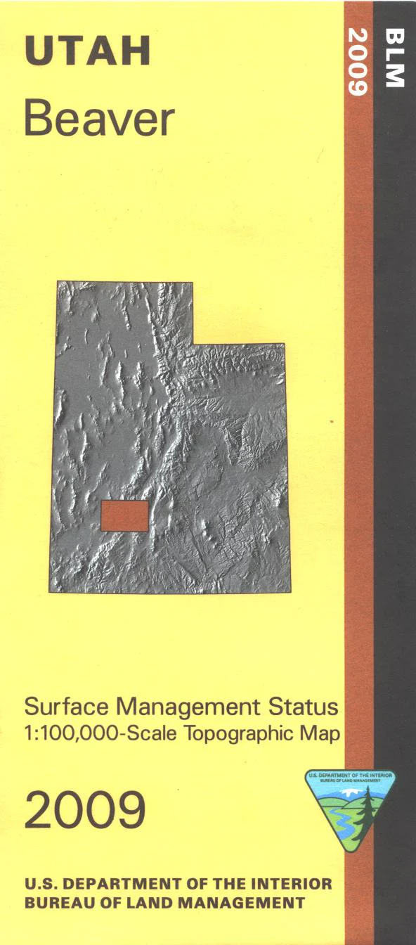
Map shows mostly BLM land from Fairfield west to Dugway Proving Ground(military). Explore Skull Valley, the Onaqui Mountains, Rush Valley and the Pony Express National Historic Trail and Scenic Backway. Also shown are two small sections of Wasatch Cache National Forest, the north section includes part of Desert Peak Wilderness. Official Bureau of Land Management metric topographic map @1:100,000 scale (roughly 3/4"`1 mile), color-coded to show Surface Management/ownership i.e. agency vs. private or tribal. Map shows roads, water features, recreation sites, points of interest, and township and range lines. Use this map for hunting in the Oquirrh-Stansbury and West Desert units. 2009
Original: $8.99
-65%$8.99
$3.15More Images
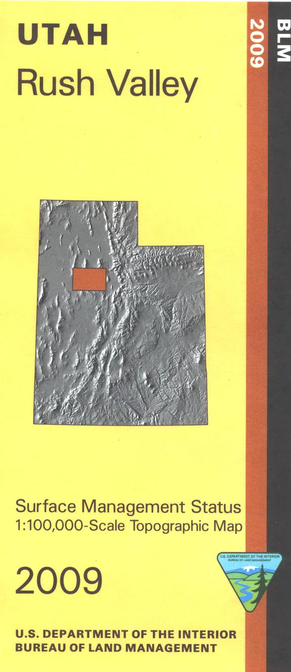
Map: Rush Valley UT - UT132S
Map shows mostly BLM land from Fairfield west to Dugway Proving Ground(military). Explore Skull Valley, the Onaqui Mountains, Rush Valley and the Pony Express National Historic Trail and Scenic Backway. Also shown are two small sections of Wasatch Cache National Forest, the north section includes part of Desert Peak Wilderness. Official Bureau of Land Management metric topographic map @1:100,000 scale (roughly 3/4"`1 mile), color-coded to show Surface Management/ownership i.e. agency vs. private or tribal. Map shows roads, water features, recreation sites, points of interest, and township and range lines. Use this map for hunting in the Oquirrh-Stansbury and West Desert units. 2009
Product Information
Product Information
Shipping & Returns
Shipping & Returns
Description
Map shows mostly BLM land from Fairfield west to Dugway Proving Ground(military). Explore Skull Valley, the Onaqui Mountains, Rush Valley and the Pony Express National Historic Trail and Scenic Backway. Also shown are two small sections of Wasatch Cache National Forest, the north section includes part of Desert Peak Wilderness. Official Bureau of Land Management metric topographic map @1:100,000 scale (roughly 3/4"`1 mile), color-coded to show Surface Management/ownership i.e. agency vs. private or tribal. Map shows roads, water features, recreation sites, points of interest, and township and range lines. Use this map for hunting in the Oquirrh-Stansbury and West Desert units. 2009