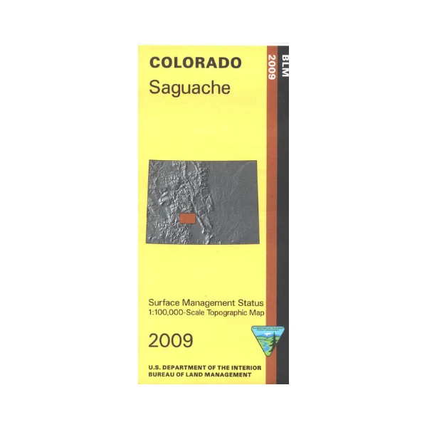
Map: Saguache CO - CO146S
The BLM quadrant maps are scaled at 1:100,000, and cover an area of about 30 x 50 miles. The Gunnison National Forest, the Rio Grande National Forest, the San Isabel National Forest, and extensive BLM lands provide you with great recreational opportunities, including hiking, backpacking, and camping, and OHV/ATV riding. The Colorado Trail and Continental Divide Trail in the Cochetopa Hills are marked. Camping at O'Haver Lake near Hwy 285. Scenic driving in the forests on Hwy 285 and Hwy 114. Map is useful for OHV use, and Colorado Hunting Units 67,68, 551, 561, 681, and 682. Ownership status is denoted by color, and roads, lakes, streams, and other topographical features are marked on these maps. 2009
More Images
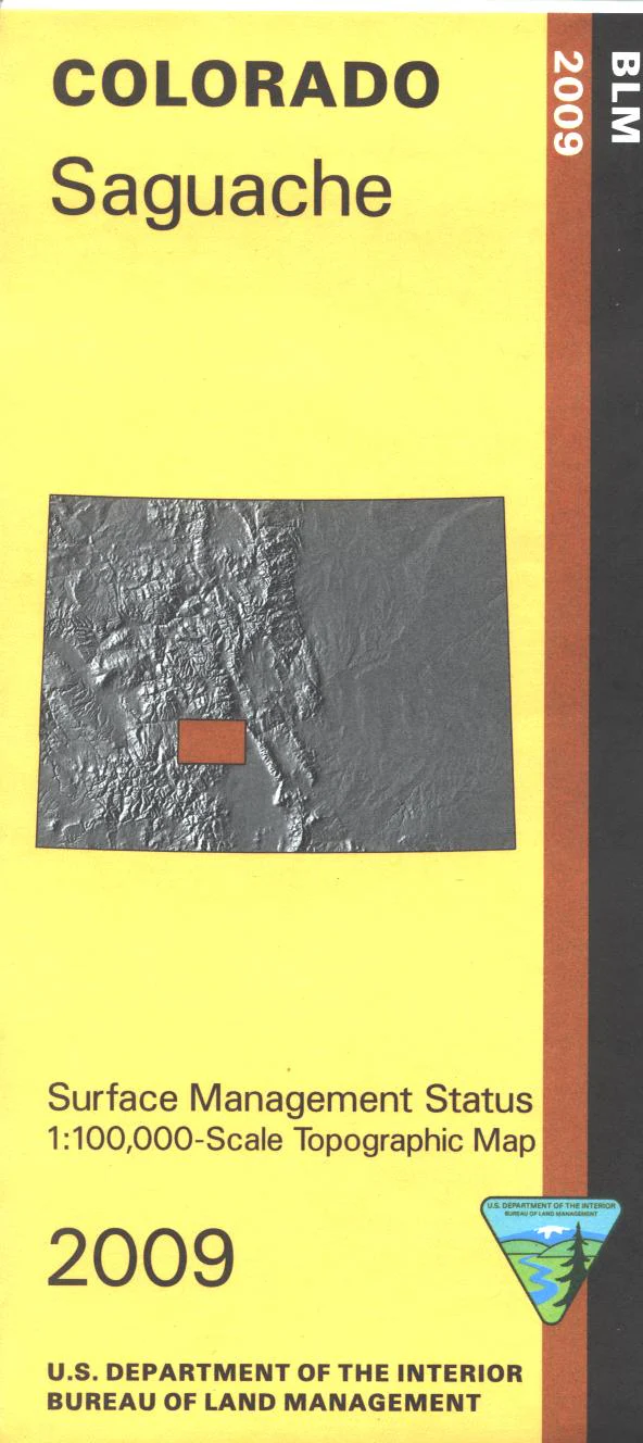
Map: Saguache CO - CO146S
The BLM quadrant maps are scaled at 1:100,000, and cover an area of about 30 x 50 miles. The Gunnison National Forest, the Rio Grande National Forest, the San Isabel National Forest, and extensive BLM lands provide you with great recreational opportunities, including hiking, backpacking, and camping, and OHV/ATV riding. The Colorado Trail and Continental Divide Trail in the Cochetopa Hills are marked. Camping at O'Haver Lake near Hwy 285. Scenic driving in the forests on Hwy 285 and Hwy 114. Map is useful for OHV use, and Colorado Hunting Units 67,68, 551, 561, 681, and 682. Ownership status is denoted by color, and roads, lakes, streams, and other topographical features are marked on these maps. 2009
Product Information
Product Information
Shipping & Returns
Shipping & Returns
Description
The BLM quadrant maps are scaled at 1:100,000, and cover an area of about 30 x 50 miles. The Gunnison National Forest, the Rio Grande National Forest, the San Isabel National Forest, and extensive BLM lands provide you with great recreational opportunities, including hiking, backpacking, and camping, and OHV/ATV riding. The Colorado Trail and Continental Divide Trail in the Cochetopa Hills are marked. Camping at O'Haver Lake near Hwy 285. Scenic driving in the forests on Hwy 285 and Hwy 114. Map is useful for OHV use, and Colorado Hunting Units 67,68, 551, 561, 681, and 682. Ownership status is denoted by color, and roads, lakes, streams, and other topographical features are marked on these maps. 2009


